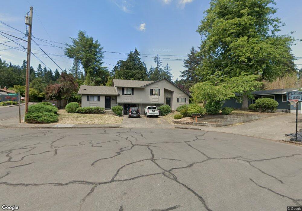
83 Somerset Ct Eugene, OR 97405
Crest Drive NeighborhoodEstimated Value: $454,000 - $620,000
5
Beds
2
Baths
2,032
Sq Ft
$278/Sq Ft
Est. Value
About This Home
This home is located at 83 Somerset Ct, Eugene, OR 97405 and is currently estimated at $564,726, approximately $277 per square foot. 83 Somerset Ct is a home located in Lane County with nearby schools including Edgewood Community Elementary School, Spencer Butte Middle School, and South Eugene High School.
Ownership History
Date
Name
Owned For
Owner Type
Purchase Details
Closed on
Mar 17, 2004
Sold by
Degrange Diane K
Bought by
Moore Richard L
Current Estimated Value
Home Financials for this Owner
Home Financials are based on the most recent Mortgage that was taken out on this home.
Original Mortgage
$168,000
Outstanding Balance
$66,911
Interest Rate
3.68%
Mortgage Type
Purchase Money Mortgage
Estimated Equity
$497,815
Create a Home Valuation Report for This Property
The Home Valuation Report is an in-depth analysis detailing your home's value as well as a comparison with similar homes in the area
Home Values in the Area
Average Home Value in this Area
Purchase History
| Date | Buyer | Sale Price | Title Company |
|---|---|---|---|
| Moore Richard L | $210,000 | Western Pioneer Title Co |
Source: Public Records
Mortgage History
| Date | Status | Borrower | Loan Amount |
|---|---|---|---|
| Open | Moore Richard L | $168,000 | |
| Closed | Moore Richard L | $21,000 |
Source: Public Records
Tax History
| Year | Tax Paid | Tax Assessment Tax Assessment Total Assessment is a certain percentage of the fair market value that is determined by local assessors to be the total taxable value of land and additions on the property. | Land | Improvement |
|---|---|---|---|---|
| 2025 | $5,370 | $275,636 | -- | -- |
| 2024 | $5,304 | $267,608 | -- | -- |
| 2023 | $5,304 | $259,814 | $0 | $0 |
| 2022 | $4,969 | $252,247 | $0 | $0 |
| 2021 | $4,667 | $244,900 | $0 | $0 |
| 2020 | $4,683 | $237,767 | $0 | $0 |
| 2019 | $4,523 | $230,842 | $0 | $0 |
| 2018 | $4,257 | $217,591 | $0 | $0 |
| 2017 | $4,067 | $217,591 | $0 | $0 |
| 2016 | $3,888 | $211,253 | $0 | $0 |
| 2015 | $3,686 | $205,100 | $0 | $0 |
| 2014 | $3,620 | $199,126 | $0 | $0 |
Source: Public Records
Map
Nearby Homes
- 357 W 37th Ave
- 3593 Lawrence St
- 275 E 39th Ave
- 170 E 40th Ave
- 453 Dellwood Dr
- 434 E 39th Ave
- 605 Fulvue Dr
- 4023 Donald St Unit K
- 3854 Monroe St
- 4083 Donald St Unit A
- 0 Hidden Meadows
- 806 Sundance St
- 0 E 39th Ave
- 365 Brae Burn Dr
- 17 Westbrook Way
- 21 Westbrook Way
- 555 Stafford Ct
- 4295 Ferry St
- 36 Westbrook Way
- 585 E 36th Ave
Your Personal Tour Guide
Ask me questions while you tour the home.