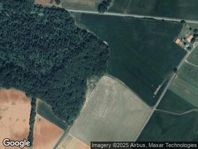
83 W Martin Rd Rock Island, TN 38581
Estimated Value: $147,351 - $212,000
--
Bed
2
Baths
1,242
Sq Ft
$145/Sq Ft
Est. Value
About This Home
This home is located at 83 W Martin Rd, Rock Island, TN 38581 and is currently estimated at $180,088, approximately $144 per square foot. 83 W Martin Rd is a home located in Warren County with nearby schools including Eastside Elementary School and Warren County High School.
Ownership History
Date
Name
Owned For
Owner Type
Purchase Details
Closed on
May 25, 2023
Sold by
Foster Thomas
Bought by
Martin Ernest and Martin Anna Lue
Current Estimated Value
Home Financials for this Owner
Home Financials are based on the most recent Mortgage that was taken out on this home.
Original Mortgage
$243,955
Outstanding Balance
$238,711
Interest Rate
6.39%
Mortgage Type
New Conventional
Estimated Equity
-$32,749
Purchase Details
Closed on
May 30, 2000
Bought by
Sheila Jewell
Create a Home Valuation Report for This Property
The Home Valuation Report is an in-depth analysis detailing your home's value as well as a comparison with similar homes in the area
Home Values in the Area
Average Home Value in this Area
Purchase History
| Date | Buyer | Sale Price | Title Company |
|---|---|---|---|
| Martin Ernest | $241,500 | 1810 Title | |
| Grissom Jeffery Martin | $206,500 | 1810 Title | |
| Harris Don | $35,000 | 1810 Title | |
| Sheila Jewell | -- | -- |
Source: Public Records
Mortgage History
| Date | Status | Borrower | Loan Amount |
|---|---|---|---|
| Open | Martin Ernest | $243,955 |
Source: Public Records
Tax History Compared to Growth
Tax History
| Year | Tax Paid | Tax Assessment Tax Assessment Total Assessment is a certain percentage of the fair market value that is determined by local assessors to be the total taxable value of land and additions on the property. | Land | Improvement |
|---|---|---|---|---|
| 2024 | $490 | $24,900 | $6,700 | $18,200 |
| 2023 | $838 | $24,900 | $6,700 | $18,200 |
| 2022 | $838 | $42,575 | $23,850 | $18,725 |
| 2021 | $838 | $42,575 | $23,850 | $18,725 |
| 2020 | $717 | $42,575 | $23,850 | $18,725 |
| 2019 | $819 | $36,475 | $21,175 | $15,300 |
| 2018 | $717 | $36,475 | $21,175 | $15,300 |
| 2017 | $717 | $36,475 | $21,175 | $15,300 |
| 2016 | $710 | $36,250 | $21,175 | $15,075 |
| 2015 | $720 | $36,100 | $21,175 | $14,925 |
| 2014 | $620 | $36,100 | $21,175 | $14,925 |
| 2013 | $620 | $31,082 | $0 | $0 |
Source: Public Records
Map
Nearby Homes
- 391 Azalea Dr
- 136 E School Dr
- 128 Briarwood Dr
- 3667 Locke Bend Rd
- 50.35AC Hankins Rd
- 50A Hankins Rd
- 412 Rock Station Rd
- 0 R Gribble Rd Unit RTC2739927
- 3295 Locke Bend Rd
- 0 Rock Station Rd
- 1 Starlight Rd
- 0 Starlight Rd
- 7 Long Mountain
- 879 Crain Rd
- 0 Goodbar Rd Unit RTC2866833
- 0 Goodbar Rd Unit RTC2866387
- 0 Goodbar Rd Unit RTC2866377
- 0 Goodbar Rd Unit RTC2819433
- 0 Goodbar Rd Unit RTC2819430
- 0 Goodbar Rd Unit RTC2819428
- 83 W Martin Rd
- 0 Dee Lusk Rd Unit 1867405
- 0 Dee Lusk Rd Unit 1737147
- 0 Dee Lusk Rd Unit 1785396
- 00 Melvin Scott
- 87 Dee Lusk Rd
- 3310 Spencer Rd
- 3415 Spencer Rd
- W Martin Rd
- 455 W Martin Rd
- 2730 Spencer Rd
- 130 Cumberland Rd
- 567 Royal Dr
- 104 Cumberland Rd
- 587 Royal Dr
- 425 Royal Dr
- 2633 Spencer Rd
- 88 Cumberland Rd
- 191 Garrett Ln
- 100 AC Collier Ln
