8300 Baldwin Ave Northfield, MN 55057
Estimated Value: $752,000 - $825,340
4
Beds
3
Baths
1,760
Sq Ft
$447/Sq Ft
Est. Value
About This Home
This home is located at 8300 Baldwin Ave, Northfield, MN 55057 and is currently estimated at $786,335, approximately $446 per square foot. 8300 Baldwin Ave is a home located in Rice County with nearby schools including Bridgewater Elementary School, Northfield Middle School, and Northfield Senior High School.
Ownership History
Date
Name
Owned For
Owner Type
Purchase Details
Closed on
Nov 29, 2018
Sold by
Lorang Richard H and Lorang Virginia A
Bought by
Mcbeain Thomas O and Mcbeain Tamra M
Current Estimated Value
Home Financials for this Owner
Home Financials are based on the most recent Mortgage that was taken out on this home.
Original Mortgage
$372,000
Outstanding Balance
$326,456
Interest Rate
4.8%
Mortgage Type
New Conventional
Estimated Equity
$459,879
Purchase Details
Closed on
Jun 17, 2011
Sold by
Graff Deborah Jean
Bought by
Lorang Richard H and Lorang Virginia A
Create a Home Valuation Report for This Property
The Home Valuation Report is an in-depth analysis detailing your home's value as well as a comparison with similar homes in the area
Purchase History
| Date | Buyer | Sale Price | Title Company |
|---|---|---|---|
| Mcbeain Thomas O | $549,900 | Burnet Title | |
| Lorang Richard H | $320,000 | -- |
Source: Public Records
Mortgage History
| Date | Status | Borrower | Loan Amount |
|---|---|---|---|
| Open | Mcbeain Thomas O | $372,000 |
Source: Public Records
Tax History
| Year | Tax Paid | Tax Assessment Tax Assessment Total Assessment is a certain percentage of the fair market value that is determined by local assessors to be the total taxable value of land and additions on the property. | Land | Improvement |
|---|---|---|---|---|
| 2025 | $9,070 | $747,600 | $206,200 | $541,400 |
| 2024 | $9,070 | $709,800 | $178,300 | $531,500 |
| 2023 | $7,156 | $709,800 | $178,300 | $531,500 |
| 2022 | $6,798 | $628,200 | $144,800 | $483,400 |
| 2021 | $7,038 | $552,700 | $127,500 | $425,200 |
| 2020 | $6,738 | $543,300 | $125,000 | $418,300 |
| 2019 | $6,618 | $509,200 | $125,000 | $384,200 |
| 2018 | $6,230 | $484,100 | $125,000 | $359,100 |
| 2017 | $6,190 | $441,800 | $125,000 | $316,800 |
| 2016 | $6,482 | $442,000 | $125,000 | $317,000 |
| 2015 | $6,112 | $445,400 | $125,000 | $320,400 |
| 2014 | -- | $433,800 | $127,200 | $306,600 |
Source: Public Records
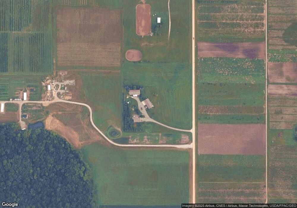
Map
Nearby Homes
- 7243 Hazelwood Ave
- 8625 Bagley Ave
- XXXXX 330th St
- 2680 88th Ct W
- 514 Miller Ln
- 210 Mill St W
- 404 Archibald Ln
- 607 Miller Ct
- 8882 298th Ct W
- 8858 298th Ct W
- 1421 Blue Flag Ct
- xxx Weaver Rd
- 1556 Independence Dr Unit 202
- 1574 Independence Dr Unit 701
- 1128 Highland Ave
- 651 Lincoln St N
- 31XX 121st
- 32XX 121st St E
- TBD Minnesota 3
- 812 Saint Olaf Ave
- 8400 Baldwin Ave
- 2435 Lonsdale Blvd E
- 2545 Lonsdale Blvd E
- 9335 330th St W
- 9425 330th St W
- 9009 330th St W
- 8777 Baldwin Ave
- 2751 Lonsdale Blvd E
- 2011 330th St E
- 2011 330 Th St E
- 8751 330th St W
- 2720 90th St E
- 2626 90th St E
- 2740 90th St E
- 2288 90th St E
- 1751 Lonsdale Blvd E
- 2251 90th St E
- 2800 90th St E
- 2525 90th St E
- 9785 330th St W
Your Personal Tour Guide
Ask me questions while you tour the home.