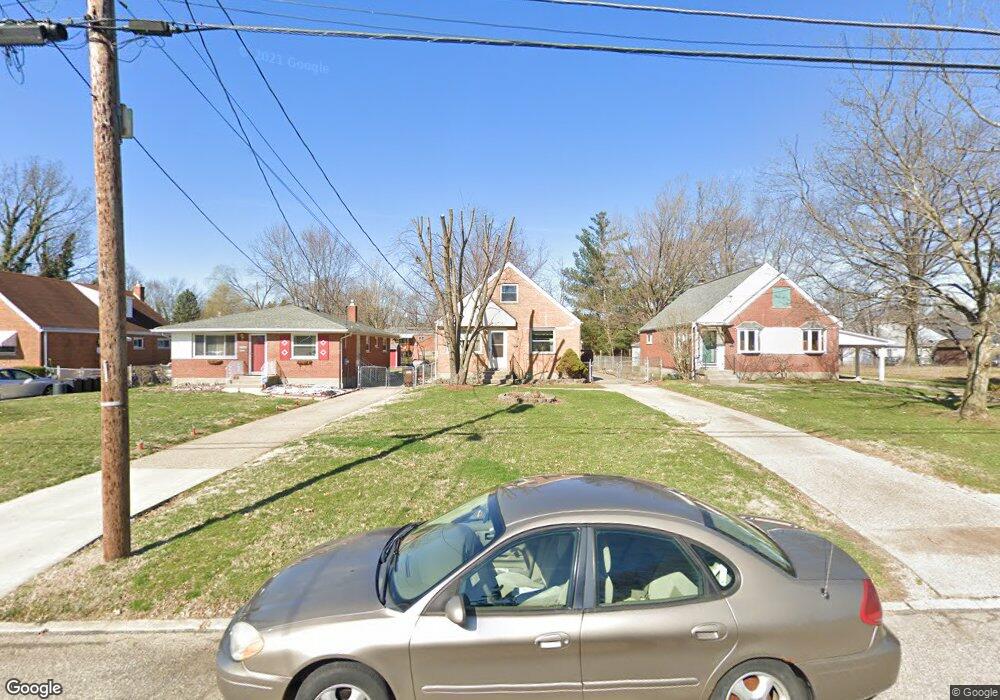
8309 Bobolink Dr Cincinnati, OH 45231
Estimated Value: $181,000 - $220,000
4
Beds
1
Bath
1,221
Sq Ft
$163/Sq Ft
Est. Value
About This Home
This home is located at 8309 Bobolink Dr, Cincinnati, OH 45231 and is currently estimated at $199,498, approximately $163 per square foot. 8309 Bobolink Dr is a home located in Hamilton County with nearby schools including North College Hill Elementary School, North College Hill Middle School, and North College Hill High School.
Ownership History
Date
Name
Owned For
Owner Type
Purchase Details
Closed on
Dec 19, 1997
Sold by
Bosse Steven G and Bosse Lisa R
Bought by
Nigg Raymond P and Nigg Cecelia M
Current Estimated Value
Create a Home Valuation Report for This Property
The Home Valuation Report is an in-depth analysis detailing your home's value as well as a comparison with similar homes in the area
Home Values in the Area
Average Home Value in this Area
Purchase History
| Date | Buyer | Sale Price | Title Company |
|---|---|---|---|
| Nigg Raymond P | $85,400 | -- |
Source: Public Records
Tax History Compared to Growth
Tax History
| Year | Tax Paid | Tax Assessment Tax Assessment Total Assessment is a certain percentage of the fair market value that is determined by local assessors to be the total taxable value of land and additions on the property. | Land | Improvement |
|---|---|---|---|---|
| 2024 | $2,302 | $45,346 | $7,245 | $38,101 |
| 2023 | $2,320 | $45,346 | $7,245 | $38,101 |
| 2022 | $2,113 | $29,474 | $5,478 | $23,996 |
| 2021 | $2,072 | $29,474 | $5,478 | $23,996 |
| 2020 | $1,814 | $29,474 | $5,478 | $23,996 |
| 2019 | $1,782 | $25,855 | $4,806 | $21,049 |
| 2018 | $1,783 | $25,855 | $4,806 | $21,049 |
| 2017 | $1,689 | $25,855 | $4,806 | $21,049 |
| 2016 | $1,313 | $21,350 | $6,930 | $14,420 |
| 2015 | $1,314 | $21,350 | $6,930 | $14,420 |
| 2014 | $1,312 | $21,350 | $6,930 | $14,420 |
| 2013 | $1,273 | $21,350 | $6,930 | $14,420 |
Source: Public Records
Map
Nearby Homes
- 7929 Cherrywood Ct
- 7923 Bobolink Dr
- 1280 Brushwood Ave
- 8579 Daly Rd
- 8543 Foxcroft Dr
- 8681 Desoto Dr
- 6832 Tarawa Dr
- 6765 Richard Ave
- 1544 W Galbraith Rd
- 6785 Marvin Ave
- 1478 Foxwood Dr
- 6596 S Oak Knoll Dr
- 6586 S Oak Knoll Dr
- 8772 Balboa Dr
- 6642 Plantation Way
- 1025 Eastgate Dr
- 8584 Mockingbird Ln
- 1029 Bluejay Dr
- 8627 Mockingbird Ln
- 1006 Hearthstone Dr
- 8309 Bobolink Ave
- 8317 Bobolink Dr
- 8301 Bobolink Ave
- 8317 Bobolink Ave
- 8301 Bobolink Dr
- 8295 Bobolink Ave
- 8308 Carrol Ave
- 8289 Bobolink Ave
- 8298 Carrol Ave
- 8316 Carrol Ave
- 8331 Bobolink Ave
- 8331 Bobolink Dr
- 8290 Carrol Ave
- 8337 Bobolink Ave
- 8326 Carrol Ave
- 8326 Carrol Ave Unit 120
- 8284 Carrol Ave
- 8306 Bobolink Dr
- 8316 Bobolink Dr
- 8316 Bobolink Ave