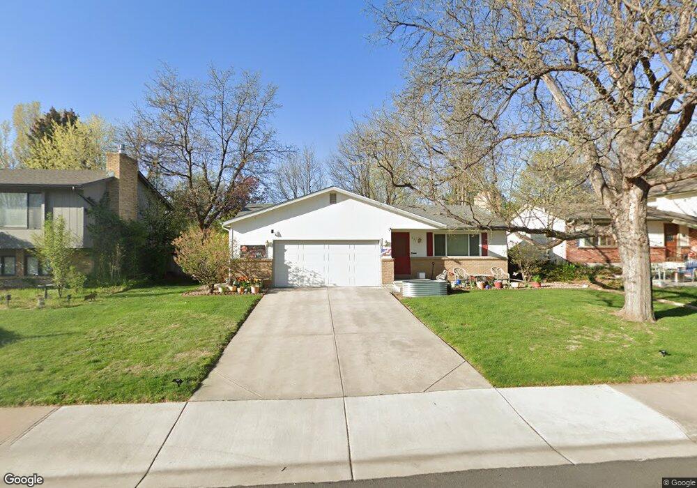
831 Cambridge Dr Fort Collins, CO 80525
Cottonwood NeighborhoodEstimated Value: $544,000 - $575,000
4
Beds
3
Baths
2,291
Sq Ft
$246/Sq Ft
Est. Value
About This Home
This home is located at 831 Cambridge Dr, Fort Collins, CO 80525 and is currently estimated at $563,805, approximately $246 per square foot. 831 Cambridge Dr is a home located in Larimer County with nearby schools including O'Dea Elementary School, Lesher Middle School, and Fort Collins High School.
Ownership History
Date
Name
Owned For
Owner Type
Purchase Details
Closed on
Jan 28, 2004
Sold by
Coventry Constance L
Bought by
Riggs Thomas Dean and Riggs Linda Jane
Current Estimated Value
Home Financials for this Owner
Home Financials are based on the most recent Mortgage that was taken out on this home.
Original Mortgage
$140,000
Outstanding Balance
$64,972
Interest Rate
5.79%
Mortgage Type
Purchase Money Mortgage
Estimated Equity
$498,833
Purchase Details
Closed on
Mar 10, 2003
Sold by
Coventry Constance L
Bought by
Coventry Constance L
Purchase Details
Closed on
May 19, 1998
Sold by
Deines Palmer J
Bought by
Deines Matie J and The Palmer J & Matie J Deines Revocable
Create a Home Valuation Report for This Property
The Home Valuation Report is an in-depth analysis detailing your home's value as well as a comparison with similar homes in the area
Home Values in the Area
Average Home Value in this Area
Purchase History
| Date | Buyer | Sale Price | Title Company |
|---|---|---|---|
| Riggs Thomas Dean | $210,000 | Fahtco | |
| Coventry Constance L | -- | -- | |
| Deines Matie J | -- | -- |
Source: Public Records
Mortgage History
| Date | Status | Borrower | Loan Amount |
|---|---|---|---|
| Open | Riggs Thomas Dean | $140,000 |
Source: Public Records
Tax History Compared to Growth
Tax History
| Year | Tax Paid | Tax Assessment Tax Assessment Total Assessment is a certain percentage of the fair market value that is determined by local assessors to be the total taxable value of land and additions on the property. | Land | Improvement |
|---|---|---|---|---|
| 2025 | $2,631 | $37,808 | $3,015 | $34,793 |
| 2024 | $3,115 | $37,808 | $3,015 | $34,793 |
| 2022 | $2,713 | $28,732 | $3,128 | $25,604 |
| 2021 | $2,742 | $29,559 | $3,218 | $26,341 |
| 2020 | $2,536 | $27,106 | $3,218 | $23,888 |
| 2019 | $2,547 | $27,106 | $3,218 | $23,888 |
| 2018 | $2,356 | $25,855 | $3,240 | $22,615 |
| 2017 | $2,348 | $25,855 | $3,240 | $22,615 |
| 2016 | $2,037 | $22,312 | $3,582 | $18,730 |
| 2015 | $2,022 | $22,310 | $3,580 | $18,730 |
| 2014 | $1,770 | $19,400 | $3,580 | $15,820 |
Source: Public Records
Map
Nearby Homes
- 924 Vanderbilt Ct
- 2442 Amherst St
- 925 Columbia Rd Unit 726
- 801 E Drake Rd Unit G82
- 809 E Drake Rd Unit B112
- 705 E Drake Rd Unit O35
- 2701 Stover St Unit C10
- 1113 Parkwood Dr
- 636 Cheyenne Dr Unit 39
- 1909 Pawnee Dr
- 1917 S Lemay Ave
- 1001 Strachan Dr Unit 22
- 1741 Brookhaven Cir E Unit A
- 1741 Brookhaven Cir E Unit D
- 2900 Stanford Rd
- 2612 Harvard St
- 824 Cherokee Dr
- 2020 Niagara Ct
- 2500 S College Ave
- 1211 Peony Way
- 825 Cambridge Dr
- 901 Cambridge Dr
- 830 Vanderbilt Ct
- 824 Vanderbilt Ct
- 819 Cambridge Dr
- 907 Cambridge Dr
- 818 Vanderbilt Ct
- 842 Vanderbilt Ct
- 830 Cambridge Dr
- 900 Cambridge Dr
- 824 Cambridge Dr
- 813 Cambridge Dr
- 812 Vanderbilt Ct
- 900 Vanderbilt Ct
- 913 Cambridge Dr
- 818 Cambridge Dr
- 906 Vanderbilt Ct
- 806 Vanderbilt Ct
- 912 Cambridge Dr
- 807 Cambridge Dr