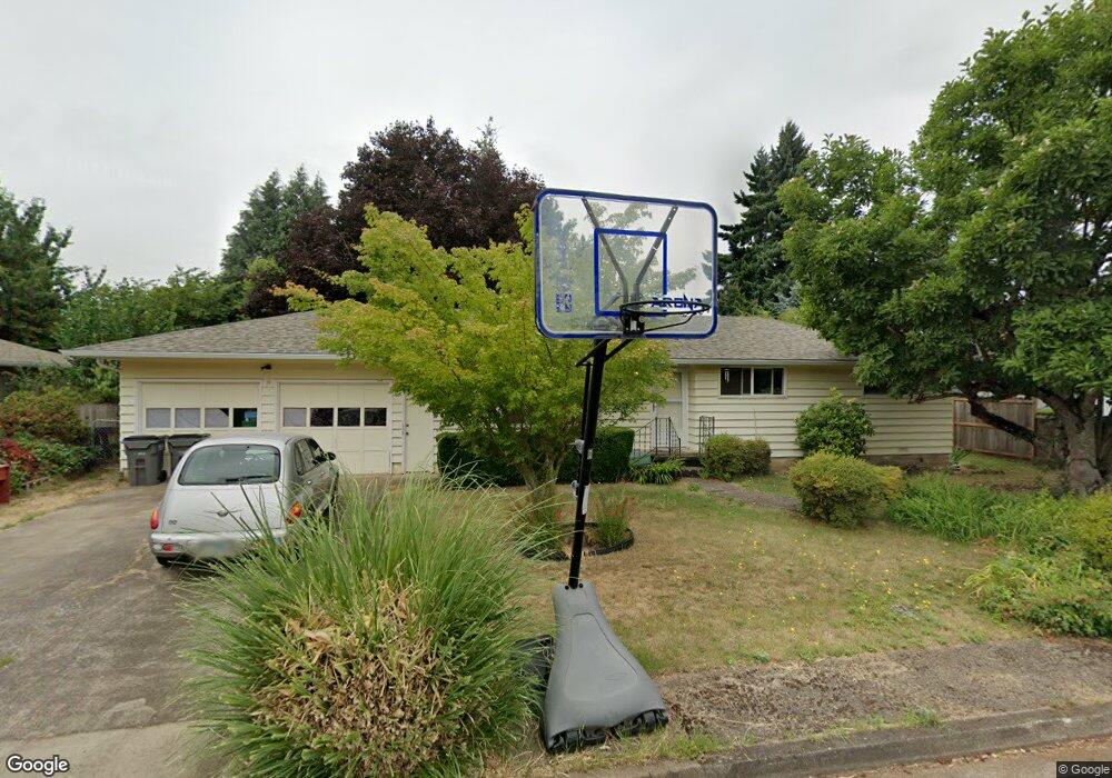
831 Greg Way Eugene, OR 97404
River Road NeighborhoodEstimated Value: $385,000 - $390,000
3
Beds
1
Bath
1,083
Sq Ft
$358/Sq Ft
Est. Value
About This Home
This home is located at 831 Greg Way, Eugene, OR 97404 and is currently estimated at $387,242, approximately $357 per square foot. 831 Greg Way is a home located in Lane County with nearby schools including Howard Elementary School, Kelly Middle School, and North Eugene High School.
Ownership History
Date
Name
Owned For
Owner Type
Purchase Details
Closed on
Aug 9, 2002
Sold by
Gladhart Amalia R and Hayes Sean W
Bought by
Scott Gregory A and Scott Mindy L
Current Estimated Value
Home Financials for this Owner
Home Financials are based on the most recent Mortgage that was taken out on this home.
Original Mortgage
$123,068
Outstanding Balance
$50,931
Interest Rate
6.51%
Mortgage Type
FHA
Estimated Equity
$336,311
Create a Home Valuation Report for This Property
The Home Valuation Report is an in-depth analysis detailing your home's value as well as a comparison with similar homes in the area
Home Values in the Area
Average Home Value in this Area
Purchase History
| Date | Buyer | Sale Price | Title Company |
|---|---|---|---|
| Scott Gregory A | $125,000 | Fidelity National Title Ins |
Source: Public Records
Mortgage History
| Date | Status | Borrower | Loan Amount |
|---|---|---|---|
| Open | Scott Gregory A | $123,068 |
Source: Public Records
Tax History
| Year | Tax Paid | Tax Assessment Tax Assessment Total Assessment is a certain percentage of the fair market value that is determined by local assessors to be the total taxable value of land and additions on the property. | Land | Improvement |
|---|---|---|---|---|
| 2025 | $3,085 | $188,984 | -- | -- |
| 2024 | $3,053 | $183,480 | -- | -- |
| 2023 | $3,053 | $178,136 | $0 | $0 |
| 2022 | $2,871 | $172,948 | $0 | $0 |
| 2021 | $2,667 | $167,911 | $0 | $0 |
| 2020 | $2,689 | $163,021 | $0 | $0 |
| 2019 | $2,594 | $158,273 | $0 | $0 |
| 2018 | $2,416 | $149,188 | $0 | $0 |
| 2017 | $2,319 | $149,188 | $0 | $0 |
| 2016 | $2,185 | $144,843 | $0 | $0 |
| 2015 | $2,105 | $140,624 | $0 | $0 |
| 2014 | $2,030 | $136,528 | $0 | $0 |
Source: Public Records
Map
Nearby Homes
- 1755 Brentwood Ave
- 541 Durham Ave
- 401 Sterling Dr
- 1682 Hemlock St
- 303 Lenore Loop
- 2563 York St
- 1566 Maywood Ave
- 2439 Quince St
- 1307 Bramblewood Ln
- 1880 Manihi Dr
- 193 Santa Clara Ave
- 805 Impala Ave
- 389 Maxwell Rd
- 2721 La Darrah St
- 215 Jonquil Ave
- 349 Irving Rd
- 200 Irving Rd
- 2488 Northampton
- 1487 Barton St
- 1483 Barton St
Your Personal Tour Guide
Ask me questions while you tour the home.