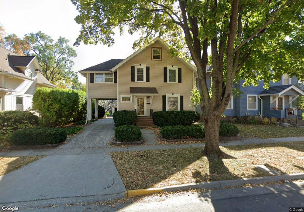
832 8th St Ames, IA 50010
Roosevelt NeighborhoodEstimated Value: $262,000 - $294,000
4
Beds
2
Baths
2,085
Sq Ft
$135/Sq Ft
Est. Value
About This Home
This home is located at 832 8th St, Ames, IA 50010 and is currently estimated at $280,868, approximately $134 per square foot. 832 8th St is a home located in Story County with nearby schools including Meeker Elementary School, Ames Middle School, and Ames High School.
Ownership History
Date
Name
Owned For
Owner Type
Purchase Details
Closed on
Jan 13, 2017
Sold by
Asay Tad and Asay Elizabeth J
Bought by
Hemken Andrew and Hemken Lauren
Current Estimated Value
Purchase Details
Closed on
Feb 8, 2011
Sold by
Asay Tad and Asay Elizabeth J
Bought by
Asay Tad and Asay Elizabeth J
Home Financials for this Owner
Home Financials are based on the most recent Mortgage that was taken out on this home.
Original Mortgage
$125,070
Interest Rate
4.89%
Mortgage Type
New Conventional
Purchase Details
Closed on
Jan 24, 2011
Sold by
Federal National Mortgage Association
Bought by
Asay Tad
Home Financials for this Owner
Home Financials are based on the most recent Mortgage that was taken out on this home.
Original Mortgage
$125,070
Interest Rate
4.89%
Mortgage Type
New Conventional
Create a Home Valuation Report for This Property
The Home Valuation Report is an in-depth analysis detailing your home's value as well as a comparison with similar homes in the area
Home Values in the Area
Average Home Value in this Area
Purchase History
| Date | Buyer | Sale Price | Title Company |
|---|---|---|---|
| Hemken Andrew | $187,500 | None Available | |
| Asay Tad | -- | -- | |
| Asay Tad | -- | None Available |
Source: Public Records
Mortgage History
| Date | Status | Borrower | Loan Amount |
|---|---|---|---|
| Previous Owner | Asay Tad | $125,070 |
Source: Public Records
Tax History
| Year | Tax Paid | Tax Assessment Tax Assessment Total Assessment is a certain percentage of the fair market value that is determined by local assessors to be the total taxable value of land and additions on the property. | Land | Improvement |
|---|---|---|---|---|
| 2025 | $3,006 | $269,600 | $36,900 | $232,700 |
| 2024 | $2,942 | $207,200 | $43,400 | $163,800 |
| 2023 | $2,920 | $207,200 | $43,400 | $163,800 |
| 2022 | $2,886 | $173,600 | $43,400 | $130,200 |
| 2021 | $3,008 | $173,600 | $43,400 | $130,200 |
| 2020 | $2,966 | $171,000 | $42,800 | $128,200 |
| 2019 | $2,966 | $171,000 | $42,800 | $128,200 |
| 2018 | $2,986 | $171,000 | $42,800 | $128,200 |
| 2017 | $2,986 | $171,000 | $42,800 | $128,200 |
| 2016 | $2,568 | $154,600 | $40,500 | $114,100 |
| 2015 | $2,568 | $154,600 | $40,500 | $114,100 |
| 2014 | $2,622 | $154,600 | $40,500 | $114,100 |
Source: Public Records
Map
Nearby Homes
- 822 7th St
- 715 Grand Ave
- 803 Grand Ave
- 809 Wilson Ave
- 1020 10th St
- 814 Wilson Ave
- 505 8th St
- 1105 Curtiss Ave
- 1003 Clark Ave
- 1104 Wilson Ave
- 1206 Curtiss Ave
- 1214 Northwestern Ave
- 1225 Marston Ave
- 1221 Curtiss Ave
- 611 Kellogg Ave
- 826 Duff Ave
- 1504 Burnett Ave
- 1002 Carroll Ave
- 713 Crawford Ave
- 1801 Coolidge Dr
Your Personal Tour Guide
Ask me questions while you tour the home.