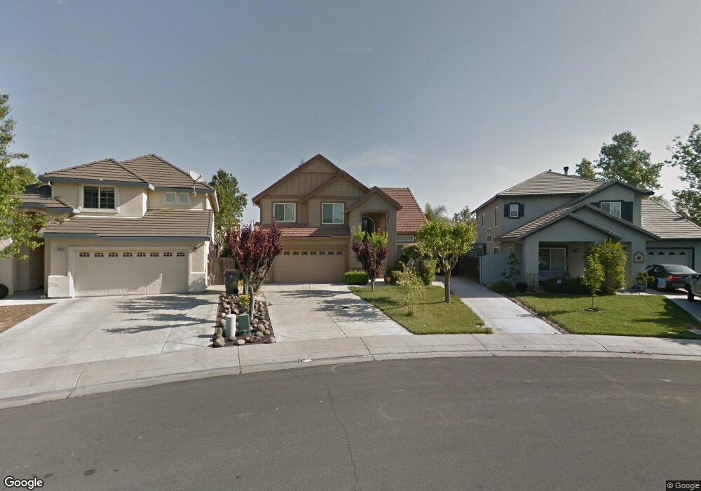
832 Atwell Cir Woodland, CA 95776
Estimated Value: $512,000 - $630,000
3
Beds
2
Baths
2,315
Sq Ft
$256/Sq Ft
Est. Value
About This Home
This home is located at 832 Atwell Cir, Woodland, CA 95776 and is currently estimated at $593,332, approximately $256 per square foot. 832 Atwell Cir is a home located in Yolo County with nearby schools including Ramon S. Tafoya Elementary School, Douglass Middle School, and Pioneer High School.
Ownership History
Date
Name
Owned For
Owner Type
Purchase Details
Closed on
Oct 15, 2024
Sold by
Adame Isaias C and Adame Maria Guadalupe
Bought by
Isaias C Adame And Maria G Adame 2024 Family and Adame
Current Estimated Value
Purchase Details
Closed on
Nov 9, 2002
Sold by
Snow David A and Snow Candis L
Bought by
Adame Isaias and Adame Maria Guadalupe
Home Financials for this Owner
Home Financials are based on the most recent Mortgage that was taken out on this home.
Original Mortgage
$54,000
Interest Rate
5.96%
Create a Home Valuation Report for This Property
The Home Valuation Report is an in-depth analysis detailing your home's value as well as a comparison with similar homes in the area
Home Values in the Area
Average Home Value in this Area
Purchase History
| Date | Buyer | Sale Price | Title Company |
|---|---|---|---|
| Isaias C Adame And Maria G Adame 2024 Family | -- | None Listed On Document | |
| Adame Isaias | $255,000 | First American Title |
Source: Public Records
Mortgage History
| Date | Status | Borrower | Loan Amount |
|---|---|---|---|
| Previous Owner | Adame Isaias | $54,000 |
Source: Public Records
Tax History Compared to Growth
Tax History
| Year | Tax Paid | Tax Assessment Tax Assessment Total Assessment is a certain percentage of the fair market value that is determined by local assessors to be the total taxable value of land and additions on the property. | Land | Improvement |
|---|---|---|---|---|
| 2025 | $4,452 | $369,155 | $94,130 | $275,025 |
| 2023 | $4,452 | $354,823 | $90,476 | $264,347 |
| 2022 | $4,705 | $347,866 | $88,702 | $259,164 |
| 2021 | $4,647 | $341,046 | $86,963 | $254,083 |
| 2020 | $4,594 | $337,550 | $86,072 | $251,478 |
| 2019 | $4,516 | $330,933 | $84,385 | $246,548 |
| 2018 | $4,474 | $324,445 | $82,731 | $241,714 |
| 2017 | $4,390 | $318,084 | $81,109 | $236,975 |
| 2016 | $4,320 | $311,848 | $79,519 | $232,329 |
| 2015 | $4,203 | $307,165 | $78,325 | $228,840 |
| 2014 | $4,203 | $301,149 | $76,791 | $224,358 |
Source: Public Records
Map
Nearby Homes
- 1808 Farnham Ave
- 1729 Lee Dr
- 1745 Lee Dr
- 1840 E Gum Ave
- 737 Farnham Ave
- 1060 Powers Cir
- 1967 Hawkins Ct
- 1455 Willow Springs Dr
- 541 Edwards Cir
- 1988 Hackett Dr
- 618 Crystal Ct
- 1414 St Louis Way
- 976 Huston Cir
- 1422 St Louis Way
- 925 Stetson St
- Residence 1709 Plan at Ruby Cottages
- Residence 2117 Plan at Ruby Cottages
- Residence 1943 Plan at Ruby Cottages
- 2001 Baker Place
- 1418 van Zee Dr
- 830 Atwell Cir
- 834 Atwell Cir
- 1726 Merritt Cir
- 828 Atwell Cir
- 836 Atwell Cir
- 1722 Merritt Cir
- 826 Atwell Cir
- 837 Atwell Cir
- 838 Atwell Cir
- 1718 Merritt Cir
- 1718 Merritt Cir
- 0 Atwell Cir
- 824 Atwell Cir
- 1714 Merritt Cir
- 840 Atwell Cir
- 839 Atwell Cir
- 817 Atwell Cir
- 798 Merritt Cir
- 1710 Merritt Cir
- 842 Atwell Cir