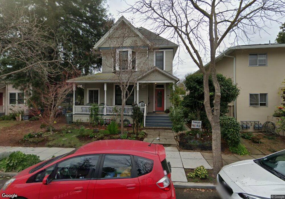
832 Kipling St Palo Alto, CA 94301
University South NeighborhoodEstimated Value: $3,481,000 - $4,947,000
4
Beds
4
Baths
2,185
Sq Ft
$1,882/Sq Ft
Est. Value
About This Home
This home is located at 832 Kipling St, Palo Alto, CA 94301 and is currently estimated at $4,113,153, approximately $1,882 per square foot. 832 Kipling St is a home located in Santa Clara County with nearby schools including Addison Elementary School, Frank S. Greene Jr. Middle, and Palo Alto High School.
Ownership History
Date
Name
Owned For
Owner Type
Purchase Details
Closed on
Jul 15, 2024
Sold by
William B Cane Revocable Trust and Cane Sarah Z
Bought by
Cane Helen Josephine
Current Estimated Value
Purchase Details
Closed on
Nov 5, 2019
Sold by
Cane William B
Bought by
Cane William B and William B Cane Revocable Trust
Purchase Details
Closed on
Dec 10, 2018
Sold by
Cane William B and Cane Sarah Z
Bought by
Cane William B and Cane Sarah Z
Purchase Details
Closed on
Sep 19, 1995
Sold by
Shaw Zachary and Shaw Stephen J
Bought by
Cane William B and Maffitt Sarah Z
Home Financials for this Owner
Home Financials are based on the most recent Mortgage that was taken out on this home.
Original Mortgage
$314,300
Interest Rate
7.88%
Create a Home Valuation Report for This Property
The Home Valuation Report is an in-depth analysis detailing your home's value as well as a comparison with similar homes in the area
Home Values in the Area
Average Home Value in this Area
Purchase History
| Date | Buyer | Sale Price | Title Company |
|---|---|---|---|
| Cane Helen Josephine | -- | None Listed On Document | |
| Cane William B | -- | None Available | |
| Cane William B | -- | None Available | |
| Cane William B | $449,000 | Old Republic Title Company |
Source: Public Records
Mortgage History
| Date | Status | Borrower | Loan Amount |
|---|---|---|---|
| Previous Owner | Cane William B | $314,300 |
Source: Public Records
Tax History Compared to Growth
Tax History
| Year | Tax Paid | Tax Assessment Tax Assessment Total Assessment is a certain percentage of the fair market value that is determined by local assessors to be the total taxable value of land and additions on the property. | Land | Improvement |
|---|---|---|---|---|
| 2025 | $9,722 | $794,984 | $528,386 | $266,598 |
| 2024 | $9,722 | $748,168 | $488,600 | $259,568 |
| 2023 | $9,575 | $733,499 | $479,020 | $254,479 |
| 2022 | $9,456 | $719,118 | $469,628 | $249,490 |
| 2021 | $9,267 | $705,019 | $460,420 | $244,599 |
| 2020 | $9,088 | $697,790 | $455,699 | $242,091 |
| 2019 | $8,982 | $684,109 | $446,764 | $237,345 |
| 2018 | $8,749 | $670,696 | $438,004 | $232,692 |
| 2017 | $8,593 | $657,546 | $429,416 | $228,130 |
| 2016 | $8,363 | $644,654 | $420,997 | $223,657 |
| 2015 | $8,274 | $634,972 | $414,674 | $220,298 |
| 2014 | $8,035 | $622,535 | $406,552 | $215,983 |
Source: Public Records
Map
Nearby Homes
- 447 Homer Ave
- 756 Waverley St
- 759 Cowper St
- 315 Homer Ave Unit 309
- 315 Homer Ave Unit 105
- 770 Bryant St
- 1027 Waverley St
- 326 Addison Ave
- 536 Addison Ave
- 560 Addison Ave
- 707 Webster St
- 637 Channing Ave
- 535 Kingsley Ave
- 755 Homer Ave
- 671 Kingsley Ave
- 1218 Middlefield Rd
- 102 University Ave Unit 3A 3B 3C
- 148 Kingsley Ave
- 1033 Guinda St
- 70 Encina Ave