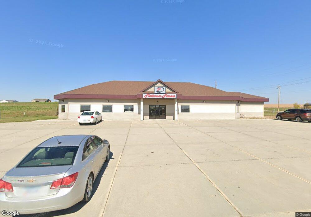
833 N Griffith Rd Carroll, IA 51401
Estimated Value: $455,474
--
Bed
--
Bath
4,919
Sq Ft
$93/Sq Ft
Est. Value
About This Home
This home is located at 833 N Griffith Rd, Carroll, IA 51401 and is currently estimated at $455,474, approximately $92 per square foot. 833 N Griffith Rd is a home located in Carroll County with nearby schools including Fairview Elementary School, Adams Elementary School, and Carroll Middle School.
Ownership History
Date
Name
Owned For
Owner Type
Purchase Details
Closed on
May 21, 2013
Sold by
Lampe Joseph R and Lampe Lisa
Bought by
Lampe Joseph R and Lampe Lisa
Current Estimated Value
Purchase Details
Closed on
Feb 25, 2013
Sold by
Ace Builders Ltd
Bought by
Lampe Joseph R and Lampe Lisa
Home Financials for this Owner
Home Financials are based on the most recent Mortgage that was taken out on this home.
Original Mortgage
$240,000
Outstanding Balance
$168,977
Interest Rate
3.49%
Mortgage Type
New Conventional
Estimated Equity
$286,497
Create a Home Valuation Report for This Property
The Home Valuation Report is an in-depth analysis detailing your home's value as well as a comparison with similar homes in the area
Home Values in the Area
Average Home Value in this Area
Purchase History
| Date | Buyer | Sale Price | Title Company |
|---|---|---|---|
| Lampe Joseph R | -- | None Available | |
| Lampe Joseph R | $207,500 | None Available |
Source: Public Records
Mortgage History
| Date | Status | Borrower | Loan Amount |
|---|---|---|---|
| Open | Lampe Joseph R | $240,000 |
Source: Public Records
Tax History Compared to Growth
Tax History
| Year | Tax Paid | Tax Assessment Tax Assessment Total Assessment is a certain percentage of the fair market value that is determined by local assessors to be the total taxable value of land and additions on the property. | Land | Improvement |
|---|---|---|---|---|
| 2025 | $9,686 | $509,090 | $75,040 | $434,050 |
| 2024 | $9,674 | $460,250 | $75,040 | $385,210 |
| 2023 | $9,163 | $460,250 | $75,040 | $385,210 |
| 2022 | $8,218 | $423,470 | $75,040 | $348,430 |
| 2021 | $8,218 | $423,470 | $75,040 | $348,430 |
| 2020 | $10,370 | $428,820 | $75,040 | $353,780 |
| 2019 | $10,272 | $428,820 | $75,040 | $353,780 |
| 2018 | $9,898 | $428,820 | $75,040 | $353,780 |
| 2017 | $7,118 | $427,062 | $81,794 | $345,268 |
| 2016 | $6,812 | $391,800 | $0 | $0 |
| 2015 | $6,812 | $223,270 | $0 | $0 |
| 2014 | $3,502 | $196,060 | $0 | $0 |
Source: Public Records
Map
Nearby Homes
- 01 Bella Vista Dr
- 0 Northridge Dr Unit 6151180
- 1505 E 10th St
- 1409 E 10th St
- 1407 E 10th St
- 1401 E 11th St
- 1399 E 11th St
- 0 Monterey Dr Unit 6307161
- 0 Monterey Dr Unit 6137563
- 1068 Amy Ave
- 1059 Amy Ave
- 1137 High Ridge Rd
- 1550 Edgewood Dr
- 641 Alta Vista Dr
- 638 Capistrano Ave
- 746 Granada Rd
- 1026 N Clark St
- 1546 Olive St
- 804 N Clark St
- 926 N Court St
- 833 N Griffith Rd
- 833 N Griffith Rd
- 831 N Griffith Rd
- 829 N Griffith Rd
- 829 W Griffith Rd
- 829 W Griffith Rd
- 1001 Northridge Dr
- 826-8 Bella Vista Dr
- 826 Bella Vista Dr
- 1527 Woodland Dr
- 1012 Roman Rd
- 1024 Roman Rd
- 1006 Northridge Dr
- 1030 Roman Rd
- 0 Northridge Dr
- 1016 Northridge Dr
- 0 Plaza Dr
- 1008 Bella Vista Dr
- 1537 E 10th St
- 1422 Woodland Dr