833 Vee St Biloxi, MS 39532
Estimated Value: $79,000 - $153,000
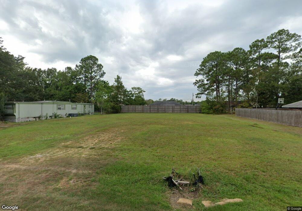
About This Home
This home is located at 833 Vee St, Biloxi, MS 39532 and is currently estimated at $122,333. 833 Vee St is a home located in Harrison County with nearby schools including North Bay Elementary School, Biloxi Junior High School, and Biloxi High School.
Ownership History
We collect this data history from publicly available records. To have your information removed, we recommend requesting removal directly through your county’s website.
Purchase Details
Purchase Details
Purchase Details
Purchase Details
Purchase Details
Home Values in the Area
Average Home Value in this Area
Purchase History
We collect this data history from publicly available records. To have your information removed, we recommend requesting removal directly through your county’s website.
| Date | Buyer | Sale Price | Title Company |
|---|---|---|---|
| -- | None Listed On Document | ||
| -- | None Listed On Document | ||
| -- | None Listed On Document | ||
| -- | None Available | ||
| -- | None Available | ||
| -- | -- |
Tax History
We collect this data history from publicly available records. To have your information removed, we recommend requesting removal directly through your county’s website.
| Year | Tax Paid | Tax Assessment Tax Assessment Total Assessment is a certain percentage of the fair market value that is determined by local assessors to be the total taxable value of land and additions on the property. | Land | Improvement |
|---|---|---|---|---|
| 2025 | $329 | $2,940 | $0 | $0 |
| 2024 | $326 | $2,940 | $0 | $0 |
| 2023 | $323 | $2,940 | $0 | $0 |
| 2022 | $323 | $2,940 | $0 | $0 |
| 2021 | $323 | $2,940 | $0 | $0 |
| 2020 | $323 | $2,940 | $0 | $0 |
| 2019 | $323 | $2,940 | $0 | $0 |
| 2018 | $323 | $2,940 | $0 | $0 |
| 2017 | $323 | $2,940 | $0 | $0 |
| 2015 | $323 | $2,940 | $0 | $0 |
| 2014 | -- | $4,900 | $0 | $0 |
| 2013 | -- | $2,940 | $2,940 | $0 |
Map
- 0 Popps Ferry Rd Unit 4138386
- 0 Popps Ferry Rd Unit 4108141
- 0 Popps Ferry Rd Unit 4108136
- 835 Lakewood Place
- 0 Jam Ln
- 2071 Stone Bridge Dr
- 757 Highland Dr
- 796 Sharon Hills Dr
- 851 Rustwood Dr
- 2124 Baywood Dr
- 1990 Brasher Rd
- 2033 S Hill Dr
- 734 Canterbury Dr
- 694 Water's View Dr
- 726 Live Oak Dr
- 615 N Haven Dr
- 1931 Bayside Dr
- 1867 Brasher Rd
- 2215 Popps Ferry Rd
- 2022 Lantana Cove
Ask me questions while you tour the home.