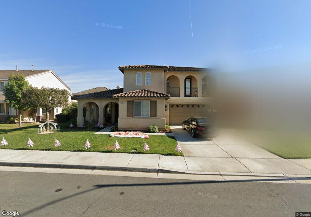
8348 Fiske Dr Corona, CA 92880
Estimated Value: $1,059,000 - $1,114,000
5
Beds
3
Baths
3,420
Sq Ft
$317/Sq Ft
Est. Value
About This Home
This home is located at 8348 Fiske Dr, Corona, CA 92880 and is currently estimated at $1,085,255, approximately $317 per square foot. 8348 Fiske Dr is a home located in Riverside County with nearby schools including Ronald Reagan Elementary, Dr. Augustine Ramirez Intermediate School, and Eleanor Roosevelt High School.
Ownership History
Date
Name
Owned For
Owner Type
Purchase Details
Closed on
Mar 31, 2023
Sold by
Chaidez Blanca Estela
Bought by
Chaidez Blanca Estela and Correa Nubia
Current Estimated Value
Purchase Details
Closed on
Sep 30, 2010
Sold by
Standard Pacific Corp
Bought by
Chaidez Hector and Chaidez Blanca Estela
Home Financials for this Owner
Home Financials are based on the most recent Mortgage that was taken out on this home.
Original Mortgage
$477,344
Interest Rate
3.87%
Mortgage Type
FHA
Create a Home Valuation Report for This Property
The Home Valuation Report is an in-depth analysis detailing your home's value as well as a comparison with similar homes in the area
Home Values in the Area
Average Home Value in this Area
Purchase History
| Date | Buyer | Sale Price | Title Company |
|---|---|---|---|
| Chaidez Blanca Estela | -- | -- | |
| Chaidez Hector | $484,000 | First American Title Ins Co |
Source: Public Records
Mortgage History
| Date | Status | Borrower | Loan Amount |
|---|---|---|---|
| Previous Owner | Chaidez Hector | $477,344 |
Source: Public Records
Tax History Compared to Growth
Tax History
| Year | Tax Paid | Tax Assessment Tax Assessment Total Assessment is a certain percentage of the fair market value that is determined by local assessors to be the total taxable value of land and additions on the property. | Land | Improvement |
|---|---|---|---|---|
| 2025 | $10,557 | $659,856 | $141,020 | $518,836 |
| 2023 | $10,557 | $634,235 | $135,545 | $498,690 |
| 2022 | $10,281 | $621,800 | $132,888 | $488,912 |
| 2021 | $9,748 | $578,138 | $130,283 | $447,855 |
| 2020 | $9,631 | $572,211 | $128,948 | $443,263 |
| 2019 | $9,448 | $560,992 | $126,420 | $434,572 |
| 2018 | $9,287 | $549,993 | $123,943 | $426,050 |
| 2017 | $9,088 | $539,210 | $121,513 | $417,697 |
| 2016 | $8,978 | $528,638 | $119,131 | $409,507 |
| 2015 | $8,828 | $520,699 | $117,343 | $403,356 |
| 2014 | $8,702 | $510,501 | $115,046 | $395,455 |
Source: Public Records
Map
Nearby Homes
- 8312 Grapewin St
- 8224 Fieldstream Ct
- 8252 Ivy Springs Ct
- 8330 Archibald Ave
- 14253 Wolfhound St
- 8229 Honey Brook Ct
- 14145 Prairie Creek Place
- 7871 Slate Creek Rd
- 13879 Dearborn St
- 7848 Orchid Dr
- 7915 Saddletree Ct
- 14105 Almond Grove Ct
- 7846 Hall Ave
- 7882 Shoreham St
- 14871 Henry St
- 4047 Bluff St
- 2943 Half Moon Ct
- 14985 Shoreham St
- 2888 Corydon Ave
- 3527 Bluff St
- 8340 Fiske Dr
- 8364 Fiske Dr
- 14252 Rolling Stream Place
- 8332 Fiske Dr
- 8351 Fiske Dr
- 14236 Rolling Stream Place
- 8343 Fiske Dr
- 8359 Fiske Dr
- 8324 Fiske Dr
- 8327 Fiske Dr
- 8367 Fiske Dr
- 14241 Shady Creek Cir
- 14271 Rolling Stream Place
- 14263 Rolling Stream Place
- 14228 Rolling Stream Place
- 14279 Rolling Stream Place
- 8326 Dew Drop Ct
- 14238 Shady Creek Cir
- 8334 Dew Drop Ct
- 8318 Dew Drop Ct