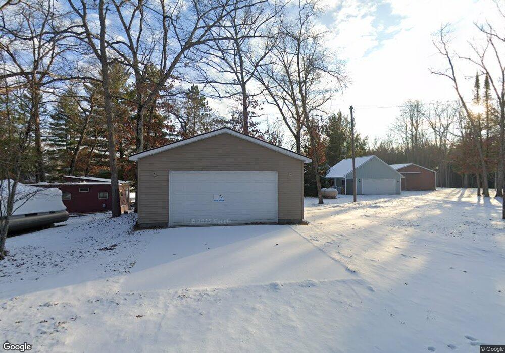
8355 Cedar Rd South Branch, MI 48761
Estimated Value: $181,323 - $243,000
--
Bed
--
Bath
480
Sq Ft
$457/Sq Ft
Est. Value
About This Home
This home is located at 8355 Cedar Rd, South Branch, MI 48761 and is currently estimated at $219,581, approximately $457 per square foot. 8355 Cedar Rd is a home with nearby schools including Hale Elementary/Middle School and Hale High School.
Ownership History
Date
Name
Owned For
Owner Type
Purchase Details
Closed on
Dec 5, 2022
Sold by
Ramsey Jessica L and Ramsey Michael John
Bought by
Ramsey Michael John
Current Estimated Value
Purchase Details
Closed on
Jun 19, 2013
Sold by
Ramsey Michael J and Tomilenko Jill T
Bought by
Ramsey Michael J
Home Financials for this Owner
Home Financials are based on the most recent Mortgage that was taken out on this home.
Original Mortgage
$27,000
Interest Rate
3.83%
Purchase Details
Closed on
Sep 26, 2007
Sold by
Ramsey Thomas M
Bought by
Ramsey Thomas M and Ramsey Michael J
Create a Home Valuation Report for This Property
The Home Valuation Report is an in-depth analysis detailing your home's value as well as a comparison with similar homes in the area
Home Values in the Area
Average Home Value in this Area
Purchase History
| Date | Buyer | Sale Price | Title Company |
|---|---|---|---|
| Ramsey Michael John | -- | -- | |
| Ramsey Michael J | -- | -- | |
| Ramsey Thomas M | -- | -- |
Source: Public Records
Mortgage History
| Date | Status | Borrower | Loan Amount |
|---|---|---|---|
| Previous Owner | Ramsey Michael J | $27,000 |
Source: Public Records
Tax History Compared to Growth
Tax History
| Year | Tax Paid | Tax Assessment Tax Assessment Total Assessment is a certain percentage of the fair market value that is determined by local assessors to be the total taxable value of land and additions on the property. | Land | Improvement |
|---|---|---|---|---|
| 2025 | $930 | $91,100 | $91,100 | $0 |
| 2024 | $973 | $68,700 | $0 | $0 |
| 2023 | $428 | $53,900 | $53,900 | $0 |
| 2022 | $1,635 | $51,500 | $51,500 | $0 |
| 2021 | $1,616 | $45,400 | $45,400 | $0 |
| 2020 | $1,652 | $42,500 | $42,500 | $0 |
| 2019 | $1,580 | $38,500 | $38,500 | $0 |
| 2018 | $1,105 | $25,500 | $25,500 | $0 |
| 2017 | $1,057 | $25,400 | $25,400 | $0 |
| 2016 | $1,034 | $25,400 | $0 | $0 |
| 2015 | -- | $25,300 | $0 | $0 |
| 2014 | -- | $25,100 | $0 | $0 |
| 2013 | -- | $25,100 | $0 | $0 |
Source: Public Records
Map
Nearby Homes
- 7351 Chain Lake Dr
- lot 12 Paradise Dr
- 8200 Chain Lake Rd
- lOT 6 Jose Lake Dr
- 7796 Jose Lake Dr
- 4790 Goodar Rd
- 7357 Shoreward Trail
- 7222 Blue Ox Trail
- 5840 W Michaud Rd
- 5792 Greve Rd
- 7116 Wickert Rd
- 5500 NE County Line Rd
- 6924 Leslie
- 6152 Evergreen Dr
- 6548 Belfry Trail
- 6160 Rollways Rd
- 4998 N Main St
- 188 Campbell St
- 5020 N Main St
- 8446 Bamfield Rd