836 N 1917th Rd Lecompton, KS 66050
Scenic Riverway NeighborhoodEstimated Value: $1,106,000 - $1,331,071
4
Beds
4
Baths
4,771
Sq Ft
$255/Sq Ft
Est. Value
About This Home
This home is located at 836 N 1917th Rd, Lecompton, KS 66050 and is currently estimated at $1,218,536, approximately $255 per square foot. 836 N 1917th Rd is a home located in Douglas County with nearby schools including Lecompton Elementary School, Perry-Lecompton Middle School, and Perry-Lecompton High School.
Ownership History
Date
Name
Owned For
Owner Type
Purchase Details
Closed on
Sep 16, 2021
Sold by
Nightingale Brent J
Bought by
Nightingale Brent J and Nightingale Jana D
Current Estimated Value
Purchase Details
Closed on
Aug 10, 2017
Sold by
The Hubertt H Hall Family Trust
Bought by
Nightingale Brent J
Home Financials for this Owner
Home Financials are based on the most recent Mortgage that was taken out on this home.
Original Mortgage
$450,000
Interest Rate
3.92%
Mortgage Type
New Conventional
Purchase Details
Closed on
May 26, 2006
Sold by
Hall Hubert H and Hall Kathleen M
Bought by
Hall Hubert H
Create a Home Valuation Report for This Property
The Home Valuation Report is an in-depth analysis detailing your home's value as well as a comparison with similar homes in the area
Home Values in the Area
Average Home Value in this Area
Purchase History
| Date | Buyer | Sale Price | Title Company |
|---|---|---|---|
| Nightingale Brent J | -- | None Listed On Document | |
| Nightingale Brent J | -- | Kansas Secured Title | |
| Hall Hubert H | -- | None Available |
Source: Public Records
Mortgage History
| Date | Status | Borrower | Loan Amount |
|---|---|---|---|
| Previous Owner | Nightingale Brent J | $450,000 |
Source: Public Records
Tax History
| Year | Tax Paid | Tax Assessment Tax Assessment Total Assessment is a certain percentage of the fair market value that is determined by local assessors to be the total taxable value of land and additions on the property. | Land | Improvement |
|---|---|---|---|---|
| 2025 | $16,045 | $137,646 | $26,703 | $110,943 |
| 2024 | $14,687 | $126,321 | $26,128 | $100,193 |
| 2023 | $13,459 | $112,700 | $24,978 | $87,722 |
| 2022 | $13,666 | $110,582 | $25,473 | $85,109 |
| 2021 | $11,745 | $91,462 | $22,082 | $69,380 |
| 2020 | $9,914 | $78,487 | $22,082 | $56,405 |
| 2019 | $9,427 | $74,750 | $12,928 | $61,822 |
| 2018 | $9,452 | $74,750 | $12,848 | $61,902 |
| 2017 | $9,209 | $72,456 | $3,597 | $68,859 |
| 2016 | $8,941 | $71,489 | $4,406 | $67,083 |
| 2015 | $4,332 | $70,519 | $4,373 | $66,146 |
| 2014 | $4,318 | $70,483 | $4,337 | $66,146 |
Source: Public Records
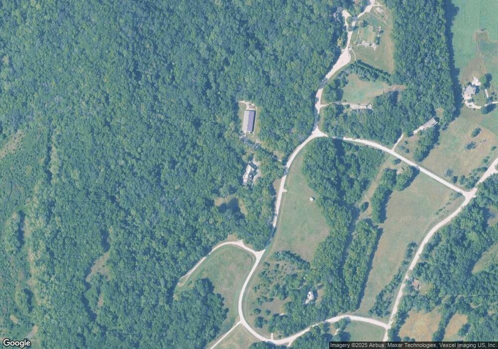
Map
Nearby Homes
- 1937 E 850 Rd
- 1770 E 960 Rd
- 0000 N 1851 Diag Rd
- 663 N 1851 Diag Rd
- 611 Jones St
- 6800 Lakeview Rd
- 0000 E 600 Rd
- 323 N Eaton Dr
- 1003 2nd St
- 5616 Maggie Way
- Lot 2 N Running Ridge Rd
- 5901 Maggie Way
- 5117 Parker Ct
- 205 Campbell Ct
- 5237 Carson Dr
- 237 Landon Ct
- 00000 Vacant - Phillips Rd
- 5245 Overland Dr Unit C9
- 5245 Overland Dr Unit B25
- 5800 Johnson Dr
- 1920 E 845 Rd
- 1910 E 845 Rd Unit S
- 1920 E 845 Rd Unit N
- 0000 N 1917 Rd
- 000 N 1917 Rd
- 846 N 1909 Rd
- 846 N 1909th Rd
- 1932 E 845th Rd
- 1945 E 845th Rd
- 848 N 1925th Rd
- 1914 E 850th Rd
- 845 N 1909th Rd
- 847 N 1909th Rd
- 849 N 1909th Rd
- 1935 E 850th Rd
- 1902 E 850th Rd
- 1924 E 850th Rd
- 1940 E 850th Rd
- 882 N 1886 Rd
- 882 N 1886th Rd
Your Personal Tour Guide
Ask me questions while you tour the home.