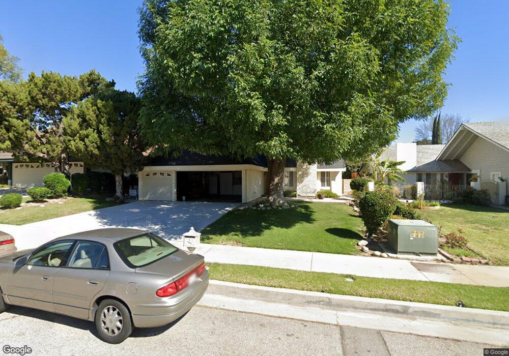
8364 Kentland Ave Canoga Park, CA 91304
Canoga Park NeighborhoodEstimated Value: $1,081,624 - $1,167,000
4
Beds
2
Baths
1,967
Sq Ft
$575/Sq Ft
Est. Value
About This Home
This home is located at 8364 Kentland Ave, Canoga Park, CA 91304 and is currently estimated at $1,131,656, approximately $575 per square foot. 8364 Kentland Ave is a home located in Los Angeles County with nearby schools including Nevada Avenue Elementary School, Christopher Columbus Middle School, and Ernest Lawrence Middle School.
Ownership History
Date
Name
Owned For
Owner Type
Purchase Details
Closed on
Jan 13, 2025
Sold by
Mcandrew 2004 Family Trust and Mcandrew Helen P
Bought by
Mcandrew 2004 Family Trust and Mcandrew
Current Estimated Value
Purchase Details
Closed on
Apr 15, 2004
Sold by
Mcandrew Frank and Mcandrew Patricia H
Bought by
Mcandrew Helen P and Mcandrew 2004 Family Trust
Create a Home Valuation Report for This Property
The Home Valuation Report is an in-depth analysis detailing your home's value as well as a comparison with similar homes in the area
Home Values in the Area
Average Home Value in this Area
Purchase History
| Date | Buyer | Sale Price | Title Company |
|---|---|---|---|
| Mcandrew 2004 Family Trust | -- | None Listed On Document | |
| Mcandrew Helen P | -- | -- |
Source: Public Records
Mortgage History
| Date | Status | Borrower | Loan Amount |
|---|---|---|---|
| Closed | Mcandrew 2004 Family Trust | $0 |
Source: Public Records
Tax History Compared to Growth
Tax History
| Year | Tax Paid | Tax Assessment Tax Assessment Total Assessment is a certain percentage of the fair market value that is determined by local assessors to be the total taxable value of land and additions on the property. | Land | Improvement |
|---|---|---|---|---|
| 2025 | $1,566 | $104,130 | $26,933 | $77,197 |
| 2024 | $1,566 | $102,089 | $26,405 | $75,684 |
| 2023 | $1,542 | $100,088 | $25,888 | $74,200 |
| 2022 | $1,481 | $98,127 | $25,381 | $72,746 |
| 2021 | $1,453 | $96,204 | $24,884 | $71,320 |
| 2019 | $1,415 | $93,352 | $24,147 | $69,205 |
| 2018 | $1,303 | $91,523 | $23,674 | $67,849 |
| 2016 | $1,224 | $87,970 | $22,755 | $65,215 |
| 2015 | $1,209 | $86,650 | $22,414 | $64,236 |
| 2014 | $1,222 | $84,953 | $21,975 | $62,978 |
Source: Public Records
Map
Nearby Homes
- 8510 Capistrano Ave
- 22345 Cantara St
- 8208 Fallbrook Ave
- 8225 Fallbrook Ave
- 22700 Baltar St
- 7957 Sausalito Ave
- 22824 W Olive Way
- 8515 Eatough Place
- 8565 N Walnut Way
- 22115 Hackney St
- 22906 Lanark St
- 22128 Burton St
- 7845 Sausalito Ave
- 7831 Capistrano Ave
- 8108 Royer Ave
- 7816 Shoup Ave
- 22022 Malden St
- 8788 Moorcroft Ave
- 7925 Royer Ave
- 7749 Nita Ave
- 8370 Kentland Ave
- 8360 Kentland Ave
- 8376 Kentland Ave
- 8356 Kentland Ave
- 8365 Capistrano Ave
- 8359 Capistrano Ave
- 8371 Capistrano Ave
- 8367 Kentland Ave
- 8380 Kentland Ave
- 8350 Kentland Ave
- 8363 Kentland Ave
- 8371 Kentland Ave
- 8353 Capistrano Ave
- 8377 Capistrano Ave
- 8357 Kentland Ave
- 8377 Kentland Ave
- 8346 Kentland Ave
- 8386 Kentland Ave
- 8345 Capistrano Ave
- 8383 Kentland Ave