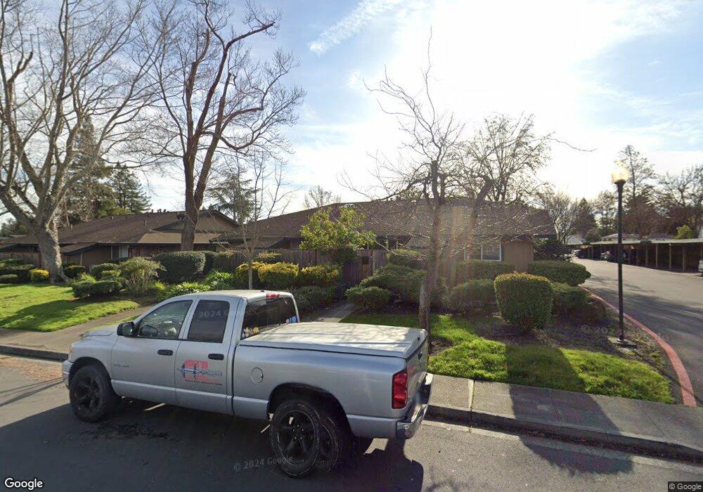
8379 Lasalle Ave Unit 67 Cotati, CA 94931
Estimated Value: $372,000 - $395,000
2
Beds
1
Bath
920
Sq Ft
$417/Sq Ft
Est. Value
About This Home
This home is located at 8379 Lasalle Ave Unit 67, Cotati, CA 94931 and is currently estimated at $384,037, approximately $417 per square foot. 8379 Lasalle Ave Unit 67 is a home located in Sonoma County with nearby schools including Rancho Cotate High School, Cross & Crown Lutheran School, and Bridghaven.
Ownership History
Date
Name
Owned For
Owner Type
Purchase Details
Closed on
Aug 25, 1997
Sold by
Schloner Carol Susan and Schloner Carol S
Bought by
Dettling Tamera L
Current Estimated Value
Home Financials for this Owner
Home Financials are based on the most recent Mortgage that was taken out on this home.
Original Mortgage
$63,000
Outstanding Balance
$9,729
Interest Rate
7.43%
Estimated Equity
$374,308
Create a Home Valuation Report for This Property
The Home Valuation Report is an in-depth analysis detailing your home's value as well as a comparison with similar homes in the area
Home Values in the Area
Average Home Value in this Area
Purchase History
| Date | Buyer | Sale Price | Title Company |
|---|---|---|---|
| Dettling Tamera L | $84,000 | Chicago Title Co |
Source: Public Records
Mortgage History
| Date | Status | Borrower | Loan Amount |
|---|---|---|---|
| Open | Dettling Tamera L | $63,000 | |
| Closed | Dettling Tamera L | $20,000 |
Source: Public Records
Tax History
| Year | Tax Paid | Tax Assessment Tax Assessment Total Assessment is a certain percentage of the fair market value that is determined by local assessors to be the total taxable value of land and additions on the property. | Land | Improvement |
|---|---|---|---|---|
| 2025 | $1,865 | $134,096 | $47,887 | $86,209 |
| 2024 | $1,865 | $131,468 | $46,949 | $84,519 |
| 2023 | $1,865 | $128,891 | $46,029 | $82,862 |
| 2022 | $1,814 | $126,365 | $45,127 | $81,238 |
| 2021 | $1,793 | $123,889 | $44,243 | $79,646 |
| 2020 | $1,803 | $122,620 | $43,790 | $78,830 |
| 2019 | $1,781 | $120,217 | $42,932 | $77,285 |
| 2018 | $1,492 | $117,861 | $42,091 | $75,770 |
| 2017 | $1,468 | $115,551 | $41,266 | $74,285 |
| 2016 | $1,402 | $113,286 | $40,457 | $72,829 |
| 2015 | $1,369 | $111,586 | $39,850 | $71,736 |
| 2014 | $1,359 | $109,401 | $39,070 | $70,331 |
Source: Public Records
Map
Nearby Homes
- 8383 Lasalle Ave Unit 66
- 293 Lincoln Ave
- 8432 Lasalle Ave
- 8 Bay Tree Ct
- 7799 Blair Ave
- 8175 Arthur St
- 850 E Cotati Ave Unit 11
- 7866 Burton Ave
- 105 Falcon Dr
- 8020 Beverly Dr
- 8633 Lancaster Dr
- 6698 Santero Way
- 95 Jagla St
- 8312 Windmill Farms Dr
- 8873 Lebec Ln
- 79 William St Unit S
- 7773 Bonita Ave
- 8356 Windmill Farms Dr
- 1216 Mateo Dr
- 1217 Mateo Dr
- 355 Lincoln Ave
- 8377 Lasalle Ave
- 351 Lincoln Ave Unit 69
- 361 Lincoln Ave Unit 65
- 8385 Lasalle Ave
- 365 Lincoln Ave
- 333 Lincoln Ave
- 337 Lincoln Ave
- 343 Lincoln Ave
- 331 Lincoln Ave
- 335 Lincoln Ave
- 8317 Lasalle Ave
- 347 Lincoln Ave
- 341 Lincoln Ave
- 8301 Lasalle Ave
- 345 Lincoln Ave
- 317 Lincoln Ave
- 313 Lincoln Ave
- 0 Lesalle Ave
- 8314 and 8315 Lesalle
Your Personal Tour Guide
Ask me questions while you tour the home.