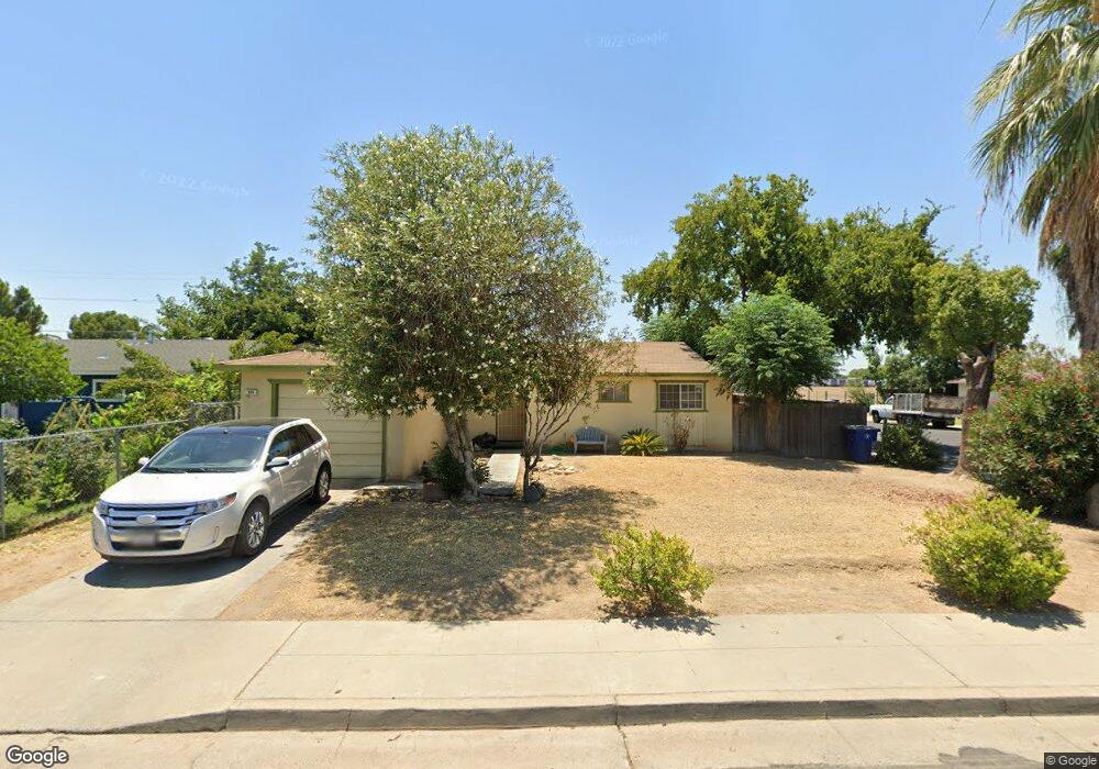
838 Brookside Dr Clovis, CA 93612
Estimated Value: $322,000 - $373,000
3
Beds
2
Baths
1,104
Sq Ft
$311/Sq Ft
Est. Value
About This Home
This home is located at 838 Brookside Dr, Clovis, CA 93612 and is currently estimated at $343,555, approximately $311 per square foot. 838 Brookside Dr is a home located in Fresno County with nearby schools including Clovis Elementary School, Clark Intermediate School, and Clovis High School.
Ownership History
Date
Name
Owned For
Owner Type
Purchase Details
Closed on
Dec 10, 2013
Sold by
Rivera Raymundo M
Bought by
Rivera Raymundo M
Current Estimated Value
Purchase Details
Closed on
Mar 18, 2004
Sold by
Boronka John and Boronka Julie
Bought by
Rivera Raymundo M and Rivera Linda
Purchase Details
Closed on
Nov 17, 2003
Sold by
Orosco Rita
Bought by
Boronka John and Boronka Julie
Create a Home Valuation Report for This Property
The Home Valuation Report is an in-depth analysis detailing your home's value as well as a comparison with similar homes in the area
Home Values in the Area
Average Home Value in this Area
Purchase History
| Date | Buyer | Sale Price | Title Company |
|---|---|---|---|
| Rivera Raymundo M | -- | None Available | |
| Rivera Raymundo M | $165,000 | Chicago Title Company | |
| Boronka John | $79,000 | Fidelity National Title Co |
Source: Public Records
Tax History
| Year | Tax Paid | Tax Assessment Tax Assessment Total Assessment is a certain percentage of the fair market value that is determined by local assessors to be the total taxable value of land and additions on the property. | Land | Improvement |
|---|---|---|---|---|
| 2025 | $2,785 | $234,578 | $35,536 | $199,042 |
| 2023 | $2,680 | $225,471 | $34,157 | $191,314 |
| 2022 | $2,645 | $221,051 | $33,488 | $187,563 |
| 2021 | $2,481 | $209,000 | $88,000 | $121,000 |
| 2020 | $2,272 | $190,000 | $80,000 | $110,000 |
| 2019 | $1,639 | $136,400 | $49,100 | $87,300 |
| 2018 | $1,589 | $132,500 | $47,700 | $84,800 |
| 2017 | $1,505 | $125,000 | $45,000 | $80,000 |
| 2016 | $1,366 | $115,000 | $35,000 | $80,000 |
| 2015 | $1,269 | $106,700 | $32,000 | $74,700 |
| 2014 | $1,193 | $130,000 | $19,600 | $110,400 |
Source: Public Records
Map
Nearby Homes
- 1228 Jefferson Ave
- 760 Sunnyside Ave
- 1272 Bullard Ave
- 142 9th St
- 134 10th St
- 103 Poppy Ln
- 1428 Miami Ave
- 1606 Barstow Ave
- 1498 Escalon Ave
- 51 San Jose Ave
- 1622 Dennis Ave
- 1515 Keats Ave
- 216 Keats Ave
- 69 W Beverly Ave Unit 101
- 1234 No Address Available
- 1273 Bundy Ave
- 1465 Mayflower Way
- 1721 Beverly Ave
- 1334 Shirley Ave
- 860 Mcarthur Ave
- 848 Brookside Dr
- 837 Estabrook Dr
- 845 Estabrook Dr
- 858 Brookside Dr
- 848 Fairbrook Dr
- 856 Fairbrook Dr
- 843 Brookside Dr
- 836 Fairbrook Dr
- 831 Brookside Dr
- 855 Brookside Dr
- 906 Brookside Dr
- 825 Brookside Dr
- 861 Brookside Dr
- 905 Estabrook Dr
- 914 Brookside Dr
- 907 Brookside Dr
- 915 Estabrook Dr
- 915 Brookside Dr
- 903 Brookhaven Dr
- 930 Brookside Dr
Your Personal Tour Guide
Ask me questions while you tour the home.