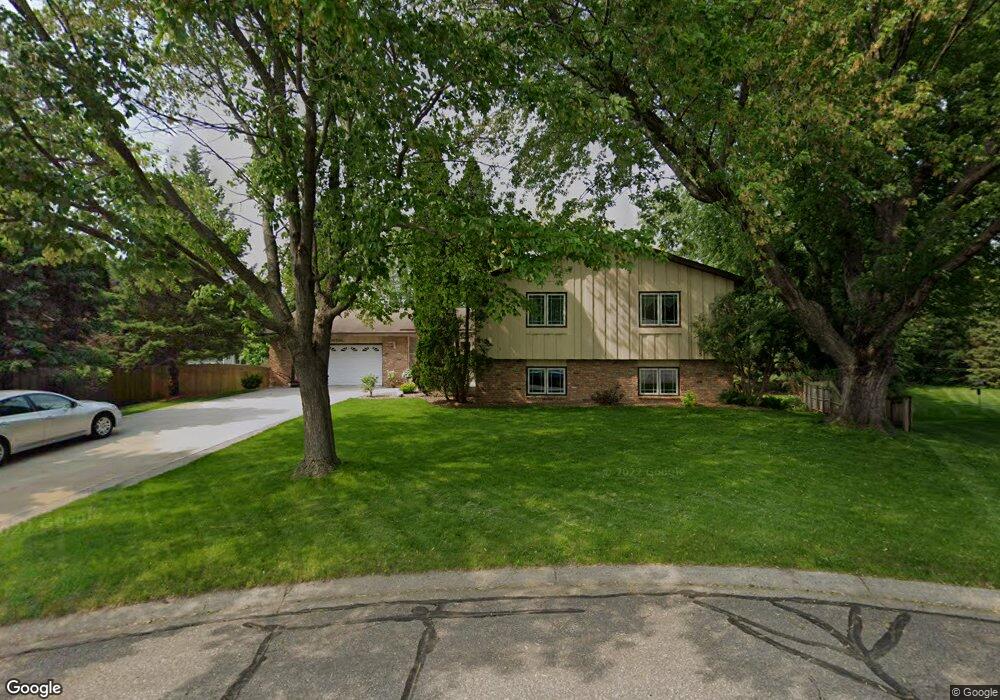
8385 141st Ct W Saint Paul, MN 55124
Alimagnet NeighborhoodEstimated Value: $497,000 - $533,000
4
Beds
4
Baths
1,680
Sq Ft
$303/Sq Ft
Est. Value
About This Home
This home is located at 8385 141st Ct W, Saint Paul, MN 55124 and is currently estimated at $509,161, approximately $303 per square foot. 8385 141st Ct W is a home located in Dakota County with nearby schools including Westview Elementary School, Valley Middle School, and Apple Valley Senior High School.
Ownership History
Date
Name
Owned For
Owner Type
Purchase Details
Closed on
Jun 12, 2017
Sold by
Thompson Michael P
Bought by
Thompson Arlys M
Current Estimated Value
Home Financials for this Owner
Home Financials are based on the most recent Mortgage that was taken out on this home.
Original Mortgage
$50,000
Interest Rate
4.02%
Mortgage Type
Purchase Money Mortgage
Create a Home Valuation Report for This Property
The Home Valuation Report is an in-depth analysis detailing your home's value as well as a comparison with similar homes in the area
Home Values in the Area
Average Home Value in this Area
Purchase History
| Date | Buyer | Sale Price | Title Company |
|---|---|---|---|
| Thompson Arlys M | -- | None Available |
Source: Public Records
Mortgage History
| Date | Status | Borrower | Loan Amount |
|---|---|---|---|
| Previous Owner | Thompson Arlys M | $50,000 |
Source: Public Records
Tax History Compared to Growth
Tax History
| Year | Tax Paid | Tax Assessment Tax Assessment Total Assessment is a certain percentage of the fair market value that is determined by local assessors to be the total taxable value of land and additions on the property. | Land | Improvement |
|---|---|---|---|---|
| 2024 | $5,398 | $474,800 | $102,200 | $372,600 |
| 2023 | $5,398 | $475,700 | $102,400 | $373,300 |
| 2022 | $4,648 | $458,400 | $102,000 | $356,400 |
| 2021 | $4,570 | $400,000 | $88,700 | $311,300 |
| 2020 | $4,552 | $385,500 | $84,500 | $301,000 |
| 2019 | $4,045 | $373,200 | $80,500 | $292,700 |
| 2018 | $3,800 | $348,100 | $76,600 | $271,500 |
| 2017 | $3,853 | $315,200 | $73,000 | $242,200 |
| 2016 | $3,840 | $303,900 | $69,500 | $234,400 |
| 2015 | $3,479 | $289,433 | $65,767 | $223,666 |
| 2014 | -- | $263,491 | $62,745 | $200,746 |
| 2013 | -- | $257,278 | $57,797 | $199,481 |
Source: Public Records
Map
Nearby Homes
- 14172 Heywood Path
- 14132 Heywood Path
- 13910 Herald Ct
- 14208 Heritage Ln
- 13902 Herald Way
- 13761 Hollybrook Cir
- 13780 Hanover Way
- 13751 Hollybrook Cir
- 13820 Holyoke Path
- 13731 Hollybrook Cir
- 13727 Hollybrook Cir
- The Sophia Plan at Eagle Pointe - Townhomes
- The Amelia Plan at Eagle Pointe - Townhomes
- The Magnolia Plan at Eagle Pointe - Townhomes
- The Nolan Plan at Eagle Pointe - Townhomes
- 14080 Guthrie Ave
- 8681 144th Street Ct
- 451 Reflection Rd
- 14010 140th Ct
- 13613 Hollybrook Dr
- 8395 141st Ct W
- 8375 141st Ct W
- 8375 141st Ct W
- 8370 141st Ct W
- 14148 Heywood Path
- 14144 Heywood Path
- 8415 141st Ct W
- 14152 Heywood Path
- 14140 Heywood Path
- 8320 140th Street Ct
- 14136 Heywood Path
- 14156 Heywood Path
- 8380 141st Ct W
- 8390 141st Ct W
- 14160 Heywood Path
- 8324 140th Street Ct
- 8410 141st Ct W
- 14168 Heywood Path
- 8435 141st Ct W
- 14116 Heywood Path