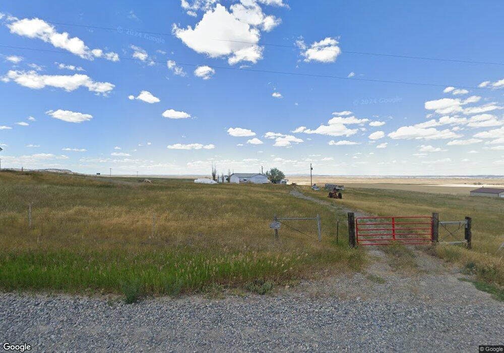
839 Michael Ln Billings, MT 59105
Estimated Value: $402,000 - $434,753
--
Bed
4
Baths
2,492
Sq Ft
$168/Sq Ft
Est. Value
About This Home
This home is located at 839 Michael Ln, Billings, MT 59105 and is currently estimated at $419,188, approximately $168 per square foot. 839 Michael Ln is a home with nearby schools including Independent Elementary School, Castle Rock Junior High School, and Skyview High School.
Ownership History
Date
Name
Owned For
Owner Type
Purchase Details
Closed on
Mar 28, 2006
Sold by
Droste Leonard H and Droste Marjorie A
Bought by
Degenhart Richard D
Current Estimated Value
Home Financials for this Owner
Home Financials are based on the most recent Mortgage that was taken out on this home.
Original Mortgage
$78,298
Outstanding Balance
$44,026
Interest Rate
6.18%
Mortgage Type
Purchase Money Mortgage
Estimated Equity
$375,162
Create a Home Valuation Report for This Property
The Home Valuation Report is an in-depth analysis detailing your home's value as well as a comparison with similar homes in the area
Purchase History
| Date | Buyer | Sale Price | Title Company |
|---|---|---|---|
| Degenhart Richard D | -- | None Available |
Source: Public Records
Mortgage History
| Date | Status | Borrower | Loan Amount |
|---|---|---|---|
| Open | Degenhart Richard D | $78,298 |
Source: Public Records
Tax History
| Year | Tax Paid | Tax Assessment Tax Assessment Total Assessment is a certain percentage of the fair market value that is determined by local assessors to be the total taxable value of land and additions on the property. | Land | Improvement |
|---|---|---|---|---|
| 2025 | $2,293 | $407,429 | $97,249 | $310,180 |
| 2024 | $2,293 | $342,326 | $75,806 | $266,520 |
| 2023 | $2,290 | $342,326 | $75,806 | $266,520 |
| 2022 | $2,124 | $278,622 | $0 | $0 |
| 2021 | $2,129 | $278,622 | $0 | $0 |
| 2020 | $2,145 | $269,306 | $0 | $0 |
| 2019 | $2,157 | $269,306 | $0 | $0 |
| 2018 | $2,167 | $249,132 | $0 | $0 |
| 2017 | $2,176 | $249,132 | $0 | $0 |
| 2016 | $1,958 | $240,082 | $0 | $0 |
| 2015 | $1,845 | $240,082 | $0 | $0 |
| 2014 | $1,593 | $107,492 | $0 | $0 |
Source: Public Records
Map
Nearby Homes
- 627 Pine Rock Blk 5 Lot 2 Trail
- 631 Pine Rock Blk 5 Lot 1 Trail
- Block 4, Lot 9 Pine Rock Trail
- 0 Middle Valley Dr
- 610 Pine Rock Trail
- 630 Pine Rock Blk 4 Lot 10 Trail
- 4947 Middle Valley Dr
- TBD Pine Rock Blk 1 Lot 1 Trail
- TBD Ridge Rock Bk 2 Lot 6 Trail
- 404 Pine Rock Blk 3 Lot 5 Trail
- TBD Pine Rock Blk 3 Lot 8 Trail
- TBD Pine Rock Blk 3 Lot 6 Trail
- 514 Pine Rock Blk 3 Lot 7 Trail
- 4901 Country View Dr
- TBD Sage Rock Blk 1 Lot 2 Trail
- Hiway 87 Hiway 87
- 637 Sage Rock Blk 4 Lot 2 Trail
- 627 Sage Rock Blk 4 Lot 3 Trail
- TBD Sage Rock Blk 1 Lot 3 Trail
- TBD Twisted Rock Blk 4 Lot 5 Trail
- 00 Highway 87
- 0 Highway 87
- 929 Michael Ln
- TBD Michael Ln
- 1000 Michael Ln
- 5649 Us Highway 87 N
- 5649 Us Highway 87 N
- 1110 Michael Ln
- 1125 Michael Ln
- 1124 Michael Ln
- 947 High Ridge Dr
- 1155 High Ridge Dr
- 5555 Deadwood Dr
- 1109 Muckle Dr
- 5542 Deadwood Dr
- 1111 High Ridge Dr
- 5510 Deadwood Dr
- TBD Cedar Hill Place
- 5512 Deadwood Dr
- 1015 Cedar Hill Place
Your Personal Tour Guide
Ask me questions while you tour the home.