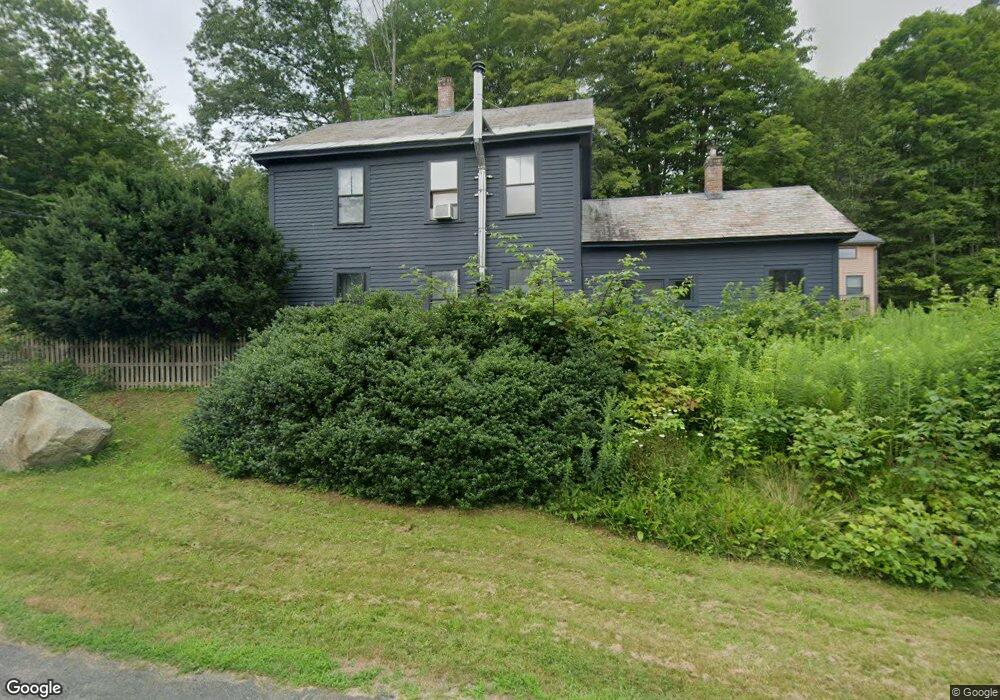
84 Ashfield St Shelburne Falls, MA 01370
Buckland NeighborhoodEstimated Value: $387,812
3
Beds
2
Baths
1,516
Sq Ft
$256/Sq Ft
Est. Value
About This Home
This home is located at 84 Ashfield St, Shelburne Falls, MA 01370 and is currently estimated at $387,812, approximately $255 per square foot. 84 Ashfield St is a home located in Franklin County with nearby schools including Mohawk Trail Regional High School.
Ownership History
Date
Name
Owned For
Owner Type
Purchase Details
Closed on
Aug 19, 2008
Sold by
Brewer Carol A and Lapierre Gary J
Bought by
Bizilia Adrian C and Bradley Mark G
Current Estimated Value
Home Financials for this Owner
Home Financials are based on the most recent Mortgage that was taken out on this home.
Original Mortgage
$134,000
Outstanding Balance
$87,513
Interest Rate
6.4%
Mortgage Type
Commercial
Estimated Equity
$300,299
Create a Home Valuation Report for This Property
The Home Valuation Report is an in-depth analysis detailing your home's value as well as a comparison with similar homes in the area
Home Values in the Area
Average Home Value in this Area
Purchase History
| Date | Buyer | Sale Price | Title Company |
|---|---|---|---|
| Bizilia Adrian C | $180,000 | -- | |
| Bizilia Adrian C | $180,000 | -- |
Source: Public Records
Mortgage History
| Date | Status | Borrower | Loan Amount |
|---|---|---|---|
| Open | Bizilia Adrian C | $134,000 | |
| Closed | Bizilia Adrian C | $134,000 |
Source: Public Records
Tax History
| Year | Tax Paid | Tax Assessment Tax Assessment Total Assessment is a certain percentage of the fair market value that is determined by local assessors to be the total taxable value of land and additions on the property. | Land | Improvement |
|---|---|---|---|---|
| 2025 | $7,647 | $451,400 | $46,200 | $405,200 |
| 2024 | $6,980 | $397,500 | $46,200 | $351,300 |
| 2023 | $6,734 | $397,500 | $46,200 | $351,300 |
| 2022 | $6,670 | $397,500 | $46,200 | $351,300 |
| 2021 | $6,112 | $342,600 | $46,200 | $296,400 |
| 2020 | $6,000 | $324,000 | $46,200 | $277,800 |
| 2019 | $5,609 | $301,100 | $46,200 | $254,900 |
| 2018 | $5,446 | $288,900 | $46,200 | $242,700 |
| 2017 | $5,077 | $281,300 | $46,200 | $235,100 |
| 2016 | $4,669 | $276,300 | $46,200 | $230,100 |
| 2015 | $4,642 | $276,300 | $46,200 | $230,100 |
Source: Public Records
Map
Nearby Homes
- 10 Deerfield Ave Unit 5
- 10 Deerfield Ave Unit 2
- 102 Elm St
- 2151 Route 2
- 2155 Massachusetts 2
- 143 E Buckland Rd
- 7 Hog Hollow Rd
- 0 Upper St
- 31 W Oxbow Rd
- 24 W Oxbow Rd
- 0 W Oxbow Rd Unit 73453651
- 0 W Oxbow Rd Unit 248444
- 5 Clesson Brook Rd
- 1451 Massachusetts 2
- 1451 Route 2 E
- 85 Dacey Rd
- lot 1 Shelburne Falls Rd
- 240 Beldingville Rd
- 00 Brook Rd
- 8 Deer Run Path
- Lot 6 Bray Rd
- Lot 10 Bray Rd
- 0 Bray Rd Unit 72324562
- 0 Bray Rd Unit 70840155
- 0 Bray Rd Unit 71173788
- 0 Bray Rd Unit 70326440
- 0 Bray Rd Unit 72643296
- 0 Bray Rd Unit 72437163
- 80 Ashfield St
- 7 Spring St
- 4 Bray Rd
- 81 Ashfield St
- 11 Walker Rd
- 1 Kratt Ave
- 10 Kratt Ave
- 10 Spring St
- 10 Bray Rd
- 79 Ashfield St
- 12 Bray Rd
- 13 Spring St
Your Personal Tour Guide
Ask me questions while you tour the home.