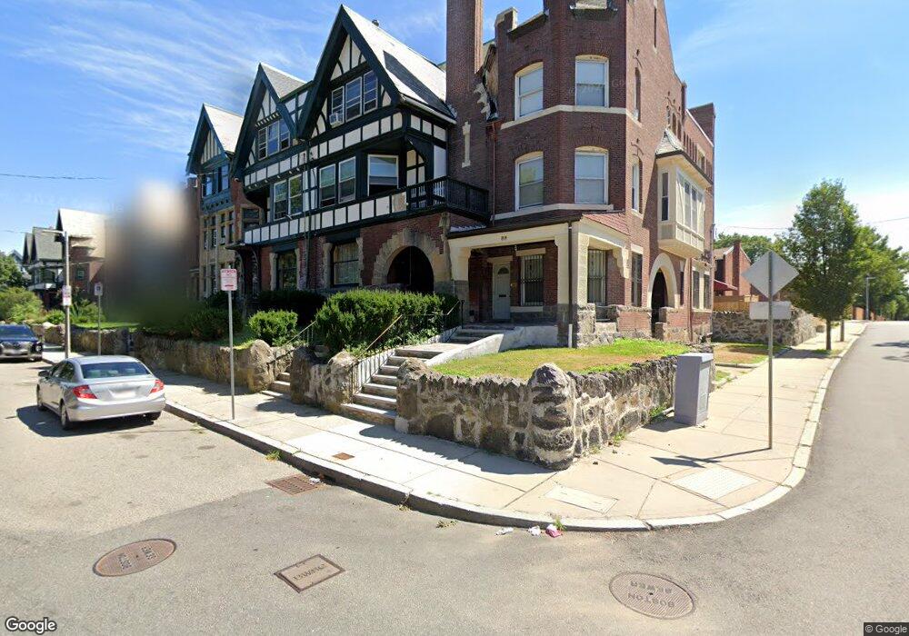
84 Harold St Roxbury, MA 02119
Washington Park NeighborhoodEstimated Value: $936,000 - $1,102,000
4
Beds
3
Baths
3,247
Sq Ft
$316/Sq Ft
Est. Value
About This Home
This home is located at 84 Harold St, Roxbury, MA 02119 and is currently estimated at $1,026,449, approximately $316 per square foot. 84 Harold St is a home located in Suffolk County with nearby schools including Bridge Boston Charter School and City on a Hill Charter Public School.
Ownership History
Date
Name
Owned For
Owner Type
Purchase Details
Closed on
Dec 26, 1995
Sold by
Iag Fcu
Bought by
Neighbors Michael W
Current Estimated Value
Purchase Details
Closed on
May 30, 1995
Sold by
Long Michael L and Iag Fcu
Bought by
Iag Fcu
Create a Home Valuation Report for This Property
The Home Valuation Report is an in-depth analysis detailing your home's value as well as a comparison with similar homes in the area
Home Values in the Area
Average Home Value in this Area
Purchase History
| Date | Buyer | Sale Price | Title Company |
|---|---|---|---|
| Neighbors Michael W | $125,000 | -- | |
| Iag Fcu | $100,000 | -- |
Source: Public Records
Mortgage History
| Date | Status | Borrower | Loan Amount |
|---|---|---|---|
| Open | Iag Fcu | $405,000 | |
| Closed | Iag Fcu | $350,000 |
Source: Public Records
Tax History Compared to Growth
Tax History
| Year | Tax Paid | Tax Assessment Tax Assessment Total Assessment is a certain percentage of the fair market value that is determined by local assessors to be the total taxable value of land and additions on the property. | Land | Improvement |
|---|---|---|---|---|
| 2025 | $9,505 | $820,800 | $192,500 | $628,300 |
| 2024 | $6,899 | $632,900 | $146,500 | $486,400 |
| 2023 | $6,797 | $632,900 | $146,500 | $486,400 |
| 2022 | $6,439 | $591,800 | $137,000 | $454,800 |
| 2021 | $6,015 | $563,700 | $134,300 | $429,400 |
| 2020 | $5,293 | $501,200 | $123,500 | $377,700 |
| 2019 | $4,937 | $468,400 | $102,700 | $365,700 |
| 2018 | $4,585 | $437,500 | $102,700 | $334,800 |
| 2017 | $4,633 | $437,500 | $102,700 | $334,800 |
| 2016 | $4,584 | $416,700 | $102,700 | $314,000 |
| 2015 | $5,212 | $430,400 | $71,900 | $358,500 |
| 2014 | $5,256 | $417,800 | $71,900 | $345,900 |
Source: Public Records
Map
Nearby Homes
- 90 Munroe St
- 151 Townsend St
- 99 Harrishof St
- 16 Mayfair St
- 8 Brinton St Unit 2
- 2856 Washington St
- 28 Wabon St
- 94 Walnut Ave
- 9 Abbotsford St Unit 1
- 4 Ruthven St
- 4 Wyoming St Unit 2
- 9-45 Vale St
- 495 Warren St
- 75 Ruthven St
- 476 Warren St
- 35-37 Notre Dame St
- 26-28-30 Notre Dame St
- 10 Rockland St Unit 4
- 5 Glenburne St
- 7 Waumbeck St Unit 3
- 82 Harold St
- 86 Harold St
- 80 Harold St
- 88 Harold St Unit 2
- 88 Harold St Unit 1
- 124 Townsend St
- 124 Townsend St Unit 1
- 78 Harold St
- 76 Harold St
- 74 Harold St
- 72 Harold St
- 70 Harold St
- 135 Townsend St Unit C14
- 135 Townsend St Unit C13
- 135 Townsend St Unit C12
- 135 Townsend St Unit C11
- 135 Townsend St Unit C10
- 135 Townsend St Unit C9
- 135 Townsend St Unit C8
- 135 Townsend St Unit C7