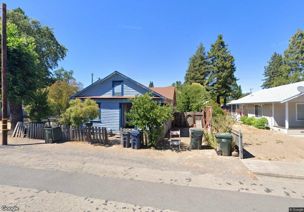
84 Monroe St Willits, CA 95490
Estimated Value: $198,000 - $320,000
2
Beds
1
Bath
938
Sq Ft
$255/Sq Ft
Est. Value
About This Home
This home is located at 84 Monroe St, Willits, CA 95490 and is currently estimated at $238,847, approximately $254 per square foot. 84 Monroe St is a home located in Mendocino County with nearby schools including Brookside Elementary School, Blosser Lane Elementary School, and Baechtel Grove Middle School.
Ownership History
Date
Name
Owned For
Owner Type
Purchase Details
Closed on
Dec 14, 2021
Sold by
Vassar Maxine and Estate Of Steven Douglas Mccon
Bought by
Faherty John E and John E Faherty Revocable Trust
Current Estimated Value
Purchase Details
Closed on
Jan 14, 2012
Sold by
Vassar Maxine L
Bought by
Mcconnell Helen E and Mcconnell Steven D
Purchase Details
Closed on
Jan 15, 2010
Sold by
Mcconnell Helen E
Bought by
Vassar Maxine L
Create a Home Valuation Report for This Property
The Home Valuation Report is an in-depth analysis detailing your home's value as well as a comparison with similar homes in the area
Home Values in the Area
Average Home Value in this Area
Purchase History
| Date | Buyer | Sale Price | Title Company |
|---|---|---|---|
| Faherty John E | $160,000 | Fidelity Natl Ttl Co Of Ca | |
| Mcconnell Helen E | -- | None Available | |
| Vassar Maxine L | -- | None Available |
Source: Public Records
Tax History
| Year | Tax Paid | Tax Assessment Tax Assessment Total Assessment is a certain percentage of the fair market value that is determined by local assessors to be the total taxable value of land and additions on the property. | Land | Improvement |
|---|---|---|---|---|
| 2025 | $3,018 | $169,791 | $80,651 | $89,140 |
| 2023 | $3,018 | $163,200 | $77,520 | $85,680 |
| 2022 | $2,802 | $160,000 | $76,000 | $84,000 |
| 2021 | $1,708 | $64,312 | $12,777 | $51,535 |
| 2020 | $1,691 | $63,712 | $12,682 | $51,030 |
| 2019 | $1,689 | $62,463 | $12,433 | $50,030 |
| 2018 | $1,545 | $61,238 | $12,189 | $49,049 |
| 2017 | $1,476 | $60,037 | $11,950 | $48,087 |
| 2016 | $1,418 | $58,861 | $11,716 | $47,145 |
| 2015 | $1,407 | $57,976 | $11,540 | $46,436 |
| 2014 | $1,398 | $56,841 | $11,314 | $45,527 |
Source: Public Records
Map
Nearby Homes
- 372 S Lenore Ave
- 316 S Main St
- 308 Coast St
- 350 Creekside Dr
- 1051 S Main St
- 0 Catherine Ln
- 84 School St
- 0 Poplar Ave Unit 324037613
- 1242 Poplar Ave
- 1407 Brothers Ln
- 454 Della Ave
- 490 Della Ave
- 25331 Sherwood Rd
- 25201 Sherwood Rd
- 21441 Pineview Dr
- 1581 S Main St
- 1750 S Main St Unit 37
- 26400 Sherwood Rd
- 252 Margie Dr
- 450 Grove St
- 98 Monroe St
- 28 Monroe St
- 67 E San Francisco Ave
- 430 Central Ave
- 63 E San Francisco Ave
- 26 Monroe St
- 89 E San Francisco Ave
- 53 E San Francisco Ave
- 73 Monroe St
- 63 Monroe St
- 83 Monroe St
- 97 E San Francisco Ave
- 39 E San Francisco Ave
- 37 Monroe St
- 441 Central Ave
- 31 E San Francisco Ave
- 475 Central Ave
- 25 Monroe St
- 501 Central Ave
Your Personal Tour Guide
Ask me questions while you tour the home.