84 Pointe Trinity Dr Strafford, NH 03884
Estimated Value: $923,000 - $1,432,000
5
Beds
5
Baths
5,068
Sq Ft
$237/Sq Ft
Est. Value
About This Home
This home is located at 84 Pointe Trinity Dr, Strafford, NH 03884 and is currently estimated at $1,203,575, approximately $237 per square foot. 84 Pointe Trinity Dr is a home located in Strafford County with nearby schools including Strafford School and Coe-Brown Northwood Academy.
Ownership History
Date
Name
Owned For
Owner Type
Purchase Details
Closed on
Aug 18, 2014
Sold by
Donohue Robert M and Donohue Linda M
Bought by
Kingsbury Kathleen and Banks William G
Current Estimated Value
Purchase Details
Closed on
Apr 25, 2001
Sold by
Camelot T
Bought by
Donahue Robert M and Donahue Linda M
Create a Home Valuation Report for This Property
The Home Valuation Report is an in-depth analysis detailing your home's value as well as a comparison with similar homes in the area
Home Values in the Area
Average Home Value in this Area
Purchase History
| Date | Buyer | Sale Price | Title Company |
|---|---|---|---|
| Kingsbury Kathleen | $515,000 | -- | |
| Kingsbury Kathleen | $515,000 | -- | |
| Donahue Robert M | $72,000 | -- | |
| Donahue Robert M | $72,000 | -- |
Source: Public Records
Mortgage History
| Date | Status | Borrower | Loan Amount |
|---|---|---|---|
| Previous Owner | Donahue Robert M | $65,000 | |
| Previous Owner | Donahue Robert M | $50,000 | |
| Previous Owner | Donahue Robert M | $315,000 |
Source: Public Records
Tax History
| Year | Tax Paid | Tax Assessment Tax Assessment Total Assessment is a certain percentage of the fair market value that is determined by local assessors to be the total taxable value of land and additions on the property. | Land | Improvement |
|---|---|---|---|---|
| 2024 | $16,462 | $833,100 | $177,500 | $655,600 |
| 2023 | $15,372 | $824,700 | $177,500 | $647,200 |
| 2022 | $14,127 | $824,700 | $177,500 | $647,200 |
| 2021 | $15,084 | $817,100 | $177,500 | $639,600 |
| 2020 | $14,615 | $569,800 | $145,200 | $424,600 |
| 2019 | $13,357 | $569,100 | $145,200 | $423,900 |
| 2018 | $13,448 | $569,100 | $145,200 | $423,900 |
| 2016 | $12,093 | $569,100 | $145,200 | $423,900 |
| 2015 | $13,457 | $617,000 | $171,200 | $445,800 |
| 2014 | $13,699 | $591,500 | $171,200 | $420,300 |
| 2013 | $14,744 | $650,100 | $171,200 | $478,900 |
| 2012 | $14,549 | $650,100 | $171,200 | $478,900 |
Source: Public Records
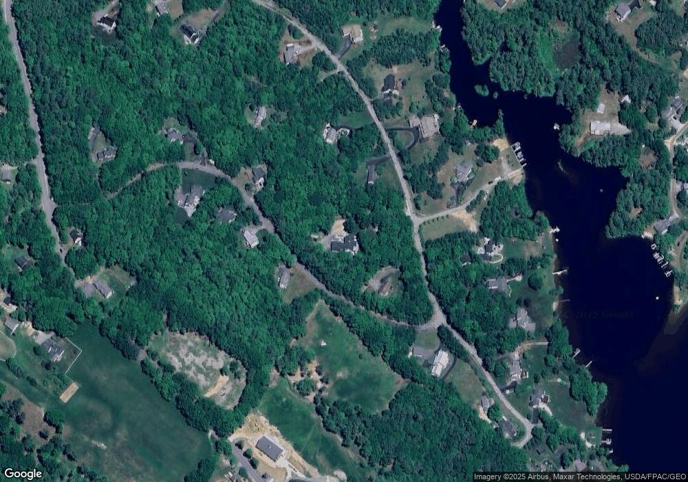
Map
Nearby Homes
- 114 Bow Lake Estates Rd
- 133 & 137 Browns Pasture Rd
- 239 Long Pond Rd
- Map 219 Lot 6-8 Ridge Rd
- Map 3 Lot 18-2b and 18-2c Water St
- 18 Collins Dr
- 0 1st New Hampshire Turnpike Unit 5013320
- 150A 1st New Hampshire Turnpike
- 26 Harmony Rd
- 73 Harvey Lake Rd
- 2 Oak Ct
- 26 Oak St
- 641 & 647 First nh Turnpike
- 11 Chestnut Ln
- 17 Brook Cir
- M37 L40 Beaver Rd
- 617 1st New Hampshire Turnpike Unit 9
- 7 Chestnut Ln
- 21 Brook Cir
- 5 Chestnut Ln
- 84 Pointe Trinity Dr Unit 1
- 92 Pointe Trinity Dr
- 74 Pointe Trinity Dr
- 68 Pointe Trinity Dr
- 40 Carter Way
- 50 Carter Way
- 85 Pointe Trinity Dr
- 37 Carter Way
- 38 Carter Way
- 71 Pointe Trinity Dr
- 95 Pointe Trinity Dr
- 58 Pointe Trinity Dr
- 24 Carter Way
- 104 Pointe Trinity Dr
- 104 Pointe Trinity Dr Unit A
- 99 Pointe Trinity Dr
- 67 Pointe Trinity Dr
- 109 Pointe Trinity Dr
- 52 Pointe Trinity Dr
- 55 Pointe Trinity Dr
Your Personal Tour Guide
Ask me questions while you tour the home.