84 Richard Rd Hanson, MA 02341
Estimated Value: $599,581 - $637,000
3
Beds
1
Bath
1,480
Sq Ft
$419/Sq Ft
Est. Value
About This Home
This home is located at 84 Richard Rd, Hanson, MA 02341 and is currently estimated at $620,395, approximately $419 per square foot. 84 Richard Rd is a home located in Plymouth County.
Ownership History
Date
Name
Owned For
Owner Type
Purchase Details
Closed on
May 31, 2005
Sold by
Thoms John H and Thoms Richelle L
Bought by
Frazier William F and Frazier Tanya
Current Estimated Value
Home Financials for this Owner
Home Financials are based on the most recent Mortgage that was taken out on this home.
Original Mortgage
$324,000
Interest Rate
5.94%
Mortgage Type
Purchase Money Mortgage
Purchase Details
Closed on
Mar 12, 2004
Sold by
Hanlon David C and Hanlon Marie R
Bought by
Thoms John H and Thoms Richelle L
Create a Home Valuation Report for This Property
The Home Valuation Report is an in-depth analysis detailing your home's value as well as a comparison with similar homes in the area
Home Values in the Area
Average Home Value in this Area
Purchase History
| Date | Buyer | Sale Price | Title Company |
|---|---|---|---|
| Frazier William F | $360,000 | -- | |
| Thoms John H | $315,000 | -- |
Source: Public Records
Mortgage History
| Date | Status | Borrower | Loan Amount |
|---|---|---|---|
| Open | Thoms John H | $313,500 | |
| Closed | Thoms John H | $328,000 | |
| Closed | Thoms John H | $324,000 |
Source: Public Records
Tax History
| Year | Tax Paid | Tax Assessment Tax Assessment Total Assessment is a certain percentage of the fair market value that is determined by local assessors to be the total taxable value of land and additions on the property. | Land | Improvement |
|---|---|---|---|---|
| 2025 | $6,801 | $508,300 | $181,000 | $327,300 |
| 2024 | $6,606 | $493,700 | $175,800 | $317,900 |
| 2023 | $6,486 | $457,400 | $175,800 | $281,600 |
| 2022 | $6,277 | $416,000 | $159,800 | $256,200 |
| 2021 | $5,593 | $370,400 | $153,700 | $216,700 |
| 2020 | $5,389 | $352,900 | $148,400 | $204,500 |
| 2019 | $5,164 | $332,500 | $145,600 | $186,900 |
| 2018 | $9,302 | $320,100 | $140,000 | $180,100 |
| 2017 | $9,443 | $307,500 | $133,300 | $174,200 |
| 2016 | $4,963 | $299,900 | $133,300 | $166,600 |
| 2015 | $4,712 | $296,000 | $133,300 | $162,700 |
Source: Public Records
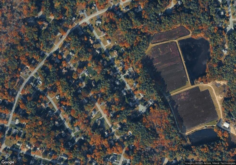
Map
Nearby Homes
- 161 Winter St Unit 11
- 134 Crescent St
- 269 Lakeside Rd
- Lot 6 Way
- Lot 2 Harvard Rd
- 42 Taylor Point Rd
- 361 County Rd
- 84 Liberty St
- 430 Brook Bend Rd
- 361A County Rd
- Lot 5 Princeton Way
- 339 State St
- 139 Fairwood Dr
- 11 Carol Ave
- 724 Whitman St
- 66 Wildwood Rd
- 501 W Washington St
- 38 High St Unit 8
- 72 Phillips St
- 1054 Main St
Your Personal Tour Guide
Ask me questions while you tour the home.