8401 Highway 614 Moss Point, MS 39562
Estimated Value: $124,952 - $258,000
--
Bed
--
Bath
1,462
Sq Ft
$139/Sq Ft
Est. Value
About This Home
This home is located at 8401 Highway 614, Moss Point, MS 39562 and is currently estimated at $203,317, approximately $139 per square foot. 8401 Highway 614 is a home with nearby schools including East Central Lower Elementary School, East Central Upper Elementary School, and East Central Middle School.
Ownership History
Date
Name
Owned For
Owner Type
Purchase Details
Closed on
Apr 17, 2020
Sold by
Baria Donna L
Bought by
Baria Dylan B
Current Estimated Value
Home Financials for this Owner
Home Financials are based on the most recent Mortgage that was taken out on this home.
Original Mortgage
$72,000
Outstanding Balance
$64,022
Interest Rate
3.6%
Mortgage Type
New Conventional
Estimated Equity
$139,295
Purchase Details
Closed on
Mar 7, 2018
Sold by
Baria Michael J and Baria Nelda
Bought by
Baria Dylan B
Create a Home Valuation Report for This Property
The Home Valuation Report is an in-depth analysis detailing your home's value as well as a comparison with similar homes in the area
Home Values in the Area
Average Home Value in this Area
Purchase History
| Date | Buyer | Sale Price | Title Company |
|---|---|---|---|
| Baria Dylan B | -- | None Available | |
| Baria Dylan B | -- | -- |
Source: Public Records
Mortgage History
| Date | Status | Borrower | Loan Amount |
|---|---|---|---|
| Open | Baria Dylan B | $72,000 |
Source: Public Records
Tax History Compared to Growth
Tax History
| Year | Tax Paid | Tax Assessment Tax Assessment Total Assessment is a certain percentage of the fair market value that is determined by local assessors to be the total taxable value of land and additions on the property. | Land | Improvement |
|---|---|---|---|---|
| 2024 | $509 | $6,238 | $1,465 | $4,773 |
| 2023 | $509 | $6,239 | $1,466 | $4,773 |
| 2022 | $488 | $6,239 | $1,466 | $4,773 |
| 2021 | $408 | $5,146 | $1,471 | $3,675 |
| 2020 | $392 | $4,733 | $1,368 | $3,365 |
| 2019 | $405 | $5,146 | $1,756 | $3,390 |
| 2018 | $933 | $7,657 | $2,600 | $5,057 |
| 2017 | $948 | $7,655 | $2,598 | $5,057 |
| 2016 | $910 | $7,651 | $2,594 | $5,057 |
| 2015 | $862 | $48,020 | $17,260 | $30,760 |
| 2014 | $848 | $7,221 | $2,607 | $4,614 |
| 2013 | $945 | $8,322 | $2,598 | $5,724 |
Source: Public Records
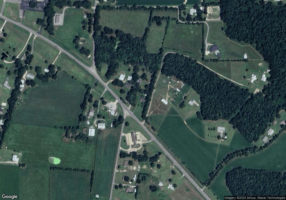
Map
Nearby Homes
- 21551 John Holder Rd
- 8012 Coleman Homestead Rd
- 0 Mississippi 614
- 22020 John Holder Rd
- 21217 E Trails End Rd
- 22817 Alamosa Dr
- 23117 Hinton Rd
- 7805 Songbird Ln
- 6709 Caraway Rd
- 6105 Mccormack Rd
- 23601 Hinton Rd
- 0 Dap Rd E
- 01 Dap Rd E
- 23ac Hinton Rd
- 18517 Goff Farm Rd
- Lot 32 Huckleberry Ln
- 8200 Butler Rd
- 5402 Huckleberry Ln
- 27 Acres Brinkman Rd E
- 17500 Goff Farm Rd
- 8301 Highway 614
- 8417 Highway 614
- 8300 Highway 614
- Tbd Hwy 614
- 8729 Coleman Homestead Rd
- 8730 Coleman Homestead Rd
- 8721 Coleman Homestead Rd
- 8128 Highway 614
- 8501 Highway 614
- 8701 Coleman Homestead Rd
- 20816 Baria Rd
- 8120 Highway 614
- 20808 Baria Rd
- 8708 Coleman Homestead Rd
- 8455 Highway 614
- 0 Coleman Homestead
- 21028 Snow Rd
- 8616 Coleman Homestead Rd
- 8112 Highway 614
- 20729 Baria Rd