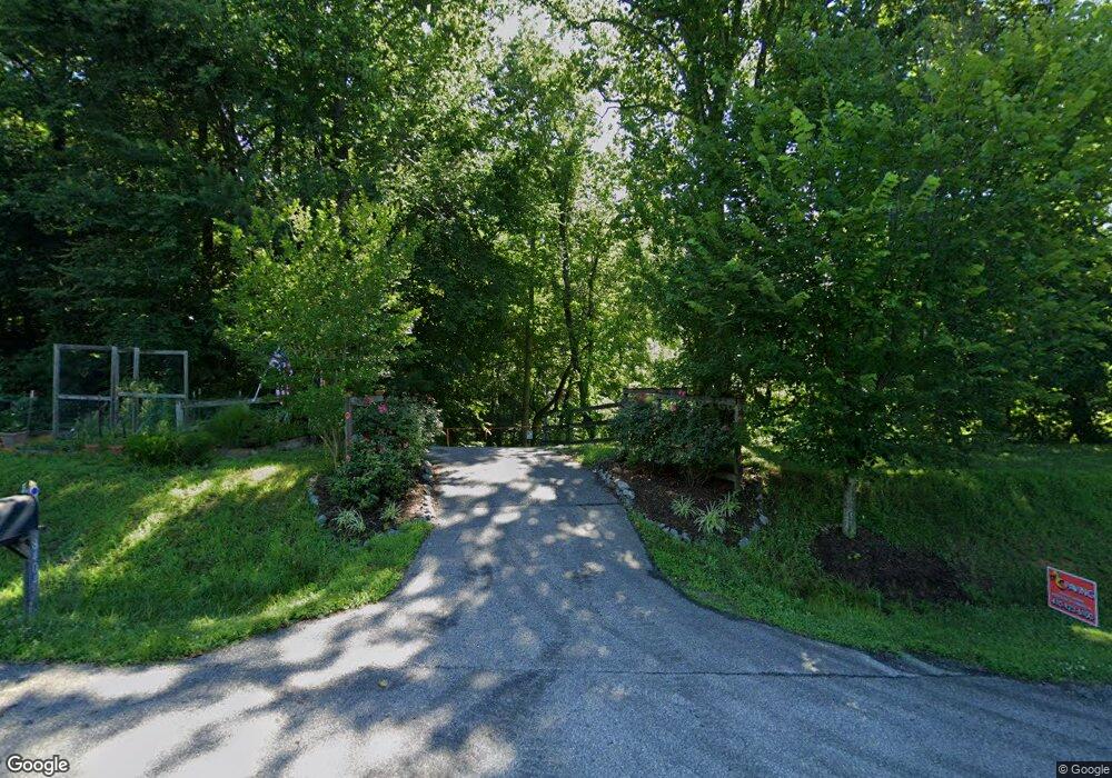
8404 Hollow Tree Ln Upper Marlboro, MD 20772
Croom NeighborhoodEstimated Value: $589,000 - $758,000
--
Bed
3
Baths
2,772
Sq Ft
$238/Sq Ft
Est. Value
About This Home
This home is located at 8404 Hollow Tree Ln, Upper Marlboro, MD 20772 and is currently estimated at $659,724, approximately $237 per square foot. 8404 Hollow Tree Ln is a home located in Prince George's County with nearby schools including Mattaponi Elementary School, Gwynn Park Middle School, and Frederick Douglass High School.
Ownership History
Date
Name
Owned For
Owner Type
Purchase Details
Closed on
Mar 11, 1996
Sold by
Cannon Charles J
Bought by
Ridley Wallace R and Ridley Dorothy M
Current Estimated Value
Purchase Details
Closed on
Dec 26, 1979
Sold by
Duley Thomas F
Bought by
Cannon Charles J and Cannon Barbara F
Create a Home Valuation Report for This Property
The Home Valuation Report is an in-depth analysis detailing your home's value as well as a comparison with similar homes in the area
Home Values in the Area
Average Home Value in this Area
Purchase History
| Date | Buyer | Sale Price | Title Company |
|---|---|---|---|
| Ridley Wallace R | $300,000 | -- | |
| Cannon Charles J | $25,000 | -- |
Source: Public Records
Tax History Compared to Growth
Tax History
| Year | Tax Paid | Tax Assessment Tax Assessment Total Assessment is a certain percentage of the fair market value that is determined by local assessors to be the total taxable value of land and additions on the property. | Land | Improvement |
|---|---|---|---|---|
| 2024 | $6,140 | $476,300 | $180,100 | $296,200 |
| 2023 | $5,296 | $476,300 | $180,100 | $296,200 |
| 2022 | $6,077 | $546,500 | $140,400 | $406,100 |
| 2021 | $13,766 | $536,067 | $0 | $0 |
| 2020 | $13,337 | $525,633 | $0 | $0 |
| 2019 | $7,378 | $515,200 | $144,400 | $370,800 |
| 2018 | $6,171 | $483,100 | $0 | $0 |
| 2017 | $5,881 | $451,000 | $0 | $0 |
| 2016 | -- | $418,900 | $0 | $0 |
| 2015 | $5,214 | $417,800 | $0 | $0 |
| 2014 | $5,214 | $416,700 | $0 | $0 |
Source: Public Records
Map
Nearby Homes
- 14711 Mount Calvert Rd
- 8901 Brookridge Dr
- 9316 Croom Rd
- 0 Croom Airport Rd Unit MDPG2148084
- 12801 Ricker Rd
- 8901 Duvall Rd
- 8603 Sweet Rose Ct
- 7200 Chew Rd
- 12458 Old Colony Dr
- 12216 Westview Dr
- 12919 Trumbull Dr
- 9208 Carendon Ct
- 10008 Thomas Brooke Place
- 12810 Carousel Ct
- 12719 Town Center Way
- 9402 Grandhaven Ave
- 12736 Wedgedale Ct
- 0 Robert Crain Hwy Unit MDPG2140262
- 0 Robert Crain Hwy Unit MDPG2138350
- 14605 Van Wagner Rd
- 8408 Hollow Tree Ln
- 8508 Croom Rd
- 8406 Hollow Tree Ln
- 8400 Hollow Tree Ln
- 8300 Hollow Tree Ln
- 8405 Hollow Tree Ln
- 8401 Hollow Tree Ln
- 8409 Hollow Tree Ln
- 8305 Hollow Tree Ln
- 8602 Croom Rd
- 8301 Hollow Tree Ln
- 8606 Croom Rd
- 14608 Mount Calvert Rd
- 14611 Mount Calvert Rd
- 14700 Mount Calvert Rd
- 8610 Croom Rd
- 14400 Mount Calvert rd Spur
- 14607 Mount Calvert Rd
- 14620 Mount Calvert Rd
- 14701 Mount Calvert Rd