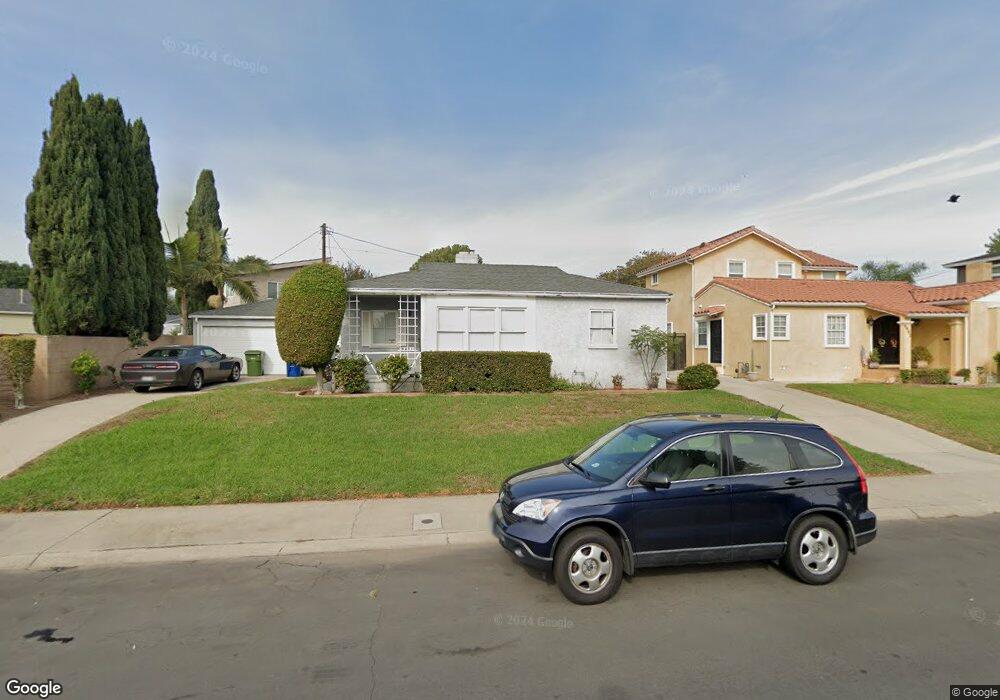
8411 Flight Ave Los Angeles, CA 90045
Westchester NeighborhoodEstimated Value: $1,282,000 - $1,492,000
3
Beds
2
Baths
1,299
Sq Ft
$1,050/Sq Ft
Est. Value
About This Home
This home is located at 8411 Flight Ave, Los Angeles, CA 90045 and is currently estimated at $1,363,678, approximately $1,049 per square foot. 8411 Flight Ave is a home located in Los Angeles County with nearby schools including Westport Heights Elementary, Wright Middle School STEAM Magnet, and Westchester Enriched Sciences Magnets.
Ownership History
Date
Name
Owned For
Owner Type
Purchase Details
Closed on
Aug 7, 2003
Sold by
Sherman Jay
Bought by
Rhine James G
Current Estimated Value
Home Financials for this Owner
Home Financials are based on the most recent Mortgage that was taken out on this home.
Original Mortgage
$384,000
Outstanding Balance
$167,620
Interest Rate
5.5%
Mortgage Type
Purchase Money Mortgage
Estimated Equity
$1,196,058
Purchase Details
Closed on
Oct 22, 2002
Sold by
Sherman Tricia
Bought by
Sherman Jay
Home Financials for this Owner
Home Financials are based on the most recent Mortgage that was taken out on this home.
Original Mortgage
$304,000
Interest Rate
5.89%
Purchase Details
Closed on
Oct 4, 2002
Sold by
Goforth Kathleen
Bought by
Sherman Jay
Home Financials for this Owner
Home Financials are based on the most recent Mortgage that was taken out on this home.
Original Mortgage
$304,000
Interest Rate
5.89%
Create a Home Valuation Report for This Property
The Home Valuation Report is an in-depth analysis detailing your home's value as well as a comparison with similar homes in the area
Home Values in the Area
Average Home Value in this Area
Purchase History
| Date | Buyer | Sale Price | Title Company |
|---|---|---|---|
| Rhine James G | $480,000 | Fidelity National Title Co | |
| Sherman Jay | -- | Fidelity National Title Co | |
| Sherman Jay | $380,000 | Fidelity National Title Co |
Source: Public Records
Mortgage History
| Date | Status | Borrower | Loan Amount |
|---|---|---|---|
| Open | Rhine James G | $384,000 | |
| Previous Owner | Sherman Jay | $304,000 | |
| Closed | Sherman Jay | $38,000 |
Source: Public Records
Tax History Compared to Growth
Tax History
| Year | Tax Paid | Tax Assessment Tax Assessment Total Assessment is a certain percentage of the fair market value that is determined by local assessors to be the total taxable value of land and additions on the property. | Land | Improvement |
|---|---|---|---|---|
| 2025 | $8,254 | $682,441 | $545,959 | $136,482 |
| 2024 | $8,254 | $669,060 | $535,254 | $133,806 |
| 2023 | $8,099 | $655,942 | $524,759 | $131,183 |
| 2022 | $7,728 | $643,081 | $514,470 | $128,611 |
| 2021 | $7,629 | $630,473 | $504,383 | $126,090 |
| 2019 | $7,402 | $611,775 | $489,424 | $122,351 |
| 2018 | $7,342 | $599,780 | $479,828 | $119,952 |
| 2016 | $7,020 | $576,492 | $461,197 | $115,295 |
| 2015 | $6,918 | $567,834 | $454,270 | $113,564 |
| 2014 | $6,945 | $556,712 | $445,372 | $111,340 |
Source: Public Records
Map
Nearby Homes
- 6007 W 86th Place
- 8313 Kittyhawk Ave
- 8332 Barnsley Ave
- 8312 Barnsley Ave
- 8507 Naylor Ave
- 8812 De Haviland Ave
- 8815 Glider Ave
- 8418 Belford Ave
- 8101 Naylor Ave
- 8512 Belford Ave
- 8210 Alverstone Ave
- 8831 Glider Ave
- 7840 Boeing Ave
- 8906 Yorktown Ave
- 7832 Bleriot Ave
- 7842 Croydon Ave
- 8620 Belford Ave Unit 604
- 8620 Belford Ave Unit 608
- 8710 Belford Ave Unit 215B
- 8710 Belford Ave Unit 106B
- 8401 Flight Ave
- 8338 Airlane Ave
- 8408 Airlane Ave
- 8341 Flight Ave
- 8332 Airlane Ave
- 8410 Flight Ave
- 8406 Flight Ave
- 8326 Airlane Ave
- 8335 Flight Ave
- 8416 Flight Ave
- 8400 Flight Ave
- 6020 W 83rd Place
- 8422 Flight Ave
- 8340 Flight Ave
- 6012 W 83rd Place
- 8320 Airlane Ave
- 8401 Airlane Ave
- 8407 Airlane Ave
- 8426 Flight Ave
- 8337 Airlane Ave