Estimated Value: $373,000 - $440,303
2
Beds
2
Baths
1,200
Sq Ft
$332/Sq Ft
Est. Value
About This Home
This home is located at 8412 Highway F62 E, Sully, IA 50251 and is currently estimated at $398,826, approximately $332 per square foot. 8412 Highway F62 E is a home located in Jasper County with nearby schools including Lynnville-Sully Elementary School, Lynnville-Sully Middle School, and Lynnville-Sully High School.
Ownership History
Date
Name
Owned For
Owner Type
Purchase Details
Closed on
Mar 2, 2022
Sold by
Decook Nila Fon
Bought by
Mahr Andrew M and Mahr Tonya
Current Estimated Value
Home Financials for this Owner
Home Financials are based on the most recent Mortgage that was taken out on this home.
Original Mortgage
$310,400
Outstanding Balance
$290,014
Interest Rate
3.92%
Mortgage Type
New Conventional
Estimated Equity
$108,812
Create a Home Valuation Report for This Property
The Home Valuation Report is an in-depth analysis detailing your home's value as well as a comparison with similar homes in the area
Home Values in the Area
Average Home Value in this Area
Purchase History
| Date | Buyer | Sale Price | Title Company |
|---|---|---|---|
| Mahr Andrew M | $320,000 | None Listed On Document |
Source: Public Records
Mortgage History
| Date | Status | Borrower | Loan Amount |
|---|---|---|---|
| Open | Mahr Andrew M | $310,400 |
Source: Public Records
Tax History Compared to Growth
Tax History
| Year | Tax Paid | Tax Assessment Tax Assessment Total Assessment is a certain percentage of the fair market value that is determined by local assessors to be the total taxable value of land and additions on the property. | Land | Improvement |
|---|---|---|---|---|
| 2025 | $4,032 | $450,850 | $118,600 | $332,250 |
| 2024 | $4,032 | $369,660 | $73,460 | $296,200 |
| 2023 | $3,912 | $369,660 | $73,460 | $296,200 |
| 2022 | $2,204 | $178,880 | $13,220 | $165,660 |
| 2021 | $2,218 | $165,890 | $13,220 | $152,670 |
| 2020 | $2,218 | $160,990 | $13,880 | $147,110 |
| 2019 | $2,038 | $147,600 | $0 | $0 |
| 2018 | $2,038 | $147,600 | $0 | $0 |
| 2017 | $1,970 | $145,220 | $0 | $0 |
| 2016 | $1,970 | $145,220 | $0 | $0 |
| 2015 | $1,944 | $151,100 | $0 | $0 |
| 2014 | $1,936 | $151,100 | $0 | $0 |
Source: Public Records
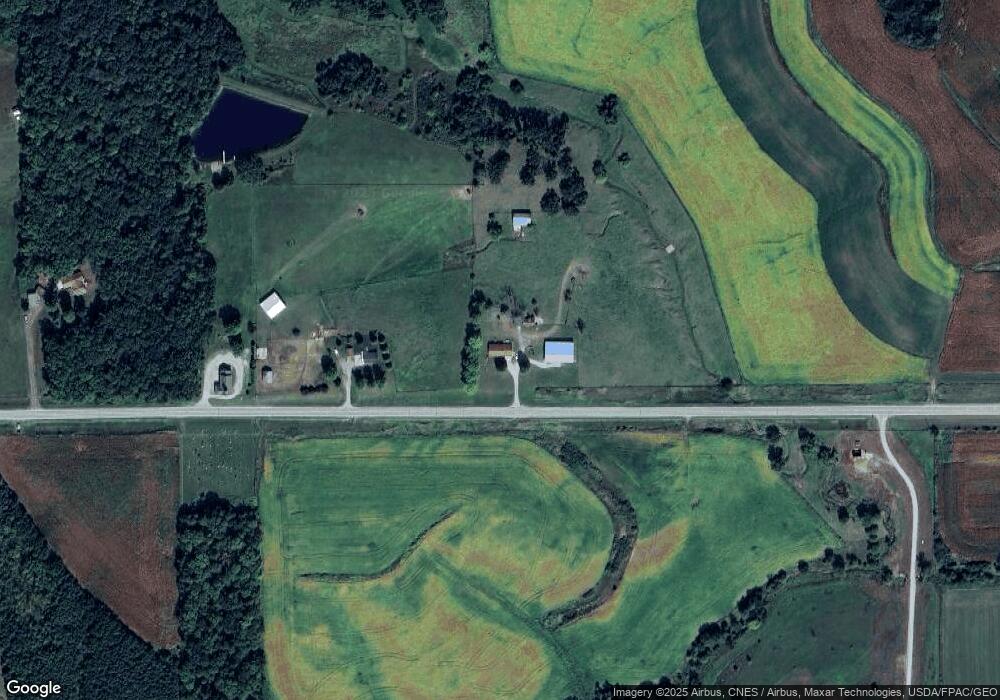
Map
Nearby Homes
- 7404 Sioux Ave
- 5760 S 80th Ave E
- 7233 Highway T 22 S
- 6657 E 78th St S
- 5211 S 70th Ave E
- 11377 S 100th Ave E
- 11790 Highway F62 E
- 424 Newton St
- 202 8th Ave
- 805 5th St
- 205 N 8th Ave
- 702 10th Ave
- 5122 E 84th St S
- 1006 2nd St
- 4683 Legion St Unit ST80
- 13214 S 112th Ave E
- 297 240th Place
- 1397 S 52nd Ave E
- 413 210th Ave
- 309 Hillside Dr
- 8356 Highway F62 E
- 8204 Highway F62 E
- 8579 Highway F62 E
- 8129 Highway F62 E
- 8649 Seneca St
- 8706 Shawnee Ave
- 8558 Seneca St
- 7937 Highway F62 E
- 7841 Highway F62 E
- 9401 Highway T14 S
- 9401 Highway T 14 S
- 8659 Shawnee Ave
- 8624 Shawnee Ave
- 7805 Highway F62 E
- 8597 Shawnee Ave
- 7803 Highway F62 E
- 8612 Shawnee Ave
- 9553 Highway T 14 S
- 9553 Highway T14 S
- 8326 Seneca St