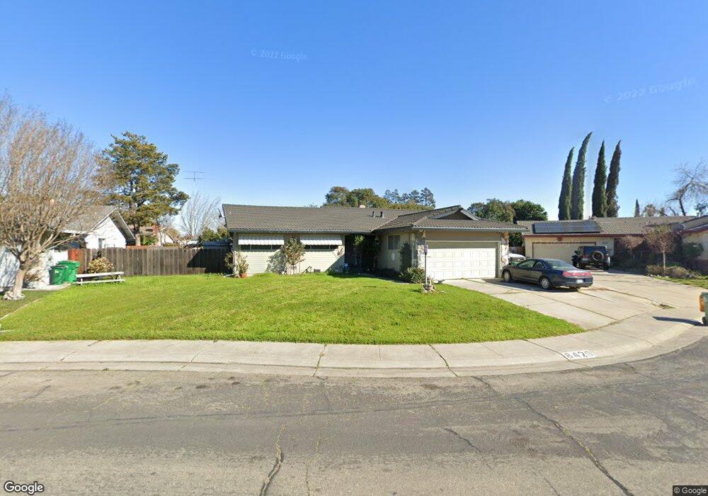
8420 Macduff Ct Stockton, CA 95209
Stonewood NeighborhoodEstimated Value: $420,000 - $458,000
3
Beds
2
Baths
1,424
Sq Ft
$305/Sq Ft
Est. Value
About This Home
This home is located at 8420 Macduff Ct, Stockton, CA 95209 and is currently estimated at $434,847, approximately $305 per square foot. 8420 Macduff Ct is a home located in San Joaquin County with nearby schools including Colonial Heights School, Sierra Middle School, and Lincoln High School.
Ownership History
Date
Name
Owned For
Owner Type
Purchase Details
Closed on
Aug 11, 2010
Sold by
Miller Anthony P and Miller Linda J
Bought by
Belardes Alexander and Gonzales Annie J
Current Estimated Value
Home Financials for this Owner
Home Financials are based on the most recent Mortgage that was taken out on this home.
Original Mortgage
$148,006
Outstanding Balance
$98,880
Interest Rate
4.75%
Mortgage Type
FHA
Estimated Equity
$335,967
Purchase Details
Closed on
Dec 10, 2008
Sold by
Miller Anthony Paul and Miller Fred W
Bought by
Miller Anthony P and Miller Linda J
Create a Home Valuation Report for This Property
The Home Valuation Report is an in-depth analysis detailing your home's value as well as a comparison with similar homes in the area
Home Values in the Area
Average Home Value in this Area
Purchase History
| Date | Buyer | Sale Price | Title Company |
|---|---|---|---|
| Belardes Alexander | -- | Old Republic Title Company | |
| Miller Anthony P | -- | Fidelity National Title Co |
Source: Public Records
Mortgage History
| Date | Status | Borrower | Loan Amount |
|---|---|---|---|
| Open | Belardes Alexander | $148,006 |
Source: Public Records
Tax History
| Year | Tax Paid | Tax Assessment Tax Assessment Total Assessment is a certain percentage of the fair market value that is determined by local assessors to be the total taxable value of land and additions on the property. | Land | Improvement |
|---|---|---|---|---|
| 2025 | $2,288 | $192,165 | $47,399 | $144,766 |
| 2024 | $2,242 | $188,398 | $46,470 | $141,928 |
| 2023 | $2,226 | $184,705 | $45,559 | $139,146 |
| 2022 | $2,191 | $181,084 | $44,666 | $136,418 |
| 2021 | $2,162 | $177,535 | $43,791 | $133,744 |
| 2020 | $2,161 | $175,715 | $43,342 | $132,373 |
| 2019 | $2,128 | $172,271 | $42,493 | $129,778 |
| 2018 | $2,086 | $168,894 | $41,660 | $127,234 |
| 2017 | $2,045 | $165,584 | $40,844 | $124,740 |
| 2016 | $2,024 | $162,337 | $40,043 | $122,294 |
| 2014 | $1,977 | $156,768 | $38,669 | $118,099 |
Source: Public Records
Map
Nearby Homes
- 8419 Macduff Ct
- 8411 Burns Place
- 8402 Roxburgh Way
- 8160 Encino Ave
- 741 Dundee Way
- 8603 Acapulco Way
- 1315 Barcelona Ave
- 1320 Barcelona Ave
- 970 Goldenoak Way
- 8043 Valencia Ave
- 916 Springoak Way
- 1009 Springoak Way
- 1617 Seville Ave
- 713 Pio Pica Ave
- 1535 Valencia Ave
- 804 Yerba Buena Ave
- 9033 Santa Maria Way
- 9028 Bridgewood Ct
- 1077 Rivara Rd Unit 102
- 1077 Rivara Rd Unit 215
- 8428 Macduff Ct
- 8412 Macduff Ct
- 8403 Tarbat St
- 8401 Tarbat St
- 8337 Tarbat St
- 8405 Tarbat St
- 8331 Tarbat St
- 8427 Macduff Ct
- 8404 Macduff Ct
- 8325 Tarbat St
- 8502 Macduff Ct
- 8411 Macduff Ct
- 8319 Tarbat St
- 8503 Macduff Ct
- 8510 Macduff Ct
- 8402 Tarbat St
- 8344 Tarbat St
- 1015 Burns Way
- 1011 Burns Way
- 8444 Burns Place
Your Personal Tour Guide
Ask me questions while you tour the home.