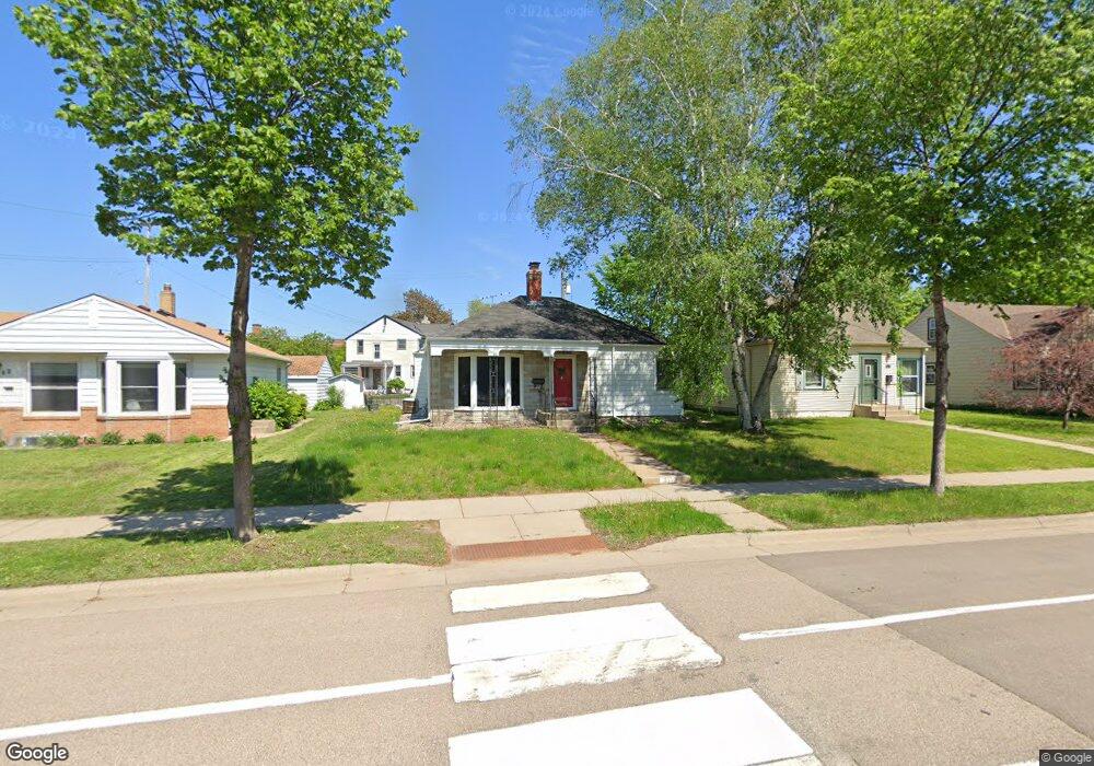
844 Saint Paul Ave Saint Paul, MN 55116
Highland Park NeighborhoodEstimated Value: $399,392 - $434,000
3
Beds
2
Baths
1,840
Sq Ft
$226/Sq Ft
Est. Value
About This Home
This home is located at 844 Saint Paul Ave, Saint Paul, MN 55116 and is currently estimated at $415,098, approximately $225 per square foot. 844 Saint Paul Ave is a home located in Ramsey County with nearby schools including Horace Mann School, Highland Park Middle School, and Highland Park Senior High.
Ownership History
Date
Name
Owned For
Owner Type
Purchase Details
Closed on
Oct 8, 2021
Sold by
Addison Marlenis D
Bought by
Nyland Adam C and Nyland Mickalace
Current Estimated Value
Home Financials for this Owner
Home Financials are based on the most recent Mortgage that was taken out on this home.
Original Mortgage
$327,750
Interest Rate
3.09%
Mortgage Type
New Conventional
Purchase Details
Closed on
Jun 14, 2002
Sold by
Schoak Genevieve M
Bought by
Addison Marlenis A
Create a Home Valuation Report for This Property
The Home Valuation Report is an in-depth analysis detailing your home's value as well as a comparison with similar homes in the area
Home Values in the Area
Average Home Value in this Area
Purchase History
| Date | Buyer | Sale Price | Title Company |
|---|---|---|---|
| Nyland Adam C | $345,000 | Burnet Title | |
| Addison Marlenis A | $175,000 | -- |
Source: Public Records
Mortgage History
| Date | Status | Borrower | Loan Amount |
|---|---|---|---|
| Previous Owner | Nyland Adam C | $327,750 |
Source: Public Records
Tax History Compared to Growth
Tax History
| Year | Tax Paid | Tax Assessment Tax Assessment Total Assessment is a certain percentage of the fair market value that is determined by local assessors to be the total taxable value of land and additions on the property. | Land | Improvement |
|---|---|---|---|---|
| 2025 | $5,198 | $356,800 | $62,600 | $294,200 |
| 2023 | $5,198 | $340,000 | $62,600 | $277,400 |
| 2022 | $3,714 | $326,700 | $62,600 | $264,100 |
| 2021 | $3,750 | $240,800 | $62,600 | $178,200 |
| 2020 | $4,334 | $239,100 | $62,600 | $176,500 |
| 2019 | $4,234 | $251,700 | $62,600 | $189,100 |
| 2018 | $3,666 | $243,900 | $62,600 | $181,300 |
| 2017 | $3,504 | $225,900 | $62,600 | $163,300 |
| 2016 | $3,008 | $0 | $0 | $0 |
| 2015 | $2,878 | $178,200 | $50,800 | $127,400 |
| 2014 | $3,062 | $0 | $0 | $0 |
Source: Public Records
Map
Nearby Homes
- 2046 Montreal Ave
- 1941 Ford Pkwy Unit 102
- 875 Falls Passage W Unit C
- 1841 W Saunders Ave
- 870 Mount Curve Blvd Unit L
- 909 Mount Curve Blvd Unit F
- 909 Mount Curve Blvd Unit I
- 896 Mississippi River Blvd S
- 878 Mississippi River Blvd S
- 1075 Saint Paul Ave
- 906 S Woodlawn Ave Unit H
- 906 S Woodlawn Ave Unit E
- 1065 Colby St
- 842 S Woodlawn Ave
- 840 S Woodlawn Ave
- 1778 Ford Pkwy
- 1776 Ford Pkwy
- 956 Mississippi River Blvd S
- 1752 Bohland Ave
- 590 Cretin Ave S
- 848 Saint Paul Ave
- 842 St Paul Ave
- 842 Saint Paul Ave
- 852 Saint Paul Ave
- 840 St Paul Ave
- 845 Wilder St S
- 856 Saint Paul Ave
- 849 Wilder St S
- 860 Saint Paul Ave
- 853 Wilder St S
- 857 Wilder St S
- 864 Saint Paul Ave
- 845 Cleveland Ave S
- 859 St Paul Ave Unit 10
- 868 Saint Paul Ave
- 850 Wilder St S
- 865 Wilder St S
- 854 Wilder St S
- 858 Wilder St S
- 880 Cleveland Ave S Unit 1