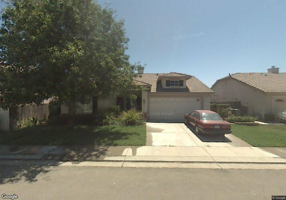
845 Browning Cir Woodland, CA 95776
Estimated Value: $391,000 - $542,000
3
Beds
2
Baths
1,447
Sq Ft
$340/Sq Ft
Est. Value
About This Home
This home is located at 845 Browning Cir, Woodland, CA 95776 and is currently estimated at $491,353, approximately $339 per square foot. 845 Browning Cir is a home located in Yolo County with nearby schools including Ramon S. Tafoya Elementary School, Douglass Middle School, and Pioneer High School.
Ownership History
Date
Name
Owned For
Owner Type
Purchase Details
Closed on
Feb 12, 1998
Sold by
Lennar Sacramento Inc
Bought by
Bezas Anna S and Bezas Steve
Current Estimated Value
Home Financials for this Owner
Home Financials are based on the most recent Mortgage that was taken out on this home.
Original Mortgage
$136,214
Interest Rate
6.97%
Mortgage Type
FHA
Create a Home Valuation Report for This Property
The Home Valuation Report is an in-depth analysis detailing your home's value as well as a comparison with similar homes in the area
Home Values in the Area
Average Home Value in this Area
Purchase History
| Date | Buyer | Sale Price | Title Company |
|---|---|---|---|
| Bezas Anna S | $139,000 | First American Title Ins Co |
Source: Public Records
Mortgage History
| Date | Status | Borrower | Loan Amount |
|---|---|---|---|
| Previous Owner | Bezas Anna S | $136,214 |
Source: Public Records
Tax History Compared to Growth
Tax History
| Year | Tax Paid | Tax Assessment Tax Assessment Total Assessment is a certain percentage of the fair market value that is determined by local assessors to be the total taxable value of land and additions on the property. | Land | Improvement |
|---|---|---|---|---|
| 2025 | $2,791 | $221,902 | $83,813 | $138,089 |
| 2023 | $2,791 | $213,287 | $80,559 | $132,728 |
| 2022 | $3,001 | $209,106 | $78,980 | $130,126 |
| 2021 | $2,965 | $205,007 | $77,432 | $127,575 |
| 2020 | $2,932 | $202,906 | $76,639 | $126,267 |
| 2019 | $2,882 | $198,929 | $75,137 | $123,792 |
| 2018 | $2,853 | $195,029 | $73,664 | $121,365 |
| 2017 | $2,799 | $191,206 | $72,220 | $118,986 |
| 2016 | $2,752 | $187,457 | $70,804 | $116,653 |
| 2015 | $2,679 | $184,642 | $69,741 | $114,901 |
| 2014 | $2,679 | $181,026 | $68,375 | $112,651 |
Source: Public Records
Map
Nearby Homes
- 1967 Hawkins Ct
- 1840 E Gum Ave
- 737 Farnham Ave
- 1988 Hackett Dr
- 976 Huston Cir
- 1808 Farnham Ave
- 2120 Freeway Dr
- 1729 Lee Dr
- 1060 Powers Cir
- Residence 1709 Plan at Ruby Cottages
- Residence 2117 Plan at Ruby Cottages
- Residence 1943 Plan at Ruby Cottages
- 2712 Farmers Central Rd
- 2001 Baker Place
- 2021 Santos St
- 1414 St Louis Way
- 1422 St Louis Way
- 1607 Motta St
- 1455 Willow Springs Dr
- 1446 Peterson Dr
- 849 Browning Cir
- 876 Kincheloe Dr
- 880 Kincheloe Dr
- 22 Mulcahy Ct
- 18 Mulcahy Ct
- 853 Browning Cir
- 844 Browning Cir
- 848 Browning Cir
- 884 Kincheloe Dr
- 840 Browning Cir
- 26 Mulcahy Ct
- 852 Browning Cir
- 857 Browning Cir
- 888 Kincheloe Dr
- 14 Mulcahy Ct
- 30 Mulcahy Ct
- 856 Browning Cir
- 1980 Hershey Dr
- 1984 Hershey Dr
- 1976 Hershey Dr