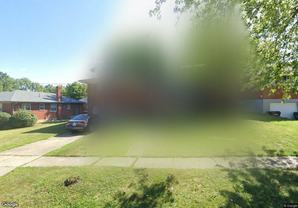
8452 Mockingbird Ln Cincinnati, OH 45231
Finneytown NeighborhoodEstimated Value: $216,915 - $240,000
3
Beds
1
Bath
1,516
Sq Ft
$152/Sq Ft
Est. Value
About This Home
This home is located at 8452 Mockingbird Ln, Cincinnati, OH 45231 and is currently estimated at $229,979, approximately $151 per square foot. 8452 Mockingbird Ln is a home located in Hamilton County with nearby schools including Finneytown Elementary School, Finneytown Secondary Campus, and St. Vivian School.
Create a Home Valuation Report for This Property
The Home Valuation Report is an in-depth analysis detailing your home's value as well as a comparison with similar homes in the area
Home Values in the Area
Average Home Value in this Area
Tax History
| Year | Tax Paid | Tax Assessment Tax Assessment Total Assessment is a certain percentage of the fair market value that is determined by local assessors to be the total taxable value of land and additions on the property. | Land | Improvement |
|---|---|---|---|---|
| 2025 | $4,021 | $55,710 | $11,547 | $44,163 |
| 2023 | $3,877 | $55,710 | $11,547 | $44,163 |
| 2022 | $3,529 | $36,834 | $9,086 | $27,748 |
| 2021 | $3,535 | $36,834 | $9,086 | $27,748 |
| 2020 | $3,501 | $36,834 | $9,086 | $27,748 |
| 2019 | $3,237 | $31,217 | $7,700 | $23,517 |
| 2018 | $2,996 | $31,217 | $7,700 | $23,517 |
| 2017 | $2,899 | $31,217 | $7,700 | $23,517 |
| 2016 | $2,840 | $29,688 | $7,739 | $21,949 |
| 2015 | $2,812 | $29,688 | $7,739 | $21,949 |
| 2014 | $2,809 | $29,688 | $7,739 | $21,949 |
| 2013 | $2,774 | $30,293 | $7,896 | $22,397 |
Source: Public Records
Map
Nearby Homes
- 8433 Jonfred Ct
- 1025 Eastgate Dr
- 1052 Vacationland Dr
- 8663 Mockingbird Ln
- 8693 Mockingbird Ln
- 8311 Daly Rd
- 1116 Madeleine Cir
- 8609 Balboa Dr
- 1125 Murkett Ct
- 7909 Burgundy Ln
- 8829 Mockingbird Ln
- 958 Hollytree Dr
- 1285 Landis Ln
- 1202 Ashmore Ct
- 838 W Galbraith Rd
- 1101 Meadowind Ct
- 833 W Galbraith Rd
- 7923 Bobolink Dr
- 1280 Brushwood Ave
- 7929 Cherrywood Ct
- 8446 Mockingbird Ln
- 1069 Thunderhill Dr
- 1069 Thunderbird Ave
- 1063 Thunderbird Ave
- 8438 Mockingbird Ln
- 1064 Pelican Dr
- 1059 Thunderbird Ave
- 8449 Mockingbird Ln
- 1056 Pelican Dr
- 8465 Mockingbird Ln
- 8441 Mockingbird Ln
- 8478 Mockingbird Ln
- 1053 Thunderbird Ave
- 1048 Pelican Dr
- 8473 Mockingbird Ln
- 8433 Mockingbird Ln
- 1071 Pelican Dr
- 1058 Thunderbird Ave
- 8425 Mockingbird Ln
- 1047 Thunderbird Ave