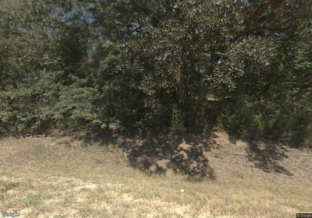
846 N 1909th Rd Lecompton, KS 66050
Scenic Riverway NeighborhoodEstimated Value: $527,226 - $696,000
2
Beds
3
Baths
2,776
Sq Ft
$224/Sq Ft
Est. Value
About This Home
This home is located at 846 N 1909th Rd, Lecompton, KS 66050 and is currently estimated at $622,409, approximately $224 per square foot. 846 N 1909th Rd is a home located in Douglas County with nearby schools including Lecompton Elementary School, Perry-Lecompton Middle School, and Perry-Lecompton High School.
Ownership History
Date
Name
Owned For
Owner Type
Purchase Details
Closed on
Apr 1, 2011
Sold by
Dawson Christopher and Dawson Dawn L
Bought by
Parent Wendy S and Johnson Richard
Current Estimated Value
Home Financials for this Owner
Home Financials are based on the most recent Mortgage that was taken out on this home.
Original Mortgage
$261,206
Outstanding Balance
$182,217
Interest Rate
5.04%
Mortgage Type
FHA
Estimated Equity
$440,192
Purchase Details
Closed on
Apr 2, 2003
Sold by
Zuck Lloyd George and Zuck Carolyn N
Bought by
Dawson Christopher
Home Financials for this Owner
Home Financials are based on the most recent Mortgage that was taken out on this home.
Original Mortgage
$179,200
Interest Rate
5.71%
Mortgage Type
Purchase Money Mortgage
Create a Home Valuation Report for This Property
The Home Valuation Report is an in-depth analysis detailing your home's value as well as a comparison with similar homes in the area
Home Values in the Area
Average Home Value in this Area
Purchase History
| Date | Buyer | Sale Price | Title Company |
|---|---|---|---|
| Parent Wendy S | -- | Continental Title Company | |
| Dawson Christopher | -- | Kansas Secured Title |
Source: Public Records
Mortgage History
| Date | Status | Borrower | Loan Amount |
|---|---|---|---|
| Open | Parent Wendy S | $261,206 | |
| Previous Owner | Dawson Christopher | $179,200 | |
| Closed | Dawson Christopher | $22,400 |
Source: Public Records
Tax History
| Year | Tax Paid | Tax Assessment Tax Assessment Total Assessment is a certain percentage of the fair market value that is determined by local assessors to be the total taxable value of land and additions on the property. | Land | Improvement |
|---|---|---|---|---|
| 2025 | $5,885 | $51,417 | $8,970 | $42,447 |
| 2024 | $5,718 | $50,072 | $8,683 | $41,389 |
| 2023 | $5,797 | $49,002 | $8,108 | $40,894 |
| 2022 | $5,607 | $45,805 | $6,958 | $38,847 |
| 2021 | $4,713 | $36,916 | $6,843 | $30,073 |
| 2020 | $4,518 | $35,960 | $6,843 | $29,117 |
| 2019 | $4,294 | $34,248 | $6,613 | $27,635 |
| 2018 | $4,226 | $33,623 | $6,532 | $27,091 |
| 2017 | $4,216 | $33,365 | $6,532 | $26,833 |
| 2016 | $4,021 | $32,350 | $7,475 | $24,875 |
| 2015 | $3,925 | $32,154 | $7,475 | $24,679 |
| 2014 | $3,921 | $32,200 | $7,475 | $24,725 |
Source: Public Records
Map
Nearby Homes
- 1884 E 978th Rd
- 0000 N 1851 Diag Rd
- 663 N 1851 Diag Rd
- 6800 Lakeview Rd
- 1825 E 600 Rd
- 1792 E 1068 Rd
- 323 N Eaton Dr
- 0000 E 600 Rd
- 326 Parker Cir
- 908 & 910 Alma Dr
- 5616 Maggie Way
- Lot 2 N Running Ridge Rd
- 237 Landon Ct
- 420 E Woodson Ave
- 326 Isacks St
- 5245 Overland Dr Unit B23
- 615 N Pennycress Dr
- 732 N Blazing Star Dr
- 00000 Vacant - Phillips Rd
- 6309 Serenade Ct
- 846 N 1909 Rd
- 849 N 1909th Rd
- 847 N 1909th Rd
- 1914 E 850th Rd
- 1910 E 845 Rd Unit S
- 1920 E 845 Rd Unit N
- 845 N 1909th Rd
- 836 N 1917th Rd
- 1945 E 845th Rd
- 1902 E 850th Rd
- 0000 N 1917 Rd
- 1896 E 850th Rd
- 882 N 1886 Rd
- 1932 E 845th Rd
- 882 N 1886th Rd
- 848 N 1925th Rd
- blk1 Lot 17 E 850 Rd
- 1924 E 850th Rd
- 1881 E 850th Rd
- 880 N 1886 Rd
