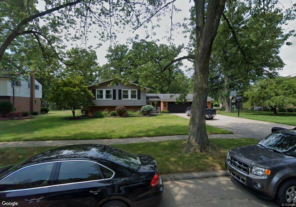
8461 Burning Bush Rd Grosse Ile, MI 48138
Estimated Value: $345,498 - $426,000
--
Bed
1
Bath
2,300
Sq Ft
$167/Sq Ft
Est. Value
About This Home
This home is located at 8461 Burning Bush Rd, Grosse Ile, MI 48138 and is currently estimated at $384,625, approximately $167 per square foot. 8461 Burning Bush Rd is a home located in Wayne County with nearby schools including St. Cyprian Elementary School.
Ownership History
Date
Name
Owned For
Owner Type
Purchase Details
Closed on
Mar 30, 2020
Sold by
Curry Rene Frank and Curry Mitzi E
Bought by
Tsouris George
Current Estimated Value
Home Financials for this Owner
Home Financials are based on the most recent Mortgage that was taken out on this home.
Original Mortgage
$100,000
Outstanding Balance
$69,759
Interest Rate
3.5%
Mortgage Type
New Conventional
Estimated Equity
$314,866
Create a Home Valuation Report for This Property
The Home Valuation Report is an in-depth analysis detailing your home's value as well as a comparison with similar homes in the area
Home Values in the Area
Average Home Value in this Area
Purchase History
| Date | Buyer | Sale Price | Title Company |
|---|---|---|---|
| Tsouris George | $215,000 | First American Title Ins Co |
Source: Public Records
Mortgage History
| Date | Status | Borrower | Loan Amount |
|---|---|---|---|
| Open | Tsouris George | $100,000 |
Source: Public Records
Tax History Compared to Growth
Tax History
| Year | Tax Paid | Tax Assessment Tax Assessment Total Assessment is a certain percentage of the fair market value that is determined by local assessors to be the total taxable value of land and additions on the property. | Land | Improvement |
|---|---|---|---|---|
| 2025 | $2,160 | $172,700 | $0 | $0 |
| 2024 | $2,160 | $152,200 | $0 | $0 |
| 2023 | $2,470 | $139,700 | $0 | $0 |
| 2022 | $5,749 | $128,900 | $0 | $0 |
| 2021 | $5,593 | $126,900 | $0 | $0 |
| 2019 | $4,415 | $110,800 | $0 | $0 |
| 2018 | $1,898 | $113,200 | $0 | $0 |
| 2017 | $4,902 | $108,800 | $0 | $0 |
| 2016 | $4,338 | $107,000 | $0 | $0 |
| 2015 | $9,239 | $97,200 | $0 | $0 |
| 2013 | $8,950 | $93,300 | $0 | $0 |
| 2012 | $1,904 | $88,100 | $21,200 | $66,900 |
Source: Public Records
Map
Nearby Homes
- 21644 Knudsen Dr
- 21819 Meridian Rd
- 22015 Ember Ct
- 8614 Island Blvd
- 22133 Meridian Rd
- 8232 Island Blvd
- 21321 Knudsen Dr
- 9281 Island Dr
- 21071 Thorofare Rd
- 21438 Meridian Rd
- 21599 Parke Ln
- 7806 Island Blvd
- 21604 E River Rd
- 9447 Whitall Ln
- 22220 E River Rd
- 9000 Ferry Rd
- 8855 Ferry Rd
- 0 Ferry Rd Unit 20250033371
- Lot 503 Gi Pkwy
- 00000 Magnolia Ln
- 8447 Burning Bush Rd
- 8475 Burning Bush Rd
- 8539 Hampton Rd
- 21755 Knudsen Dr
- 21767 Knudsen Dr
- 21735 Knudsen Dr
- 8495 Hampton Rd
- 21783 Knudsen Dr
- 8433 Burning Bush Rd
- 8419 Burning Bush Rd
- 8475 Hampton Rd
- 8412 Burning Bush Rd
- 21797 Knudsen Dr
- 21675 Knudsen Dr
- 8522 Hampton Rd
- 8463 Hampton Rd
- 8508 Hampton Rd
- 8366 Burning Bush Rd
- 21748 Knudsen Dr
- 21817 Knudsen Dr