847 Gilsum Mine Rd Alstead, NH 03602
Estimated Value: $359,000 - $455,000
3
Beds
2
Baths
2,312
Sq Ft
$176/Sq Ft
Est. Value
About This Home
This home is located at 847 Gilsum Mine Rd, Alstead, NH 03602 and is currently estimated at $406,754, approximately $175 per square foot. 847 Gilsum Mine Rd is a home located in Cheshire County with nearby schools including Alstead Primary School, Vilas Elementary School, and Fall Mountain Regional High School.
Ownership History
Date
Name
Owned For
Owner Type
Purchase Details
Closed on
Apr 16, 2008
Sold by
Krablin-King Heather R
Bought by
Rhoades Trevor L and Hodgman Leeanne M
Current Estimated Value
Home Financials for this Owner
Home Financials are based on the most recent Mortgage that was taken out on this home.
Original Mortgage
$135,000
Outstanding Balance
$86,095
Interest Rate
6.1%
Mortgage Type
Purchase Money Mortgage
Estimated Equity
$320,659
Purchase Details
Closed on
Jul 1, 2004
Sold by
Ruffo Kimberly A Est
Bought by
Krablin-King Heather R
Home Financials for this Owner
Home Financials are based on the most recent Mortgage that was taken out on this home.
Original Mortgage
$149,150
Interest Rate
6.3%
Mortgage Type
Purchase Money Mortgage
Create a Home Valuation Report for This Property
The Home Valuation Report is an in-depth analysis detailing your home's value as well as a comparison with similar homes in the area
Home Values in the Area
Average Home Value in this Area
Purchase History
| Date | Buyer | Sale Price | Title Company |
|---|---|---|---|
| Rhoades Trevor L | $178,000 | -- | |
| Krablin-King Heather R | $157,000 | -- |
Source: Public Records
Mortgage History
| Date | Status | Borrower | Loan Amount |
|---|---|---|---|
| Open | Krablin-King Heather R | $135,000 | |
| Previous Owner | Krablin-King Heather R | $149,150 |
Source: Public Records
Tax History Compared to Growth
Tax History
| Year | Tax Paid | Tax Assessment Tax Assessment Total Assessment is a certain percentage of the fair market value that is determined by local assessors to be the total taxable value of land and additions on the property. | Land | Improvement |
|---|---|---|---|---|
| 2024 | $6,062 | $224,700 | $58,900 | $165,800 |
| 2023 | $5,714 | $224,700 | $58,900 | $165,800 |
| 2022 | $5,537 | $224,700 | $58,900 | $165,800 |
| 2021 | $5,224 | $224,700 | $58,900 | $165,800 |
| 2020 | $5,487 | $224,700 | $58,900 | $165,800 |
| 2019 | $5,395 | $193,700 | $41,300 | $152,400 |
| 2018 | $5,240 | $193,700 | $41,300 | $152,400 |
| 2017 | $5,174 | $194,000 | $41,300 | $152,700 |
| 2016 | $5,221 | $194,000 | $41,300 | $152,700 |
| 2015 | $5,147 | $194,000 | $41,300 | $152,700 |
| 2014 | $5,153 | $216,500 | $47,400 | $169,100 |
| 2013 | $5,802 | $216,500 | $47,400 | $169,100 |
Source: Public Records
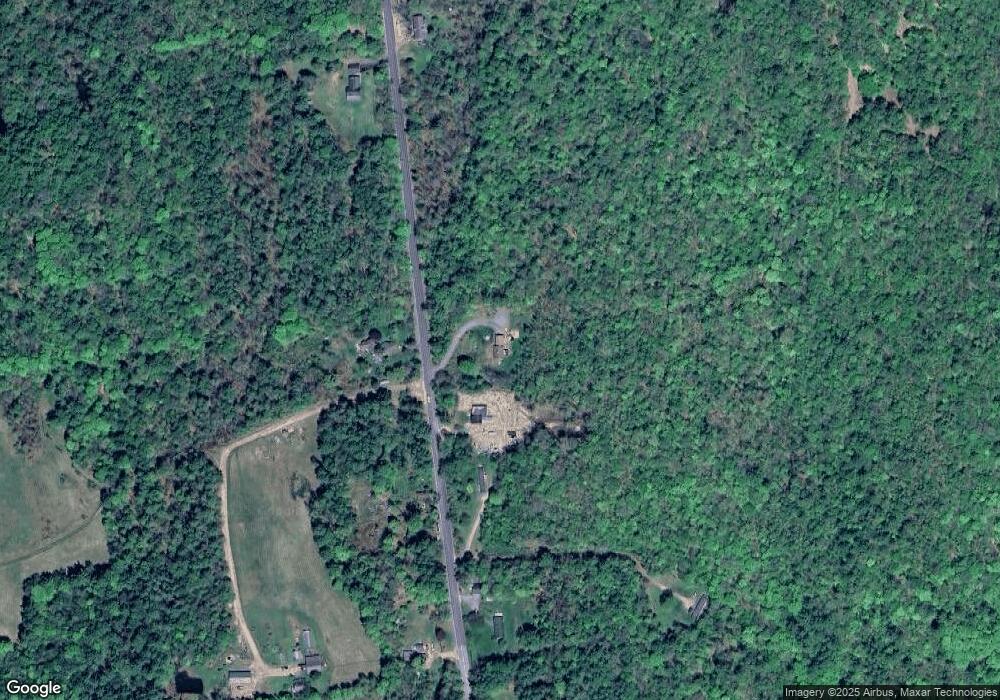
Map
Nearby Homes
- 0 New Hampshire 10 Unit 7
- 29&31 White Brook Rd
- 32 Blueberry Hill Ln
- 27 Shadowland Rd
- 1100 Route 12a
- 00 Alstead Center Rd
- 33 Maclean Rd
- 96 Maclean Rd
- 603 Route 12a
- 178 North Rd
- 28 Village Rd
- 24 Village Rd
- 473 Pratt Rd
- 6 Mill St
- 172 Nh-Rte 123 Route
- Lot 53 Apple Hill Rd
- 24 White Brook Dr
- 225B Belvedere Rd Unit B
- Lot 4 Belvedere Rd
- 105 South Rd
- 857 Gilsum Mine Rd
- 842 Gilsum Mine Rd
- 807 Gilsum Mine Rd
- 879 Gilsum Mine Rd
- 160 Alstead Hill Rd
- 141 Alstead Hill Rd
- 822 Gilsum Mine Rd
- 138 Alstead Hill Rd
- 0 Baine Unit 4657472
- 0 Baine Unit 4976991
- 19 Hayward Brook Dr
- 30 Hayward Brook Dr
- 25 Hayward Brook Dr
- 118 Alstead Hill Rd
- 776 Gilsum Mine Rd
- 115 Alstead Hill Rd
- 34 Hayward Brook Dr
- 110 Alstead Hill Rd
- 37 Hayward Brook Dr
- 109 Alstead Hill Rd