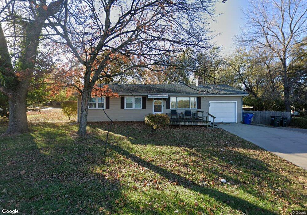
847 Rockledge Rd Lawrence, KS 66049
Sunset Hills NeighborhoodEstimated Value: $247,000 - $263,000
3
Beds
2
Baths
1,156
Sq Ft
$222/Sq Ft
Est. Value
About This Home
This home is located at 847 Rockledge Rd, Lawrence, KS 66049 and is currently estimated at $256,734, approximately $222 per square foot. 847 Rockledge Rd is a home located in Douglas County with nearby schools including Sunset Hill Elementary School, West Middle School, and Lawrence Free State High School.
Ownership History
Date
Name
Owned For
Owner Type
Purchase Details
Closed on
Jul 29, 2005
Sold by
Hickam Everett George and Hickam Freda Mae
Bought by
White Kevin and White Kim
Current Estimated Value
Home Financials for this Owner
Home Financials are based on the most recent Mortgage that was taken out on this home.
Original Mortgage
$100,000
Outstanding Balance
$52,362
Interest Rate
5.61%
Mortgage Type
Fannie Mae Freddie Mac
Estimated Equity
$204,372
Purchase Details
Closed on
Jan 18, 2001
Sold by
Hickam Everett George and Hickam Freda Mae
Bought by
Hickam Everett George and Hickam Freda Mae
Create a Home Valuation Report for This Property
The Home Valuation Report is an in-depth analysis detailing your home's value as well as a comparison with similar homes in the area
Home Values in the Area
Average Home Value in this Area
Purchase History
| Date | Buyer | Sale Price | Title Company |
|---|---|---|---|
| White Kevin | -- | Kansas Secured Title | |
| Hickam Everett George | -- | -- |
Source: Public Records
Mortgage History
| Date | Status | Borrower | Loan Amount |
|---|---|---|---|
| Open | White Kevin | $100,000 |
Source: Public Records
Tax History
| Year | Tax Paid | Tax Assessment Tax Assessment Total Assessment is a certain percentage of the fair market value that is determined by local assessors to be the total taxable value of land and additions on the property. | Land | Improvement |
|---|---|---|---|---|
| 2025 | $3,669 | $29,958 | $7,475 | $22,483 |
| 2024 | $3,431 | $28,083 | $5,750 | $22,333 |
| 2023 | $3,218 | $25,277 | $5,520 | $19,757 |
| 2022 | $2,926 | $22,868 | $4,830 | $18,038 |
| 2021 | $2,659 | $20,033 | $3,795 | $16,238 |
| 2020 | $2,436 | $18,469 | $3,795 | $14,674 |
| 2019 | $2,296 | $17,446 | $3,795 | $13,651 |
| 2018 | $2,147 | $16,215 | $3,680 | $12,535 |
| 2017 | $2,053 | $15,353 | $3,680 | $11,673 |
| 2016 | $1,897 | $14,835 | $3,680 | $11,155 |
| 2015 | -- | $14,789 | $3,680 | $11,109 |
| 2014 | -- | $14,375 | $3,680 | $10,695 |
Source: Public Records
Map
Nearby Homes
- 2407 Yale Rd
- 2915 W 7th St
- 3009 W 8th St
- 934 Pamela Ln
- 807 Lawrence Ave
- 1008 Lawrence Ave
- 2729 Stratford Rd
- 819 Crawford Dr
- 3007 Trail Rd
- 2124 Terrace Rd
- 3226 Cardinal Dr
- 0 Raintree Place
- 502 Millstone Dr
- 2822 University Dr
- 1321 Raintree Place
- 1036 Holiday Dr
- 302 Providence Rd
- 515 McDonald Dr
- 3415 Trail Rd
- 726 Missouri St
- 1716 W 9th St
- 2508 W 9th St
- 845 Rockledge Rd
- 2503 W 9th St
- 2416 National Ln
- 2520 W 9th St
- 2511 W 9th St
- 2422 National Ln
- 902 Rockledge Rd
- 841 Rockledge Rd
- 2409 National Ln
- 2519 W 9th St
- 824 Crestline Dr
- 820 Crestline Dr
- 2415 National Ln
- 909 Rockledge Rd
- 2421 National Ln
- 908 Rockledge Rd
- 2510 W 9th Terrace
- 2527 W 9th St
Your Personal Tour Guide
Ask me questions while you tour the home.