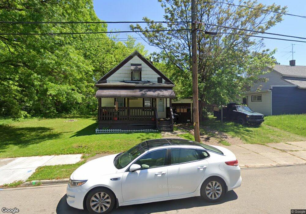
847 Sherman St Akron, OH 44311
South Akron NeighborhoodEstimated Value: $51,000 - $54,973
2
Beds
1
Bath
520
Sq Ft
$102/Sq Ft
Est. Value
About This Home
This home is located at 847 Sherman St, Akron, OH 44311 and is currently estimated at $52,993, approximately $101 per square foot. 847 Sherman St is a home located in Summit County with nearby schools including North High School, Main Preparatory Academy, and St. Bernard-St. Mary Elementary School.
Ownership History
Date
Name
Owned For
Owner Type
Purchase Details
Closed on
Sep 3, 2025
Sold by
M & D Iii Rental Properties Ltd
Bought by
Donato Lorraine
Current Estimated Value
Purchase Details
Closed on
Feb 6, 2001
Sold by
Donahue Michael J and Mazur William F
Bought by
M & D Iii Rental Properties Ltd
Purchase Details
Closed on
Apr 26, 2000
Sold by
Odonnell Ronald James
Bought by
Donahue Michael J and Mazur William F
Home Financials for this Owner
Home Financials are based on the most recent Mortgage that was taken out on this home.
Original Mortgage
$21,000
Interest Rate
10.3%
Create a Home Valuation Report for This Property
The Home Valuation Report is an in-depth analysis detailing your home's value as well as a comparison with similar homes in the area
Home Values in the Area
Average Home Value in this Area
Purchase History
| Date | Buyer | Sale Price | Title Company |
|---|---|---|---|
| Donato Lorraine | $52,000 | None Listed On Document | |
| M & D Iii Rental Properties Ltd | -- | -- | |
| Donahue Michael J | $30,000 | Tri County Title |
Source: Public Records
Mortgage History
| Date | Status | Borrower | Loan Amount |
|---|---|---|---|
| Previous Owner | Donahue Michael J | $21,000 |
Source: Public Records
Tax History
| Year | Tax Paid | Tax Assessment Tax Assessment Total Assessment is a certain percentage of the fair market value that is determined by local assessors to be the total taxable value of land and additions on the property. | Land | Improvement |
|---|---|---|---|---|
| 2025 | $695 | $10,465 | $2,142 | $8,323 |
| 2024 | $662 | $10,465 | $2,142 | $8,323 |
| 2023 | $695 | $10,465 | $2,142 | $8,323 |
| 2022 | $524 | $6,157 | $1,260 | $4,897 |
| 2021 | $478 | $6,157 | $1,260 | $4,897 |
| 2020 | $471 | $6,160 | $1,260 | $4,900 |
| 2019 | $706 | $7,460 | $2,350 | $5,110 |
| 2018 | $699 | $7,460 | $2,350 | $5,110 |
| 2017 | $667 | $7,460 | $2,350 | $5,110 |
| 2016 | $667 | $7,580 | $2,350 | $5,230 |
| 2015 | $667 | $7,580 | $2,350 | $5,230 |
| 2014 | $662 | $7,580 | $2,350 | $5,230 |
| 2013 | $782 | $9,450 | $2,350 | $7,100 |
Source: Public Records
Map
Nearby Homes
- 333 E Crosier St
- 337 E Crosier St
- 846 Sherman St
- 842 Sherman St
- 341 E Crosier St
- 323 E Crosier St
- 345 E Crosier St
- 350 Jewell Dr
- 319 E Crosier St
- 834 1/2 Sherman St
- 352 Jewell Dr
- 827 Sherman St
- 351 E Crosier St
- 315 E Crosier St
- 830 Sherman St
- 354 Jewell Dr
- 334 E Crosier St
- 353 E Crosier St
- 828 Sherman St
- 344 E Crosier St
Your Personal Tour Guide
Ask me questions while you tour the home.