8470 Elysium Dr Lanexa, VA 23089
Estimated Value: $482,000 - $578,000
3
Beds
3
Baths
1,988
Sq Ft
$265/Sq Ft
Est. Value
About This Home
This home is located at 8470 Elysium Dr, Lanexa, VA 23089 and is currently estimated at $525,869, approximately $264 per square foot. 8470 Elysium Dr is a home with nearby schools including New Kent High School.
Ownership History
Date
Name
Owned For
Owner Type
Purchase Details
Closed on
Jan 18, 2019
Sold by
Haupt G Henry and Haupt Carolyn C
Bought by
Leyda William T and Leyda Karen L
Current Estimated Value
Home Financials for this Owner
Home Financials are based on the most recent Mortgage that was taken out on this home.
Original Mortgage
$49,600
Outstanding Balance
$43,609
Interest Rate
4.6%
Mortgage Type
Commercial
Estimated Equity
$482,260
Purchase Details
Closed on
May 13, 2015
Sold by
Talleysville Land & Timber Llc
Bought by
Haupt G Henry G and Haupt Carolyn C
Create a Home Valuation Report for This Property
The Home Valuation Report is an in-depth analysis detailing your home's value as well as a comparison with similar homes in the area
Home Values in the Area
Average Home Value in this Area
Purchase History
| Date | Buyer | Sale Price | Title Company |
|---|---|---|---|
| Leyda William T | $62,000 | None Available | |
| Haupt G Henry G | $25,300 | -- |
Source: Public Records
Mortgage History
| Date | Status | Borrower | Loan Amount |
|---|---|---|---|
| Open | Leyda William T | $49,600 |
Source: Public Records
Tax History
| Year | Tax Paid | Tax Assessment Tax Assessment Total Assessment is a certain percentage of the fair market value that is determined by local assessors to be the total taxable value of land and additions on the property. | Land | Improvement |
|---|---|---|---|---|
| 2025 | $3,003 | $500,500 | $123,900 | $376,600 |
| 2024 | $2,953 | $500,500 | $123,900 | $376,600 |
| 2023 | $2,861 | $427,000 | $68,700 | $358,300 |
| 2022 | $286 | $427,000 | $68,700 | $358,300 |
| 2021 | $2,512 | $318,000 | $61,700 | $256,300 |
| 2020 | $487 | $318,000 | $61,700 | $256,300 |
| 2019 | $519 | $63,300 | $63,300 | $0 |
| 2018 | $519 | $63,300 | $63,300 | $0 |
| 2017 | $696 | $83,800 | $83,800 | $0 |
| 2016 | $696 | $83,800 | $83,800 | $0 |
| 2015 | $779 | $92,700 | $92,700 | $0 |
| 2014 | -- | $92,700 | $92,700 | $0 |
Source: Public Records
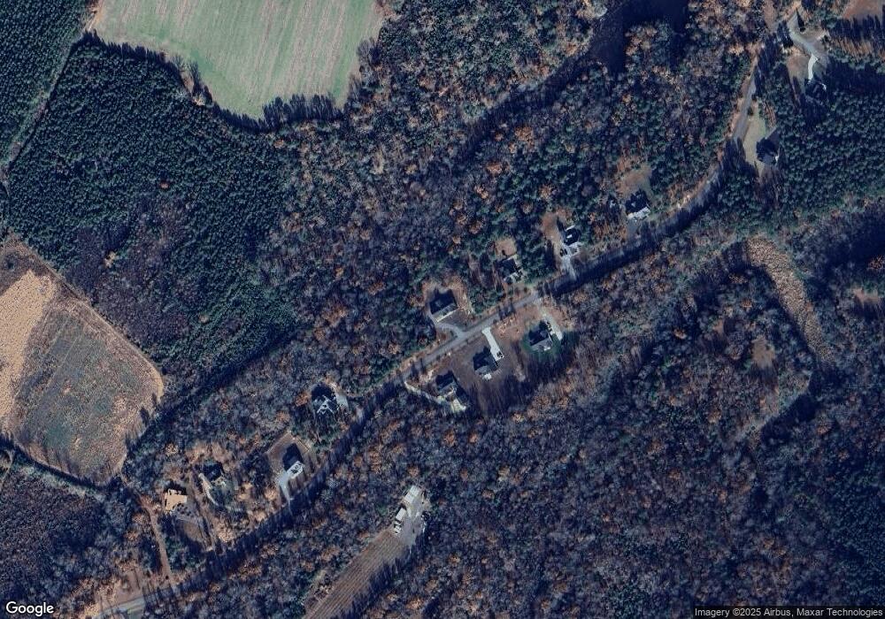
Map
Nearby Homes
- 8325 Mill Creek Rd Unit A
- 14621 Stage Rd
- 19543 Westall Ln
- 19546 Westall Ln
- 4090 Dogwood Dr
- TBD Squirrel Hollow Ln
- 8020 Station Point Dr
- 19390 York Rd
- 7957 Pennsylvania Ave
- 7969 Pennsylvania Ave
- Lot 52G Georgia Ave
- TBD King William Rd
- 322 12th St
- 3109 Taylor Ave
- .21ac King William Ave
- Lot 24 King William Ave
- Lot 25 King William Ave
- 6240 Farmers Dr
- 5.1+AC High Bluff Ln
- 000 High Bluff Ln
- LOT#11 Elysium
- 11 Elysium Dr
- Lot 22 Elysium Dr
- Lot 12 Elysium Dr
- Lot 23 Elysium Dr
- LOT 26 Elysium Dr
- 22 Elysium
- Lot 19 Elysium Dr
- Lot 15 Elysium Dr
- Lot 16 Elysium Dr
- Lot 17 Elysium Dr
- Lot 18 Elysium Dr
- 0 Elysium Dr Unit 30045344
- 0 Elysium Dr Unit 1711525
- Lot 11 Elysium Dr
- Lot 14 Elysium Dr
- LOT 21 Elysium Dr
- 0 Elysium Dr Unit 1507720
- 0 Elysium Dr Unit 1728906
- 8520 Elysium Dr
Your Personal Tour Guide
Ask me questions while you tour the home.