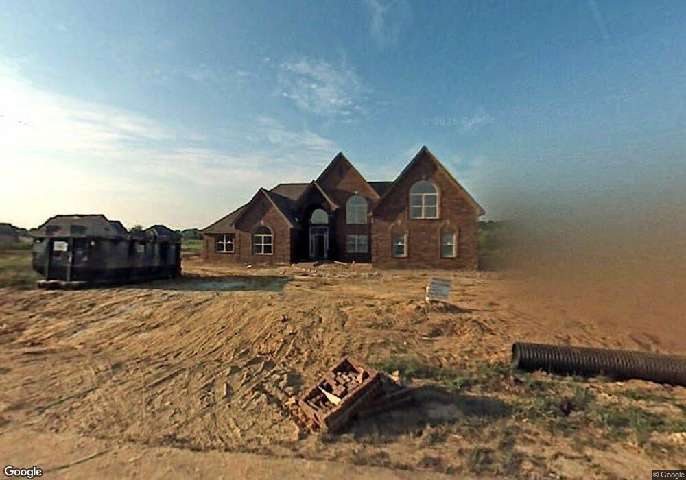
8476 Birdsong Ln Olive Branch, MS 38654
Pleasant Hill NeighborhoodEstimated Value: $391,000 - $454,000
5
Beds
4
Baths
3,417
Sq Ft
$125/Sq Ft
Est. Value
About This Home
This home is located at 8476 Birdsong Ln, Olive Branch, MS 38654 and is currently estimated at $426,842, approximately $124 per square foot. 8476 Birdsong Ln is a home located in DeSoto County with nearby schools including Pleasant Hill Elementary School, DeSoto Central Middle School, and DeSoto Central High School.
Ownership History
Date
Name
Owned For
Owner Type
Purchase Details
Closed on
May 18, 2009
Sold by
Renasant Bank
Bought by
Key Dionne L
Current Estimated Value
Home Financials for this Owner
Home Financials are based on the most recent Mortgage that was taken out on this home.
Original Mortgage
$227,797
Outstanding Balance
$142,373
Interest Rate
4.81%
Mortgage Type
FHA
Estimated Equity
$284,469
Purchase Details
Closed on
May 7, 2008
Sold by
Security Builders Inc
Bought by
Renasant Bank
Create a Home Valuation Report for This Property
The Home Valuation Report is an in-depth analysis detailing your home's value as well as a comparison with similar homes in the area
Home Values in the Area
Average Home Value in this Area
Purchase History
| Date | Buyer | Sale Price | Title Company |
|---|---|---|---|
| Key Dionne L | -- | Preferred Title & Escrow Llc | |
| Renasant Bank | $225,000 | None Available |
Source: Public Records
Mortgage History
| Date | Status | Borrower | Loan Amount |
|---|---|---|---|
| Open | Key Dionne L | $227,797 |
Source: Public Records
Tax History Compared to Growth
Tax History
| Year | Tax Paid | Tax Assessment Tax Assessment Total Assessment is a certain percentage of the fair market value that is determined by local assessors to be the total taxable value of land and additions on the property. | Land | Improvement |
|---|---|---|---|---|
| 2025 | $4,167 | $30,535 | $3,000 | $27,535 |
| 2024 | $2,698 | $21,963 | $3,000 | $18,963 |
| 2023 | $2,698 | $21,963 | $0 | $0 |
| 2022 | $2,698 | $21,963 | $3,000 | $18,963 |
| 2021 | $2,698 | $21,963 | $3,000 | $18,963 |
| 2020 | $2,491 | $20,447 | $3,000 | $17,447 |
| 2019 | $2,491 | $20,447 | $3,000 | $17,447 |
| 2017 | $2,454 | $37,144 | $20,072 | $17,072 |
| 2016 | $2,454 | $21,588 | $3,000 | $18,588 |
| 2015 | $2,962 | $40,176 | $21,588 | $18,588 |
| 2014 | $2,662 | $21,588 | $0 | $0 |
| 2013 | $2,731 | $21,588 | $0 | $0 |
Source: Public Records
Map
Nearby Homes
- 4798 Shinault Ln
- 4350 Abele Cove
- 4335 Davall Cir
- 8605 Birnham Cove
- 4990 Witt Cove
- 4431 Mary Jane Dr
- Bristol Plan at Villages at Southbranch
- Lacombe Plan at Villages at Southbranch
- Cameron Plan at Villages at Southbranch
- Covington Plan at Villages at Southbranch
- CLIFTON Plan at Villages at Southbranch
- Denham Plan at Villages at Southbranch
- Dover Plan at Villages at Southbranch
- 8146 Wisteria Dr
- 5283 Borden Creek Dr
- 5287 Borden Creek Dr
- 5350 Bunyan Hill Dr
- 5368 Bunyan Hill Dr
- 5382 Bunyan Hill Dr
- 5400 Bunyan Hill Dr
- 8488 Birdsong Ln
- 8464 Birdsong Ln
- 8698 Ashley Dr
- 4630 Shinault Ln
- 8483 Birdsong Ln
- 8505 Birdsong Ln
- 8500 Birdsong Ln
- 8471 Birdsong Ln
- 8459 Birdsong Ln
- 54 Coleman Rd
- 4658 Shinault Ln
- 8512 Birdsong Ln
- 8524 Birdsong Ln
- 4703 Coleman Rd
- 8522 Ashley Cove
- 8522 Ashley Dr
- 87 Deer Run
- 4681 Coleman Rd
- 4589 Shinault Ln
- 4611 Shinault Ln