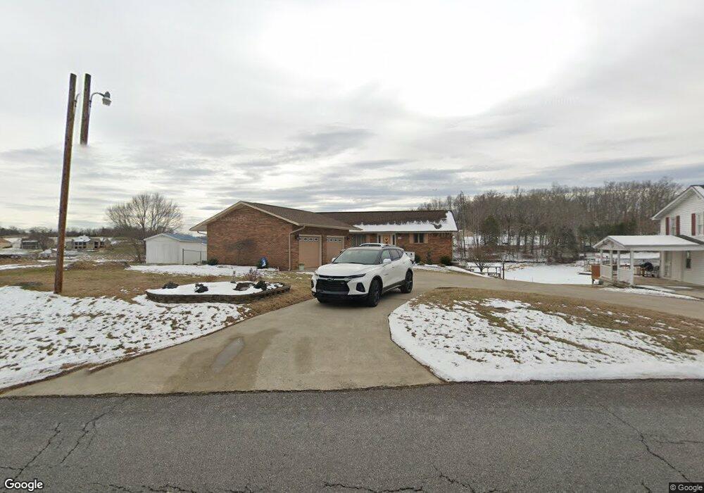
848 Hamilton Rd Blountville, TN 37617
Estimated Value: $403,192 - $604,000
--
Bed
3
Baths
2,185
Sq Ft
$237/Sq Ft
Est. Value
About This Home
This home is located at 848 Hamilton Rd, Blountville, TN 37617 and is currently estimated at $517,798, approximately $236 per square foot. 848 Hamilton Rd is a home located in Sullivan County with nearby schools including Holston Elementary School, Sullivan Central Middle School, and Tri-Cities Christian Academy.
Ownership History
Date
Name
Owned For
Owner Type
Purchase Details
Closed on
Oct 24, 2005
Sold by
Sullivan Development Inc
Bought by
Phill-Tenn Developers Llc
Current Estimated Value
Purchase Details
Closed on
Apr 3, 1998
Sold by
Phillips H L H and Phillips Debra L
Bought by
Phillips H L H and Phillips Debra L
Home Financials for this Owner
Home Financials are based on the most recent Mortgage that was taken out on this home.
Original Mortgage
$95,900
Interest Rate
7.14%
Purchase Details
Closed on
Jun 18, 1990
Create a Home Valuation Report for This Property
The Home Valuation Report is an in-depth analysis detailing your home's value as well as a comparison with similar homes in the area
Home Values in the Area
Average Home Value in this Area
Purchase History
| Date | Buyer | Sale Price | Title Company |
|---|---|---|---|
| Phill-Tenn Developers Llc | $42,110 | -- | |
| Phillips H L H | -- | -- | |
| -- | $58,000 | -- |
Source: Public Records
Mortgage History
| Date | Status | Borrower | Loan Amount |
|---|---|---|---|
| Previous Owner | -- | $95,900 |
Source: Public Records
Tax History Compared to Growth
Tax History
| Year | Tax Paid | Tax Assessment Tax Assessment Total Assessment is a certain percentage of the fair market value that is determined by local assessors to be the total taxable value of land and additions on the property. | Land | Improvement |
|---|---|---|---|---|
| 2024 | $1,607 | $64,375 | $8,025 | $56,350 |
| 2023 | $1,549 | $64,375 | $8,025 | $56,350 |
| 2022 | $1,549 | $64,375 | $8,025 | $56,350 |
| 2021 | $1,549 | $64,375 | $8,025 | $56,350 |
| 2020 | $1,557 | $64,375 | $8,025 | $56,350 |
| 2019 | $1,557 | $60,575 | $8,025 | $52,550 |
| 2018 | $1,545 | $60,575 | $8,025 | $52,550 |
| 2017 | $1,545 | $60,575 | $8,025 | $52,550 |
| 2016 | $1,577 | $61,225 | $8,000 | $53,225 |
| 2014 | $1,412 | $61,231 | $0 | $0 |
Source: Public Records
Map
Nearby Homes
- 780 Hamilton Rd Unit 6
- 780 Hamilton Rd Unit I-4
- 145 Grande Harbor Way
- 225 Forest Ln N
- 112 Cardinal Point
- 205 Forest Ct
- 164 Forest Ln N
- 156 Forest Ln N
- 148 Forest Ln S
- 205 Grande Harbor Way
- 191 Grande Harbor Way
- 290 Candy Creek Private Dr
- 129 Forest Ln N
- 295 Brown Cir
- 239 Brown Cir
- 1033 Haw Ridge Rd
- 341 Haw Ridge Rd E
- 412 Haw Ridge Rd E
- Tbd Yoakley Rd
- 200 Deck Ln Unit 1105
- 844 Hamilton Rd
- 854 Hamilton Rd
- 834 Hamilton Rd
- 860 Hamilton Rd
- 824 Hamilton Rd
- 824 Hamilton Rd Unit 15
- 816 Hamilton Rd
- 810 Hamilton Rd
- 817 Hamilton Rd
- 804 Hamilton Rd
- 788 Hamilton Rd
- 802 Hamilton Rd
- 798 Hamilton Rd
- 794 Hamilton Rd
- 790 Hamilton Rd
- 104 Anchor Point
- 760 Hamilton Rd
- 108 Anchor Point
- 109 Anchor Point
- 112 Anchor Point