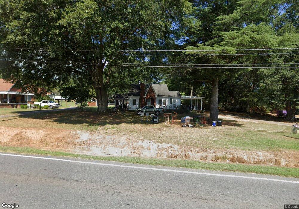
848 W Highway 27 Lincolnton, NC 28092
Estimated Value: $185,000 - $267,000
3
Beds
2
Baths
1,290
Sq Ft
$177/Sq Ft
Est. Value
About This Home
This home is located at 848 W Highway 27, Lincolnton, NC 28092 and is currently estimated at $227,765, approximately $176 per square foot. 848 W Highway 27 is a home located in Lincoln County with nearby schools including Norris S. Childers Elementary School, West Lincoln Middle, and West Lincoln High School.
Ownership History
Date
Name
Owned For
Owner Type
Purchase Details
Closed on
Jun 12, 2014
Bought by
Saine Jerry Kenneth and Saine Alta B S
Current Estimated Value
Purchase Details
Closed on
May 22, 2014
Sold by
Mccurry Rhonda D
Bought by
Drum Gwendolyn H and Drum Shirley
Purchase Details
Closed on
Nov 4, 2011
Sold by
Drum Gwendolyn H and Drum Shirley
Bought by
Mccurry Rhonda D
Create a Home Valuation Report for This Property
The Home Valuation Report is an in-depth analysis detailing your home's value as well as a comparison with similar homes in the area
Home Values in the Area
Average Home Value in this Area
Purchase History
| Date | Buyer | Sale Price | Title Company |
|---|---|---|---|
| Saine Jerry Kenneth | $115,000 | -- | |
| Drum Gwendolyn H | -- | None Available | |
| Mccurry Rhonda D | $45,000 | None Available |
Source: Public Records
Tax History Compared to Growth
Tax History
| Year | Tax Paid | Tax Assessment Tax Assessment Total Assessment is a certain percentage of the fair market value that is determined by local assessors to be the total taxable value of land and additions on the property. | Land | Improvement |
|---|---|---|---|---|
| 2025 | $1,254 | $175,626 | $28,000 | $147,626 |
| 2024 | $1,234 | $175,626 | $28,000 | $147,626 |
| 2023 | $1,229 | $175,626 | $28,000 | $147,626 |
| 2022 | $797 | $90,352 | $22,000 | $68,352 |
| 2021 | $797 | $90,352 | $22,000 | $68,352 |
| 2020 | $664 | $90,352 | $22,000 | $68,352 |
| 2019 | $664 | $90,352 | $22,000 | $68,352 |
| 2018 | $710 | $83,054 | $20,000 | $63,054 |
| 2017 | $609 | $83,054 | $20,000 | $63,054 |
| 2016 | $609 | $83,054 | $20,000 | $63,054 |
| 2015 | $681 | $83,054 | $20,000 | $63,054 |
| 2014 | $749 | $94,728 | $21,000 | $73,728 |
Source: Public Records
Map
Nearby Homes
- 0 N Carolina 182 Unit CAR4246688
- 668 Riverside Dr
- 1070 N Carolina 182
- 515 Willow St
- 524 Bonview Ave
- 697 S Grove St
- 689 S Grove St
- 681 S Grove St
- 665 S Grove St
- 411 W Sycamore St
- 627 W Main St
- 502 Forney Ave
- 743 Lore Rd
- 00 Glenn St
- 801 N Grove St
- 327 Bonview Ave
- 317 S High St
- 818 Grier St
- 792 Carolina Mill Cir
- 535 Norman Fair Ave
- 860 W Highway 27
- 870 W Highway 27
- 870 W Hwy 27 Hwy
- 870 Nc Hwy 27 Hwy
- 242 Hershel Lackey Rd
- 841 W Highway 27
- 851 W Highway 27
- 211 Hershel Lackey Rd
- 859 W Highway 27
- 880 W Highway 27
- 873 W Highway 27
- 892 W Highway 27
- 000 W Nc Hwy 27 Hwy
- 885 W Highway 27
- 792 W Highway 150
- 799 N Carolina 27
- 181, 205, 199 Hershel Lackey Rd
- 169 Hershel Lackey Rd
- 908 W Highway 27
- 0 Hershel Lackey Rd