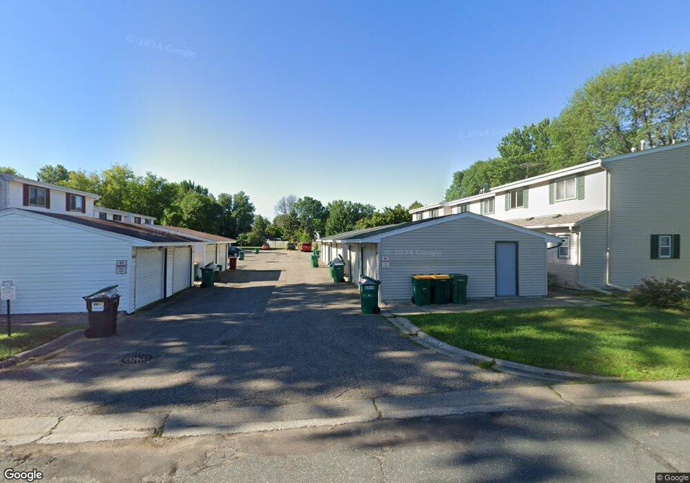
848 Woodgate Dr Unit 214 Saint Paul, MN 55127
Estimated Value: $170,000 - $192,705
2
Beds
2
Baths
936
Sq Ft
$198/Sq Ft
Est. Value
About This Home
This home is located at 848 Woodgate Dr Unit 214, Saint Paul, MN 55127 and is currently estimated at $185,676, approximately $198 per square foot. 848 Woodgate Dr Unit 214 is a home located in Ramsey County with nearby schools including Vadnais Heights Elementary School, Sunrise Park Middle School, and AFSA High School.
Ownership History
Date
Name
Owned For
Owner Type
Purchase Details
Closed on
Mar 9, 2020
Sold by
Stamness Crystal Crystal
Bought by
Maietta Robert Robert
Current Estimated Value
Home Financials for this Owner
Home Financials are based on the most recent Mortgage that was taken out on this home.
Interest Rate
3.29%
Purchase Details
Closed on
Jan 18, 2014
Sold by
Stamness Nathan Lael
Bought by
Stamness Crystal Mae
Create a Home Valuation Report for This Property
The Home Valuation Report is an in-depth analysis detailing your home's value as well as a comparison with similar homes in the area
Home Values in the Area
Average Home Value in this Area
Purchase History
| Date | Buyer | Sale Price | Title Company |
|---|---|---|---|
| Maietta Robert Robert | $130,000 | -- | |
| Stamness Crystal Mae | -- | None Available |
Source: Public Records
Mortgage History
| Date | Status | Borrower | Loan Amount |
|---|---|---|---|
| Closed | Maietta Robert Robert | -- |
Source: Public Records
Tax History Compared to Growth
Tax History
| Year | Tax Paid | Tax Assessment Tax Assessment Total Assessment is a certain percentage of the fair market value that is determined by local assessors to be the total taxable value of land and additions on the property. | Land | Improvement |
|---|---|---|---|---|
| 2025 | $1,974 | $195,200 | $30,000 | $165,200 |
| 2023 | $1,974 | $168,300 | $30,000 | $138,300 |
| 2022 | $1,430 | $171,500 | $30,000 | $141,500 |
| 2021 | $1,368 | $125,000 | $30,000 | $95,000 |
| 2020 | $1,092 | $123,800 | $30,000 | $93,800 |
| 2019 | $896 | $99,000 | $20,000 | $79,000 |
| 2018 | $696 | $90,000 | $20,000 | $70,000 |
| 2017 | $680 | $76,900 | $20,000 | $56,900 |
| 2016 | $712 | $0 | $0 | $0 |
| 2015 | $654 | $73,200 | $11,000 | $62,200 |
| 2014 | $622 | $0 | $0 | $0 |
Source: Public Records
Map
Nearby Homes
- 832 Woodgate Dr Unit 107
- 697 Parkside Dr Unit 697H
- 3300 Greenbrier St Unit 3300C
- 3120 Greenbrier St
- 963 E Berwood Ave
- 731 Berwood Ave
- 3329 Greenbrier St
- 696 Monn Ave
- 3230 Edgerton St
- 3003 Greenbrier St
- 3000 Ontario Rd
- 3028 Edgerton St
- 3020 Carey Heights Dr
- 3092 Vanderbie St
- 3015 Basswood St
- Revere Plan at Pioneer Commons - Colonial Manor Collection
- Franklin Plan at Pioneer Commons - Colonial Manor Collection
- Raleigh Plan at Pioneer Commons - Liberty Collection
- St.Clair Plan at Pioneer Commons - Liberty Collection
- 1285 County Road D Cir E Unit B
- 854 Woodgate Dr Unit 217
- 852 Woodgate Dr Unit 216
- 856 Woodgate Dr Unit 218
- 842 Woodgate Dr Unit 211
- 860 Woodgate Dr Unit 220
- 846 Woodgate Dr Unit 213
- 858 Woodgate Dr Unit 219
- 850 Woodgate Dr Unit 215
- 824 824 Woodgate Dr
- 848 848 Woodgate-Drive-
- 854 854 Woodgate-Drive-
- 838 838 Woodgate Dr
- 826 826 Woodgate-Drive-
- 858 858 Woodgate Dr
- 848 848 Woodgate Dr
- 820 820 Woodgate Dr
- 832 832 Woodgate Dr
- 832 832 Woodgate-Drive-
- 850 850 Woodgate Dr
- 844 844 Woodgate-Drive-