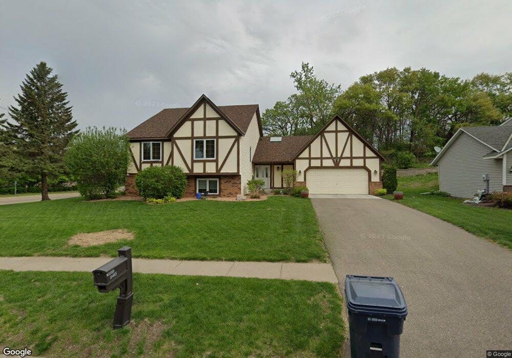
8485 135th St W Saint Paul, MN 55124
Alimagnet NeighborhoodEstimated Value: $455,791 - $485,000
5
Beds
3
Baths
2,392
Sq Ft
$197/Sq Ft
Est. Value
About This Home
This home is located at 8485 135th St W, Saint Paul, MN 55124 and is currently estimated at $470,198, approximately $196 per square foot. 8485 135th St W is a home located in Dakota County with nearby schools including Westview Elementary School, Falcon Ridge Middle School, and Apple Valley Senior High School.
Ownership History
Date
Name
Owned For
Owner Type
Purchase Details
Closed on
Oct 7, 2021
Sold by
Nygaard Sharon D
Bought by
Picht Benjamin and Picht Karianne
Current Estimated Value
Home Financials for this Owner
Home Financials are based on the most recent Mortgage that was taken out on this home.
Original Mortgage
$366,350
Outstanding Balance
$334,077
Interest Rate
2.8%
Mortgage Type
New Conventional
Estimated Equity
$136,121
Create a Home Valuation Report for This Property
The Home Valuation Report is an in-depth analysis detailing your home's value as well as a comparison with similar homes in the area
Home Values in the Area
Average Home Value in this Area
Purchase History
| Date | Buyer | Sale Price | Title Company |
|---|---|---|---|
| Picht Benjamin | $431,000 | Burnet Title |
Source: Public Records
Mortgage History
| Date | Status | Borrower | Loan Amount |
|---|---|---|---|
| Open | Picht Benjamin | $366,350 |
Source: Public Records
Tax History Compared to Growth
Tax History
| Year | Tax Paid | Tax Assessment Tax Assessment Total Assessment is a certain percentage of the fair market value that is determined by local assessors to be the total taxable value of land and additions on the property. | Land | Improvement |
|---|---|---|---|---|
| 2024 | $4,364 | $385,600 | $81,900 | $303,700 |
| 2023 | $4,364 | $386,400 | $82,100 | $304,300 |
| 2022 | $3,752 | $372,500 | $81,800 | $290,700 |
| 2021 | $3,614 | $327,700 | $71,200 | $256,500 |
| 2020 | $3,596 | $310,000 | $70,500 | $239,500 |
| 2019 | $3,207 | $300,000 | $67,200 | $232,800 |
| 2018 | $3,000 | $281,500 | $63,900 | $217,600 |
| 2017 | $3,050 | $254,400 | $60,900 | $193,500 |
| 2016 | $3,099 | $246,200 | $58,000 | $188,200 |
| 2015 | $2,766 | $232,099 | $53,446 | $178,653 |
| 2014 | -- | $208,010 | $50,662 | $157,348 |
| 2013 | -- | $200,925 | $46,622 | $154,303 |
Source: Public Records
Map
Nearby Homes
- 13751 Hollybrook Cir
- 13731 Hollybrook Cir
- 13727 Hollybrook Cir
- The Sophia Plan at Eagle Pointe - Townhomes
- The Amelia Plan at Eagle Pointe - Townhomes
- The Magnolia Plan at Eagle Pointe - Townhomes
- The Nolan Plan at Eagle Pointe - Townhomes
- 13613 Hollybrook Dr
- 13609 Hollybrook Dr
- 13599 Hollybrook Dr
- 13591 Hollybrook Way
- 13761 Hollybrook Cir
- 13345 Huntington Cir
- 13306 Huntington Cir
- 13820 Holyoke Path
- 14132 Heywood Path
- 451 Reflection Rd
- 14172 Heywood Path
- 13101 Heritage Way
- 13420 Gull Ct
- 8465 135th St W
- 8446 134th Street Ct
- 8490 8490 135th-Street-w
- 8450 134th Street Ct
- 13479 Garden View Dr
- 8490 135th St W
- 8470 135th St W
- 8523 135th St W Unit 1
- 8523 135th St W Unit 2
- 8450 135th St W
- 8440 134th Street Ct
- 8541 8541 135th-Street-w
- 8541 135th St W
- 13437 Garden View Dr
- 13545 Hershey Ct
- 13465 Garden View Dr
- 8480 134th Street Ct
- 8543 135th St W
- 8520 135th St W
- 13451 Garden View Dr