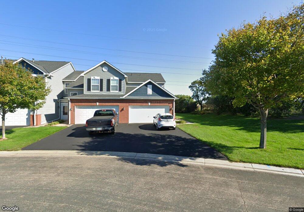
8493 Grove Cir Unit 716 Shakopee, MN 55379
Estimated Value: $237,868 - $265,000
2
Beds
2
Baths
1,294
Sq Ft
$196/Sq Ft
Est. Value
About This Home
This home is located at 8493 Grove Cir Unit 716, Shakopee, MN 55379 and is currently estimated at $253,217, approximately $195 per square foot. 8493 Grove Cir Unit 716 is a home located in Scott County with nearby schools including Eagle Ridge Middle School, Burnsville High School, and Aspen Academy.
Ownership History
Date
Name
Owned For
Owner Type
Purchase Details
Closed on
Oct 11, 2018
Sold by
Brown Mary Ann
Bought by
Yankey Samuel and Yankey Martha
Current Estimated Value
Home Financials for this Owner
Home Financials are based on the most recent Mortgage that was taken out on this home.
Original Mortgage
$166,250
Interest Rate
4.8%
Mortgage Type
New Conventional
Purchase Details
Closed on
Oct 5, 2018
Sold by
Rick Karen L and Rick Donald E
Bought by
Brown Mary Ann
Home Financials for this Owner
Home Financials are based on the most recent Mortgage that was taken out on this home.
Original Mortgage
$166,250
Interest Rate
4.8%
Mortgage Type
New Conventional
Purchase Details
Closed on
Dec 23, 2003
Sold by
The Ryland Group Inc
Bought by
Brown Mary Ann and Brown Kenneth L
Create a Home Valuation Report for This Property
The Home Valuation Report is an in-depth analysis detailing your home's value as well as a comparison with similar homes in the area
Home Values in the Area
Average Home Value in this Area
Purchase History
| Date | Buyer | Sale Price | Title Company |
|---|---|---|---|
| Yankey Samuel | $175,000 | Burnet Title | |
| Brown Mary Ann | -- | Burnet Title | |
| Brown Mary Ann | -- | Burnet Title | |
| Brown Mary Ann | $172,002 | -- |
Source: Public Records
Mortgage History
| Date | Status | Borrower | Loan Amount |
|---|---|---|---|
| Previous Owner | Yankey Samuel | $166,250 |
Source: Public Records
Tax History Compared to Growth
Tax History
| Year | Tax Paid | Tax Assessment Tax Assessment Total Assessment is a certain percentage of the fair market value that is determined by local assessors to be the total taxable value of land and additions on the property. | Land | Improvement |
|---|---|---|---|---|
| 2025 | $1,828 | $217,300 | $57,800 | $159,500 |
| 2024 | $1,900 | $207,300 | $55,000 | $152,300 |
| 2023 | $1,966 | $204,500 | $54,000 | $150,500 |
| 2022 | $1,586 | $206,600 | $55,300 | $151,300 |
| 2021 | $1,464 | $164,900 | $45,600 | $119,300 |
| 2020 | $1,666 | $148,800 | $28,900 | $119,900 |
| 2019 | $1,618 | $158,300 | $30,500 | $127,800 |
| 2018 | $1,674 | $0 | $0 | $0 |
| 2016 | $1,554 | $0 | $0 | $0 |
| 2014 | -- | $0 | $0 | $0 |
Source: Public Records
Map
Nearby Homes
- 8042 Stratford Cir S
- 1782 Switchgrass Cir
- 1339 Yorkshire Ln
- 7499 Derby Ln
- 8490 Moraine Cir
- 7450 Ridge Creek Trail
- 9009 Preserve Trail
- 8574 Mcguire Ct E
- 13134 Falcons Way
- 8867 Preserve Place
- 9007 Meadow Place
- 7427 Water St
- 8821 Preserve Place
- 7696 Waverly Ave
- 6869 Falmouth Curve
- 13186 Meadow Ln
- 7660 Waverly Ave
- 7698 22nd Ave E
- 7638 22nd Ave S
- 7499 22nd Ave S
- 8485 Grove Cir
- 8477 Grove Cir
- 8477 Grove Cir Unit 714
- 8469 Grove Cir
- 8461 Grove Cir Unit 712
- 8453 Grove Cir
- 8480 Grove Cir Unit 612
- 8488 Grove Cir Unit 611
- 8472 Grove Cir
- 8464 Grove Cir
- 8456 Grove Cir Unit 615
- 8437 Grove Cir Unit 915
- 8448 Grove Cir Unit 616
- 8445 Grove Cir Unit 916
- 8429 Grove Cir Unit 914
- 8582 Grove Cir
- 8586 Grove Cir Unit 511
- 8421 Grove Cir
- 8421 Grove Cir Unit 913
- 8578 Grove Cir Unit 513