85 Bolton Hill Rd Center Conway, NH 03813
Estimated Value: $576,000 - $644,000
3
Beds
3
Baths
2,044
Sq Ft
$304/Sq Ft
Est. Value
About This Home
This home is located at 85 Bolton Hill Rd, Center Conway, NH 03813 and is currently estimated at $621,898, approximately $304 per square foot. 85 Bolton Hill Rd is a home with nearby schools including A. Crosby Kennett Middle School, Kennett High School, and Robert Frost Charter School.
Ownership History
Date
Name
Owned For
Owner Type
Purchase Details
Closed on
May 4, 2005
Sold by
Redstone Props Inc
Bought by
Leavitt Clayton F and Leavitt Darlene T
Current Estimated Value
Home Financials for this Owner
Home Financials are based on the most recent Mortgage that was taken out on this home.
Original Mortgage
$216,000
Outstanding Balance
$113,851
Interest Rate
6.01%
Mortgage Type
Purchase Money Mortgage
Estimated Equity
$508,047
Create a Home Valuation Report for This Property
The Home Valuation Report is an in-depth analysis detailing your home's value as well as a comparison with similar homes in the area
Home Values in the Area
Average Home Value in this Area
Purchase History
| Date | Buyer | Sale Price | Title Company |
|---|---|---|---|
| Leavitt Clayton F | $17,600 | -- |
Source: Public Records
Mortgage History
| Date | Status | Borrower | Loan Amount |
|---|---|---|---|
| Open | Leavitt Clayton F | $216,000 |
Source: Public Records
Tax History Compared to Growth
Tax History
| Year | Tax Paid | Tax Assessment Tax Assessment Total Assessment is a certain percentage of the fair market value that is determined by local assessors to be the total taxable value of land and additions on the property. | Land | Improvement |
|---|---|---|---|---|
| 2024 | $6,688 | $590,800 | $56,900 | $533,900 |
| 2023 | $6,487 | $590,800 | $56,900 | $533,900 |
| 2022 | $5,616 | $306,700 | $50,100 | $256,600 |
| 2021 | $5,011 | $306,700 | $50,100 | $256,600 |
| 2020 | $5,266 | $306,700 | $50,100 | $256,600 |
| 2019 | $5,312 | $306,700 | $50,100 | $256,600 |
| 2018 | $423 | $265,400 | $55,100 | $210,300 |
| 2017 | $5,303 | $265,400 | $55,100 | $210,300 |
| 2016 | $5,125 | $265,400 | $55,100 | $210,300 |
| 2015 | $5,066 | $265,400 | $55,100 | $210,300 |
| 2014 | -- | $265,400 | $55,100 | $210,300 |
| 2013 | -- | $280,000 | $55,100 | $224,900 |
Source: Public Records
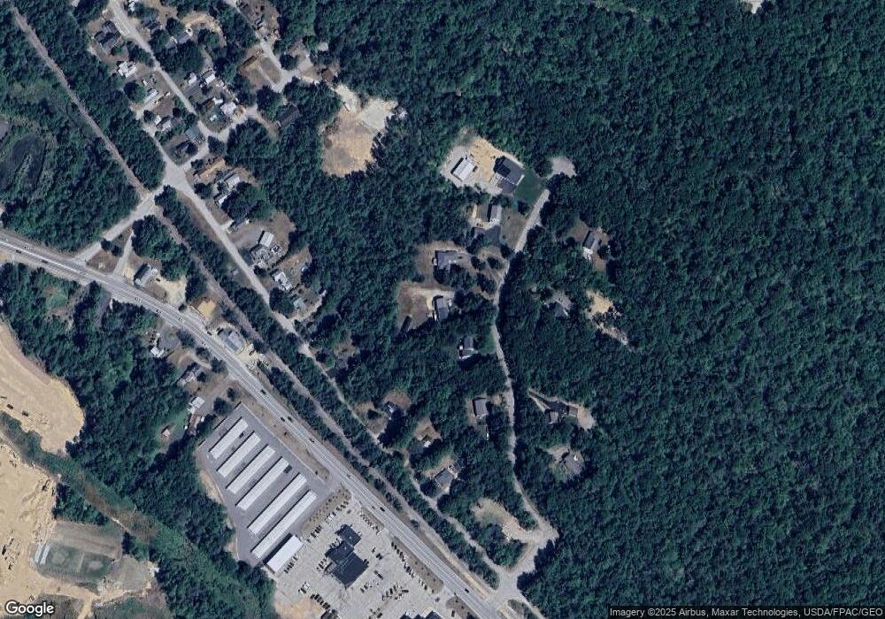
Map
Nearby Homes
- 301 Redstone St
- 928 Eastman Rd
- 0 Bonita's Way Unit 5
- 0 Bonita's Way Unit 20
- 109 Wylie Ct
- 112 Wylie Ct
- 70 Wylie Ct Unit 15
- 42 Wylie Ct Unit 9
- 42 Wylie Ct Unit 6
- 42 Wylie Ct Unit 1
- 78 B St
- 30 Moat Brook Dr
- 357 Lamplighters Dr
- 26 Campfire St
- 42 Buckingham Dr
- 74 Lamplighter's Dr
- 15 Trailer Ave
- 66 Lamplighter's Dr
- 27 Firelite Rd
- 33 Longbow Dr
- 75 Bolton Hill Rd
- 95 Bolton Hill Rd
- 86 Odell Hill Rd
- 189 Redstone St
- 1 Bolton Hill Rd Unit 1
- 223 Redstone St
- 213 Redstone St
- 86 Bolton Hill Rd
- 233 Redstone St
- 175 Redstone St
- 115 Bolton Hill Rd
- 66 Bolton Hill Rd
- Lot #10 Bolton Hill Rd
- 245 Redstone St
- 110 Bolton Hill Rd
- 253 Redstone St
- 875 Eastman Rd
- 267 Redstone St
- 57 Bolton Hill Rd
- 271 Redstone St