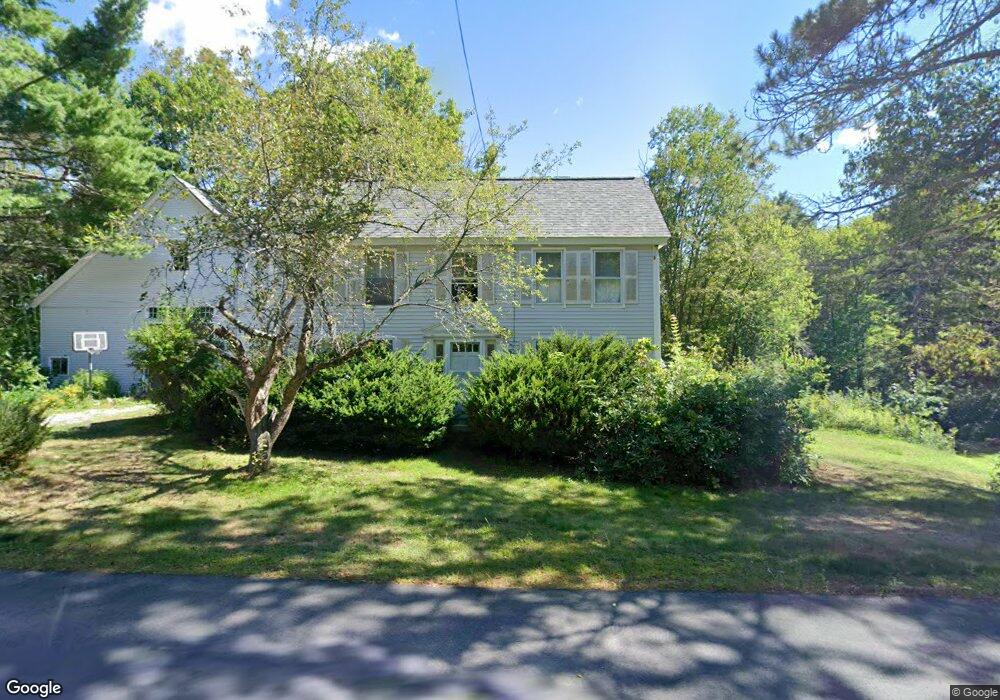
85 E Main St Rindge, NH 03461
Estimated Value: $382,142 - $489,000
2
Beds
2
Baths
1,958
Sq Ft
$221/Sq Ft
Est. Value
About This Home
This home is located at 85 E Main St, Rindge, NH 03461 and is currently estimated at $432,786, approximately $221 per square foot. 85 E Main St is a home located in Cheshire County with nearby schools including Rindge Memorial School, Conant Middle High School, and Conant High School.
Ownership History
Date
Name
Owned For
Owner Type
Purchase Details
Closed on
Aug 21, 1995
Bought by
Kennedy Michael J and Webster Carrie C
Current Estimated Value
Create a Home Valuation Report for This Property
The Home Valuation Report is an in-depth analysis detailing your home's value as well as a comparison with similar homes in the area
Home Values in the Area
Average Home Value in this Area
Purchase History
| Date | Buyer | Sale Price | Title Company |
|---|---|---|---|
| Kennedy Michael J | $89,000 | -- |
Source: Public Records
Mortgage History
| Date | Status | Borrower | Loan Amount |
|---|---|---|---|
| Open | Kennedy Michael J | $145,000 |
Source: Public Records
Tax History
| Year | Tax Paid | Tax Assessment Tax Assessment Total Assessment is a certain percentage of the fair market value that is determined by local assessors to be the total taxable value of land and additions on the property. | Land | Improvement |
|---|---|---|---|---|
| 2024 | $5,528 | $218,400 | $50,000 | $168,400 |
| 2023 | $5,469 | $218,400 | $50,000 | $168,400 |
| 2022 | $5,030 | $218,400 | $50,000 | $168,400 |
| 2021 | $4,949 | $218,500 | $50,000 | $168,500 |
| 2020 | $4,905 | $218,500 | $50,000 | $168,500 |
| 2019 | $3,989 | $143,700 | $39,000 | $104,700 |
| 2018 | $3,952 | $143,700 | $39,000 | $104,700 |
| 2017 | $3,907 | $143,700 | $39,000 | $104,700 |
| 2016 | $4,011 | $143,700 | $39,000 | $104,700 |
| 2015 | $4,008 | $143,700 | $39,000 | $104,700 |
| 2014 | $4,740 | $182,100 | $65,000 | $117,100 |
| 2013 | $4,636 | $182,100 | $65,000 | $117,100 |
Source: Public Records
Map
Nearby Homes
- 10 Sun Cliff Dr
- 420 Old New Ipswich Rd
- 634 Old New Ipswich Rd
- 78 Colburn Ln
- 4 Sportsman Ln
- 518 Main St
- 19 Monomonac Terrace
- 20 Smith Dr
- 226 Lakeview Dr
- 196 Lord Brook Rd
- 20 Amalia Way
- Unit 1 Willow Ln Unit 1
- 98 Goldmine Rd
- 28 Saybrook Dr
- Lot 1 Saybrook Dr
- 122 Timbertop Rd
- Lot 3 Saybrook Dr
- 0 Monomonac Rd W
- 27 Westbrook Dr
- 226 Glenallen St
Your Personal Tour Guide
Ask me questions while you tour the home.