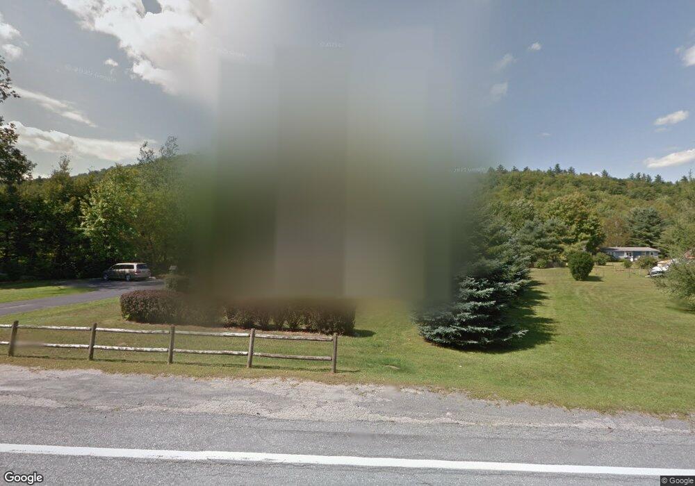
85 N 116 Rd Bristol, VT 05443
Estimated Value: $438,000
3
Beds
2
Baths
1,680
Sq Ft
$261/Sq Ft
Est. Value
About This Home
This home is located at 85 N 116 Rd, Bristol, VT 05443 and is currently estimated at $438,000, approximately $260 per square foot. 85 N 116 Rd is a home located in Addison County with nearby schools including Bristol Elementary School, Mt. Abraham Union Middle/High School, and The Red Cedar School.
Ownership History
Date
Name
Owned For
Owner Type
Purchase Details
Closed on
Aug 30, 2021
Sold by
Morgan Patricia A and Morgan George R
Bought by
Ward Scott Allen
Current Estimated Value
Purchase Details
Closed on
Apr 22, 2020
Sold by
Merrill Richard E
Bought by
Merrill Trustee Richard E
Purchase Details
Closed on
Jun 28, 2018
Sold by
Morgan Patricia A
Bought by
Morgan Patricia A and Morgan George R
Purchase Details
Closed on
Oct 31, 2014
Sold by
Delisle Charlotte
Bought by
Degraw Cheryl L and Morgan Patricia A
Create a Home Valuation Report for This Property
The Home Valuation Report is an in-depth analysis detailing your home's value as well as a comparison with similar homes in the area
Home Values in the Area
Average Home Value in this Area
Purchase History
| Date | Buyer | Sale Price | Title Company |
|---|---|---|---|
| Ward Scott Allen | $314,000 | -- | |
| Ward Scott Allen | $314,000 | -- | |
| Merrill Trustee Richard E | -- | -- | |
| Merrill Trustee Richard E | -- | -- | |
| Morgan Patricia A | -- | -- | |
| Degraw Cheryl L | -- | -- |
Source: Public Records
Tax History Compared to Growth
Tax History
| Year | Tax Paid | Tax Assessment Tax Assessment Total Assessment is a certain percentage of the fair market value that is determined by local assessors to be the total taxable value of land and additions on the property. | Land | Improvement |
|---|---|---|---|---|
| 2024 | $7,392 | $268,300 | $49,500 | $218,800 |
| 2023 | $6,769 | $268,300 | $49,500 | $218,800 |
| 2022 | $6,498 | $268,300 | $49,500 | $218,800 |
| 2021 | $6,690 | $268,300 | $49,500 | $218,800 |
| 2020 | $6,568 | $268,300 | $49,500 | $218,800 |
| 2019 | $4,899 | $268,300 | $49,500 | $218,800 |
| 2018 | $6,074 | $268,300 | $49,500 | $218,800 |
| 2016 | $5,948 | $241,800 | $40,000 | $201,800 |
Source: Public Records
Map
Nearby Homes
- 1433 N 116 Rd
- 1433 N 116 Rd Unit B
- 26 Mountain St
- 1794 W River Rd
- 38 North St
- 64 Taylor Ave
- 382 Hewitt Rd
- 438 Monkton Rd
- 378 S 116 Rd
- tbd Monkton Rd
- 204 W River Rd
- 0 Upper Meehan Rd
- 3645 S 116 Rd
- TBD Blackberry Ln
- 2024 Sycamore Park
- 1335 Downingsville Rd
- 141 Cold Spring Rd
- 112 Lower Hardscrabble Rd
- 196 Lafayette Rd
- 143 Biddle Rd
- 85 Rt 116n Rd
- 27 Riversbend Rd
- 27 Riversbend Rd
- 19 N 116 Rd
- 19 N 116 Rd
- 215 N 116 Rd
- 846 Rockydale Rd
- 811 Rockydale Rd
- 367 Briggs Hill Rd
- 806 Rockydale Rd
- 207 Deerleap View
- 243 Deerleap View
- 225 Deerleap View
- 260 Deerleap View
- 187 Deerleap View
- 681 Rockydale Rd
- 718 Rockydale Rd
- 100 Deerleap View
- 641 Rockydale Rd
- 43 Deerleap View