85 Pointe Trinity Dr Strafford, NH 03884
Estimated Value: $841,000 - $1,014,108
3
Beds
3
Baths
2,504
Sq Ft
$374/Sq Ft
Est. Value
About This Home
This home is located at 85 Pointe Trinity Dr, Strafford, NH 03884 and is currently estimated at $936,369, approximately $373 per square foot. 85 Pointe Trinity Dr is a home located in Strafford County with nearby schools including Strafford School and Coe-Brown Northwood Academy.
Ownership History
Date
Name
Owned For
Owner Type
Purchase Details
Closed on
Jan 26, 2010
Sold by
Geddes David M
Bought by
Johansen Lawrence A and Johansen Carolyn A
Current Estimated Value
Home Financials for this Owner
Home Financials are based on the most recent Mortgage that was taken out on this home.
Original Mortgage
$395,000
Interest Rate
4.79%
Mortgage Type
Purchase Money Mortgage
Create a Home Valuation Report for This Property
The Home Valuation Report is an in-depth analysis detailing your home's value as well as a comparison with similar homes in the area
Home Values in the Area
Average Home Value in this Area
Purchase History
| Date | Buyer | Sale Price | Title Company |
|---|---|---|---|
| Johansen Lawrence A | $445,000 | -- |
Source: Public Records
Mortgage History
| Date | Status | Borrower | Loan Amount |
|---|---|---|---|
| Open | Johansen Lawrence A | $360,000 | |
| Closed | Johansen Lawrence A | $395,000 | |
| Previous Owner | Johansen Lawrence A | $300,000 |
Source: Public Records
Tax History
| Year | Tax Paid | Tax Assessment Tax Assessment Total Assessment is a certain percentage of the fair market value that is determined by local assessors to be the total taxable value of land and additions on the property. | Land | Improvement |
|---|---|---|---|---|
| 2024 | $15,237 | $771,100 | $433,300 | $337,800 |
| 2023 | $14,383 | $771,600 | $433,300 | $338,300 |
| 2022 | $13,218 | $771,600 | $433,300 | $338,300 |
| 2021 | $14,244 | $771,600 | $433,300 | $338,300 |
| 2020 | $12,043 | $469,500 | $240,300 | $229,200 |
| 2019 | $10,944 | $466,300 | $240,300 | $226,000 |
| 2018 | $11,019 | $466,300 | $240,300 | $226,000 |
| 2016 | $9,909 | $466,300 | $240,300 | $226,000 |
| 2015 | $10,824 | $496,300 | $274,600 | $221,700 |
| 2014 | $11,494 | $496,300 | $274,600 | $221,700 |
| 2013 | $10,964 | $483,400 | $274,600 | $208,800 |
| 2012 | $10,818 | $483,400 | $274,600 | $208,800 |
Source: Public Records
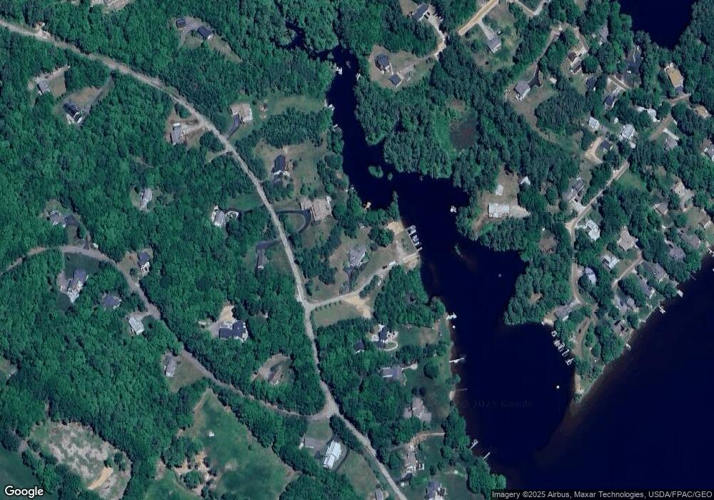
Map
Nearby Homes
- 114 Bow Lake Estates Rd
- 133 & 137 Browns Pasture Rd
- 239 Long Pond Rd
- Map 3 Lot 18-2b and 18-2c Water St
- Map 219 Lot 6-8 Ridge Rd
- 18 Collins Dr
- 0 1st New Hampshire Turnpike Unit 5013320
- 150A 1st New Hampshire Turnpike
- 26 Harmony Rd
- 73 Harvey Lake Rd
- 2 Oak Ct
- 26 Oak St
- 641 & 647 First nh Turnpike
- M37 L40 Beaver Rd
- 11 Chestnut Ln
- 17 Brook Cir
- 617 1st New Hampshire Turnpike Unit 9
- 7 Chestnut Ln
- 21 Brook Cir
- 5 Chestnut Ln
- 71 Pointe Trinity Dr
- 74 Pointe Trinity Dr
- 95 Pointe Trinity Dr
- 67 Pointe Trinity Dr
- 84 Pointe Trinity Dr
- 84 Pointe Trinity Dr Unit 1
- 68 Pointe Trinity Dr
- 99 Pointe Trinity Dr
- 92 Pointe Trinity Dr
- 109 Pointe Trinity Dr
- 55 Pointe Trinity Dr
- 30 Kooaukee Ct
- 96 Bow Lake Rd
- 104 Pointe Trinity Dr
- 104 Pointe Trinity Dr Unit A
- 58 Pointe Trinity Dr
- 52 Pointe Trinity Dr
- 96 Bow Lake Estates Rd
- 37 Carter Way
- 40 Carter Way
Your Personal Tour Guide
Ask me questions while you tour the home.