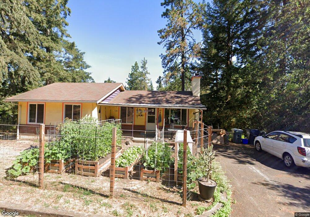
85 Prall Ln Eugene, OR 97405
Crest Drive NeighborhoodEstimated Value: $430,000 - $635,000
3
Beds
2
Baths
934
Sq Ft
$589/Sq Ft
Est. Value
About This Home
This home is located at 85 Prall Ln, Eugene, OR 97405 and is currently estimated at $549,752, approximately $588 per square foot. 85 Prall Ln is a home located in Lane County with nearby schools including Adams Elementary School, Spencer Butte Middle School, and South Eugene High School.
Ownership History
Date
Name
Owned For
Owner Type
Purchase Details
Closed on
Jan 12, 2006
Sold by
Selove Sharon
Bought by
Selove Sharon and Selove John
Current Estimated Value
Purchase Details
Closed on
Jun 22, 2004
Sold by
Mann Louis R and Mann Sharon
Bought by
Mann Louis R and Mann Sharon
Purchase Details
Closed on
Dec 23, 1999
Sold by
Mann Louis R
Bought by
Mann Sharon and Mann Louis R
Purchase Details
Closed on
Jun 4, 1999
Sold by
Sutton Stacey F
Bought by
Mann Louis R
Home Financials for this Owner
Home Financials are based on the most recent Mortgage that was taken out on this home.
Original Mortgage
$96,950
Interest Rate
6.5%
Purchase Details
Closed on
Oct 17, 1997
Sold by
Morgan Mary A
Bought by
Sutton Stacey F
Home Financials for this Owner
Home Financials are based on the most recent Mortgage that was taken out on this home.
Original Mortgage
$78,600
Interest Rate
7.03%
Create a Home Valuation Report for This Property
The Home Valuation Report is an in-depth analysis detailing your home's value as well as a comparison with similar homes in the area
Home Values in the Area
Average Home Value in this Area
Purchase History
| Date | Buyer | Sale Price | Title Company |
|---|---|---|---|
| Selove Sharon | -- | -- | |
| Mann Louis R | -- | -- | |
| Mann Sharon | -- | -- | |
| Mann Louis R | $138,500 | Title Guaranty Company | |
| Sutton Stacey F | $128,600 | Evergreen Land Title Co |
Source: Public Records
Mortgage History
| Date | Status | Borrower | Loan Amount |
|---|---|---|---|
| Closed | Mann Louis R | $96,950 | |
| Previous Owner | Sutton Stacey F | $78,600 |
Source: Public Records
Tax History
| Year | Tax Paid | Tax Assessment Tax Assessment Total Assessment is a certain percentage of the fair market value that is determined by local assessors to be the total taxable value of land and additions on the property. | Land | Improvement |
|---|---|---|---|---|
| 2025 | $4,671 | $239,724 | -- | -- |
| 2024 | $4,613 | $232,742 | -- | -- |
| 2023 | $4,613 | $225,964 | $0 | $0 |
| 2022 | $4,321 | $219,383 | $0 | $0 |
| 2021 | $4,059 | $212,994 | $0 | $0 |
| 2020 | $4,073 | $206,791 | $0 | $0 |
| 2019 | $3,354 | $171,173 | $0 | $0 |
| 2018 | $3,157 | $161,348 | $0 | $0 |
| 2017 | $3,016 | $161,348 | $0 | $0 |
| 2016 | $2,941 | $156,649 | $0 | $0 |
| 2015 | $2,856 | $152,086 | $0 | $0 |
| 2014 | $2,799 | $147,656 | $0 | $0 |
Source: Public Records
Map
Nearby Homes
- 2965 Olive St
- 75 W 35th Place
- 310 1/2 E 31st Ave Unit 1
- 0 Hidden Meadows
- 605 Fulvue Dr
- 84 W 27th Ave
- 357 W 37th Ave
- 3593 Lawrence St
- 453 Dellwood Dr
- 1 Storey Blvd
- 2 Storey Blvd
- 320 Dellwood Dr
- 3023 Hummingbird Ln
- 3031 Hummingbird Ln
- 555 Stafford Ct
- 275 E 39th Ave
- 585 E 36th Ave
- 3160 Whitten Dr
- 790 E 32nd Ave
- 865 W 28th Ave
Your Personal Tour Guide
Ask me questions while you tour the home.