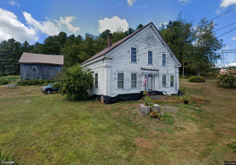
85 Sumner Stetson Rd Colrain, MA 01340
Heath NeighborhoodEstimated Value: $418,000 - $666,000
4
Beds
1
Bath
2,336
Sq Ft
$233/Sq Ft
Est. Value
About This Home
This home is located at 85 Sumner Stetson Rd, Colrain, MA 01340 and is currently estimated at $544,350, approximately $233 per square foot. 85 Sumner Stetson Rd is a home with nearby schools including Mohawk Trail Regional High School.
Ownership History
Date
Name
Owned For
Owner Type
Purchase Details
Closed on
Mar 27, 2015
Sold by
Bishop Richard C
Bought by
Sumner Eric E and Sumner Mary N
Current Estimated Value
Home Financials for this Owner
Home Financials are based on the most recent Mortgage that was taken out on this home.
Original Mortgage
$100,000
Outstanding Balance
$75,915
Interest Rate
3.68%
Mortgage Type
New Conventional
Estimated Equity
$468,435
Purchase Details
Closed on
Jul 10, 2009
Sold by
Sumner Eric E
Bought by
Sumner Eric E and Sumner Mary N
Home Financials for this Owner
Home Financials are based on the most recent Mortgage that was taken out on this home.
Original Mortgage
$115,000
Interest Rate
4.93%
Purchase Details
Closed on
Aug 10, 2001
Sold by
Wilson J Gilbert and Wilson Hazel D
Bought by
Summers Eric E
Create a Home Valuation Report for This Property
The Home Valuation Report is an in-depth analysis detailing your home's value as well as a comparison with similar homes in the area
Home Values in the Area
Average Home Value in this Area
Purchase History
| Date | Buyer | Sale Price | Title Company |
|---|---|---|---|
| Sumner Eric E | -- | -- | |
| Bishop Richard C | -- | -- | |
| Sumner Eric E | -- | -- | |
| Summers Eric E | $40,000 | -- |
Source: Public Records
Mortgage History
| Date | Status | Borrower | Loan Amount |
|---|---|---|---|
| Open | Bishop Richard C | $100,000 | |
| Closed | Sumner Eric E | $67,000 | |
| Previous Owner | Sumner Eric E | $115,000 | |
| Previous Owner | Sumner Eric E | $30,000 | |
| Previous Owner | Summers Eric E | $136,000 |
Source: Public Records
Tax History
| Year | Tax Paid | Tax Assessment Tax Assessment Total Assessment is a certain percentage of the fair market value that is determined by local assessors to be the total taxable value of land and additions on the property. | Land | Improvement |
|---|---|---|---|---|
| 2025 | $9,379 | $498,600 | $171,000 | $327,600 |
| 2024 | $8,852 | $433,300 | $167,000 | $266,300 |
| 2023 | $1,663 | $363,200 | $112,500 | $250,700 |
| 2022 | $7,741 | $359,900 | $112,500 | $247,400 |
| 2021 | $7,242 | $321,600 | $95,000 | $226,600 |
| 2020 | $6,768 | $304,200 | $76,500 | $227,700 |
| 2019 | $1,086 | $305,200 | $77,100 | $228,100 |
| 2018 | $1,097 | $305,200 | $77,100 | $228,100 |
| 2017 | $1,018 | $300,200 | $73,500 | $226,700 |
| 2016 | $5,234 | $255,200 | $63,300 | $191,900 |
| 2015 | $5,096 | $255,300 | $63,300 | $192,000 |
Source: Public Records
Map
Nearby Homes
- 594 Massachusetts 8a
- Lot 121 Davis Mine Rd
- 1192 Chapel Hill Rd
- 442 Mcmillan Rd
- 2173 Vermont 8a
- 14 South Rd
- 1033 Burrington Hill Rd
- 8 Deer Run Path
- 251 Phillips Hill Rd
- 829 Pennel Hill Rd
- 843 Kentfield Rd
- 292 Deer Hill Rd
- 127 County Rd
- 1587 Upper Holbrook Rd
- 233 Poverty Row
- 104 Karen Day Rd
- 0 Potters Rd Unit 248445
- 0 Potters Rd Unit 73439831
- 7139 Vermont Route 100
- 0 W Oxbow Rd Unit 73453651
- 68 Sumner Stetson Rd
- 61 Sumner Stetson Rd
- 108 Sumner Stetson Rd
- 50 Sumner Stetson Rd
- 47 Sumner Stetson Rd
- 107 Sumner Stetson Rd
- 134 Sumner Stetson Rd
- 21 Sumner Stetson Rd
- 186 Sumner Stetson Rd
- 147 Sumner Stetson Rd
- 148 Sumner Stetson Rd
- 64 Brunelle Rd
- 70 Underwood Hill Rd
- 72 Underwood Hill Rd
- 37 Brunelle Rd
- 0 Brunelle Rd
- 153 Sumner Stetson Rd
- 10 Number 9 Rd
- 48 Number 9 Rd
Your Personal Tour Guide
Ask me questions while you tour the home.